
Radenac, commune in Morbihan, France
Location: canton of Rohan
Location: Morbihan
Location: Pontivy Communauté
Location: arrondissement of Pontivy
Elevation above the sea: 109 m
Shares border with: Pleugriffet, Lantillac, Buléon, Saint-Allouestre, Moréac, Réguiny
Phone: +33297224319
Email: mairie.radenac@wanadoo.fr
Website: https://radenac.bzh
GPS coordinates: 47.96278,-2.71250
Latest update: June 7, 2025 19:42
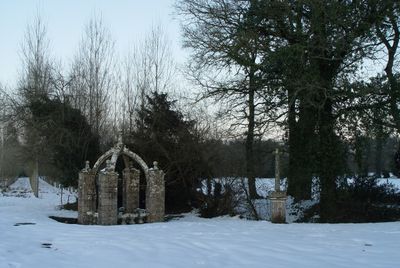
Fontaine Saint-Clair
3.8 km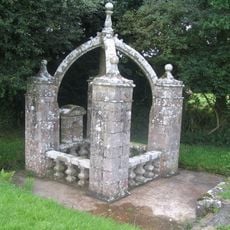
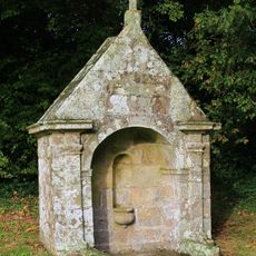
Fontaine Saint-Fiacre
829 m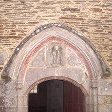
Chapelle Saint-Fiacre de Radenac
1.2 km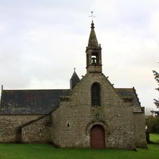
Chapelle Sainte-Anne
6.8 km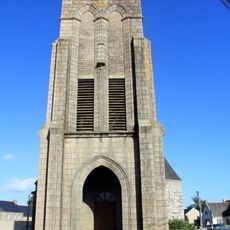
Église Sainte-Brigitte-et-Saint-Georges (Buléon)
4 km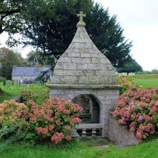
Fontaine Sainte-Anne de Buléon
6.8 km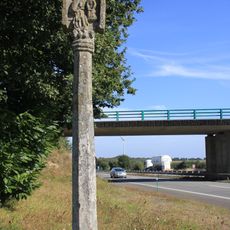
Croix du Point du Jour
4.8 km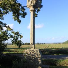
Croix Forhan
6.6 km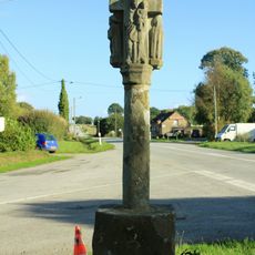
Croix de Landoma
3.4 km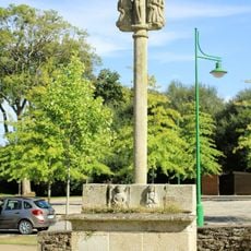
Croix de cimetière de Saint-Allouestre
5.9 km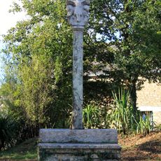
Croix de Camfroux
6.2 km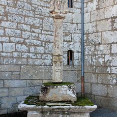
Croix du cimetière (Buléon)
4 km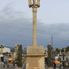
Croix de cimetière (Réguiny)
3.2 km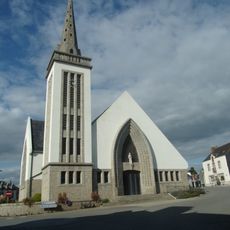
Église Saint-Pierre de Pleugriffet
3.6 km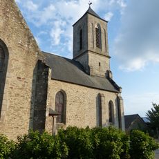
Église Notre-Dame de Lantillac
4.6 km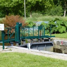
Écluse de Cadoret
6 km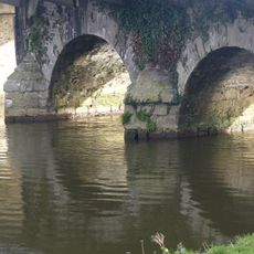
Pont routier de Bocneuf
6.9 km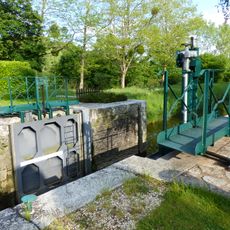
Écluse de Pomeleuc
6.7 km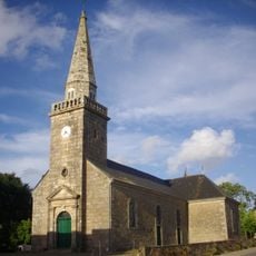
Église Saint-Arnould
5.9 km
Écluse de La Tertraie
6.5 km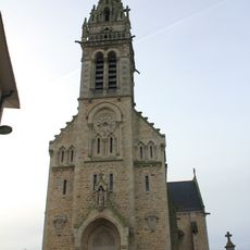
Église Saint-Clair
2.9 km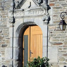
Maison, 9-15 Rue du Manoir
4.7 km
Maison éclusière de Cadoret
6 km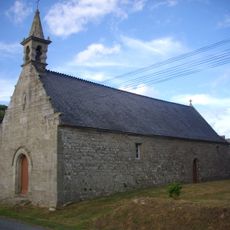
Chapelle Sainte-Suzanne de Bignan
8 km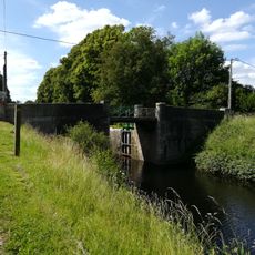
Pont routier de la Tertraie, Berlaga
6.6 km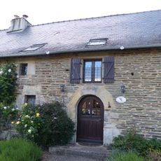
House, Bourgrimaud
6.7 km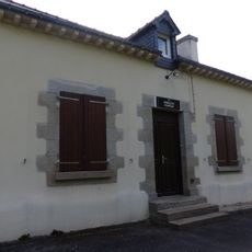
Maison éclusière de Pomeleuc
6.7 km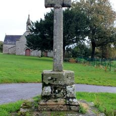
Croix de la Chapelle Sainte-Anne
6.8 kmVisited this place? Tap the stars to rate it and share your experience / photos with the community! Try now! You can cancel it anytime.
Discover hidden gems everywhere you go!
From secret cafés to breathtaking viewpoints, skip the crowded tourist spots and find places that match your style. Our app makes it easy with voice search, smart filtering, route optimization, and insider tips from travelers worldwide. Download now for the complete mobile experience.

A unique approach to discovering new places❞
— Le Figaro
All the places worth exploring❞
— France Info
A tailor-made excursion in just a few clicks❞
— 20 Minutes