
Fleury, commune in Aisne, France
Location: Aisne
Location: arrondissement of Soissons
Elevation above the sea: 98 m
Industry: administration publique générale
Shares border with: Corcy, Dampleux, Montgobert, Puiseux-en-Retz, Villers-Cotterêts
Phone: +33323726590
Email: mairie.fleury@nordnet.fr
GPS coordinates: 49.25806,3.15639
Latest update: March 11, 2025 23:03

Villers-Cotterêts Castle
4.7 km
Cité internationale de la langue française
4.7 km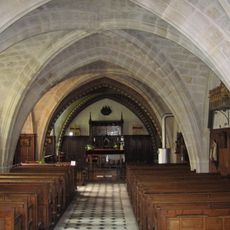
Longpont Abbey
5 km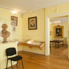
Alexandre Dumas Museum
4.9 km
Château de Montgobert
5.8 km
Valsery Abbey
7 km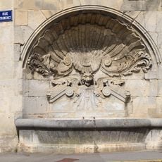
Fontaine de la coquille
5 km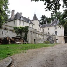
Château de Mazancourt
6.3 km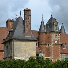
Château d'Oigny-en-Valois
4.5 km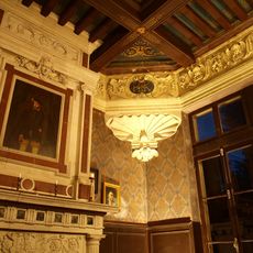
Pavillon Henri II
4.8 km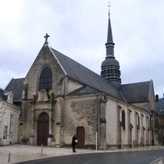
Église Saint-Nicolas de Villers-Cotterêts
4.7 km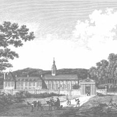
Abbaye de Saint-Rémy-les-Villers-Cotterêts
3.9 kmÉglise Saint-Alban
4 km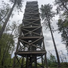
General Mangin Observation Tower
2.8 km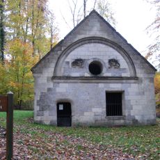
Regard Saint-Hubert
5 km
Hôtel de ville de Villers-Cotterêts
4.8 km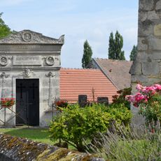
Mausolée du Général Charpentier
4.5 km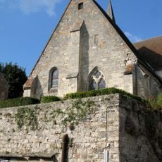
Église Saint-Leu de Dampleux
1.6 km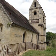
Église Saint-Martin de Soucy
6.6 km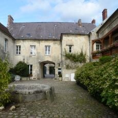
Hôtellerie du Régent
4.7 km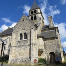
Église Saint-Pierre de Faverolles
4.1 km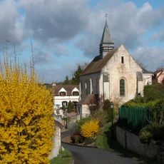
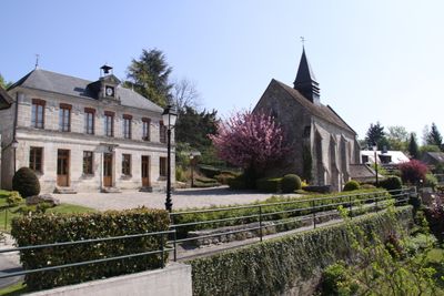
Église Saint-Martin de Fleury
163 m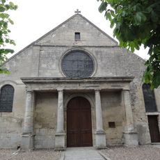
Église Sainte-Marie-et-de-l'Assomption de Vivières
6.1 km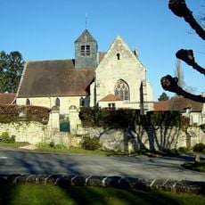
Église Saint-Martin d'Oigny-en-Valois
4.5 km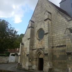
Église Saint-Antoine de Montgobert
5.7 km
Église Saint-Sébastien de Longpont
4.9 km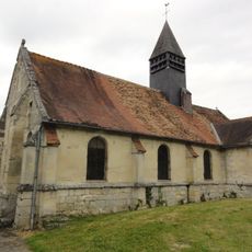
Église Saint-Pierre de Puiseux-en-Retz
4.8 km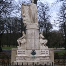
Monument aux morts de Villers-Cotterêts
4.8 kmVisited this place? Tap the stars to rate it and share your experience / photos with the community! Try now! You can cancel it anytime.
Discover hidden gems everywhere you go!
From secret cafés to breathtaking viewpoints, skip the crowded tourist spots and find places that match your style. Our app makes it easy with voice search, smart filtering, route optimization, and insider tips from travelers worldwide. Download now for the complete mobile experience.

A unique approach to discovering new places❞
— Le Figaro
All the places worth exploring❞
— France Info
A tailor-made excursion in just a few clicks❞
— 20 Minutes