
Belberaud, commune in Haute-Garonne, France
Location: canton of Montgiscard
Location: Haute-Garonne
Location: arrondissement of Toulouse
Elevation above the sea: 186 m
Shares border with: Escalquens, Deyme, Fourquevaux, Montlaur, Odars, Pompertuzat
Phone: +33561810354
Email: accueil@mairie-belberaud.com
Website: http://belberaud.fr
GPS coordinates: 43.50778,1.56944
Latest update: June 1, 2025 21:13
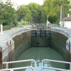
Castanet Lock
4.5 km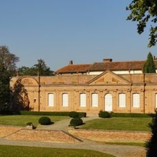
Château de Fourquevaux
4 km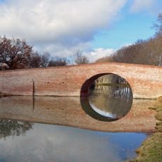
Bridge of Deyme
3 km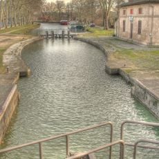
Écluse de Vic
4.2 km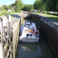
Écluse de Montgiscard
5 km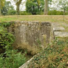
Juncasse Aqueduct
3 km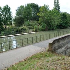
Rieumory Aqueduct
3.7 km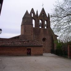
Church of Saint Pierre and Saint Paul in Donneville
4.4 km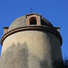
Pigeonnier de Pompertuzat
4.9 km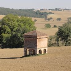
Pigeonnier Reynery
3 km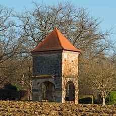
Pigeonnier de Labège
4.8 km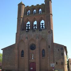
Église Saint-André
5.6 km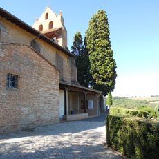
Église Saint-André de Pompertuzat
5.1 km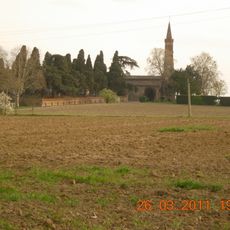
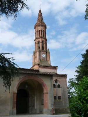
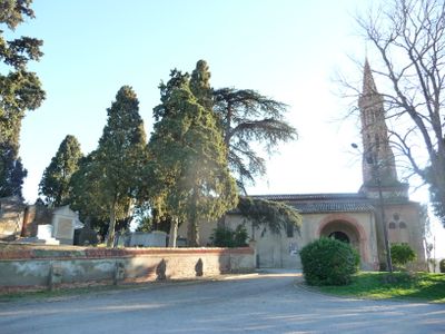
Église Saint Jean-Baptiste de Belberaud
884 m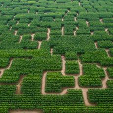
Pop Corn Labyrinthe
4.6 km
Bench
5.4 km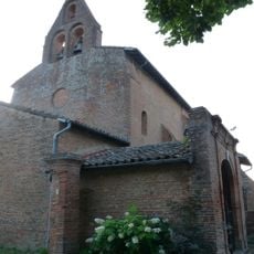
Église Saint-Orens de Saint-Orens-de-Gameville
5.5 km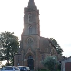
Église Sainte-Foy de Sainte-Foy-d'Aigrefeuille
5.1 km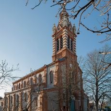
Église Saint-Barthélémy de Labège
4 km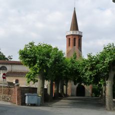
Église Saint-Lautier de Montlaur
2.2 km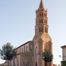
Église Saint-Martin d'Escalquens
1.4 km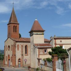
Église Saint-Martin de Péchabou
4.9 km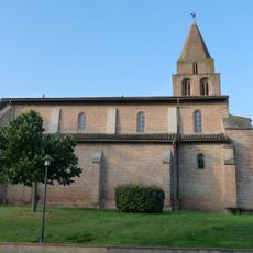
Église Saint-Pierre d'Auzielle
3.8 km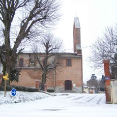
Église Sainte-Madeleine de Deyme
4.8 km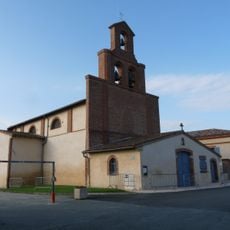
Église Notre-Dame d'Odars
2.5 km
Église Saint-Antoine de Préserville
4.8 km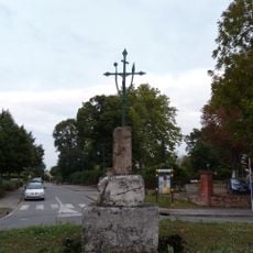
Croix de Saint-Orens-de-Gameville
5.5 km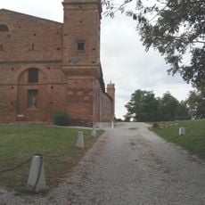
Château de Montlaur
2.7 kmVisited this place? Tap the stars to rate it and share your experience / photos with the community! Try now! You can cancel it anytime.
Discover hidden gems everywhere you go!
From secret cafés to breathtaking viewpoints, skip the crowded tourist spots and find places that match your style. Our app makes it easy with voice search, smart filtering, route optimization, and insider tips from travelers worldwide. Download now for the complete mobile experience.

A unique approach to discovering new places❞
— Le Figaro
All the places worth exploring❞
— France Info
A tailor-made excursion in just a few clicks❞
— 20 Minutes