
Saint-Léger, commune in Charente-Maritime, France
Location: Charente-Maritime
Location: arrondissement of Jonzac
Elevation above the sea: 37 m
Shares border with: Berneuil, Bougneau, Colombiers, Jazennes, Montils, Pons, Saint-Seurin-de-Palenne, Villars-en-Pons
Phone: +33546969163
Email: mairie@saint-leger17.fr
GPS coordinates: 45.62139,-0.58306
Latest update: June 9, 2025 00:26
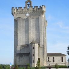
Donjon de Pons
5.6 km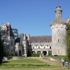
Château d'Usson
6.9 km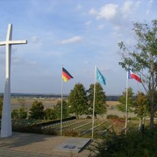
Berneuil German military cemetery
6.6 km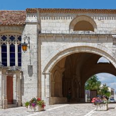
Hôpital des pèlerins de Pons
6.3 km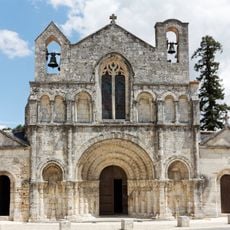
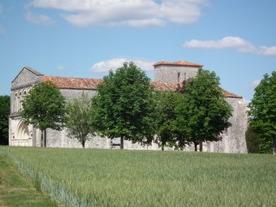
Église Saint-Vivien de Pons
6 km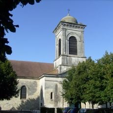
Église Saint-Martin de Pons
5.3 km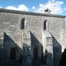
Chapelle Saint-Gilles
5.6 km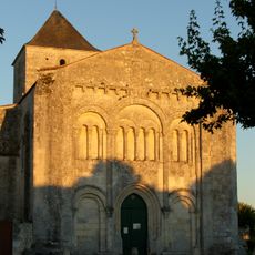
Église Saint-Sulpice de Montils
7 km
Archeological museum of Pons
6.1 km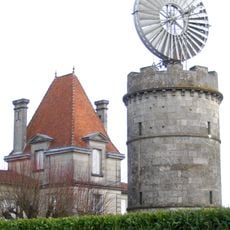
Éolienne du Clône
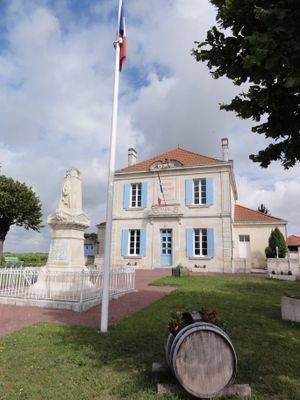
5.4 kmÉglise Saint-Léger de Saint-Léger
564 m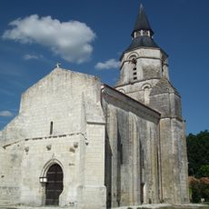
Église Saint-Maclou de Colombiers
3.7 km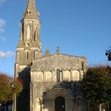
Église Saint-Grégoire de Tesson
5.6 km
Château du Fa
5.6 km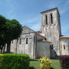
Église de Tanzac
7.2 km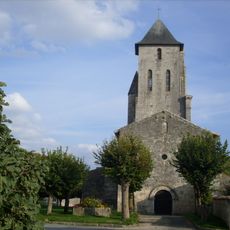
Église Notre-Dame de Berneuil
2.8 km
Église Saint-Pierre de Bougneau
5.8 km
Église Saint-Pallais de Villars-en-Pons
3.5 km
Église Notre-Dame de Jazennes
5.1 km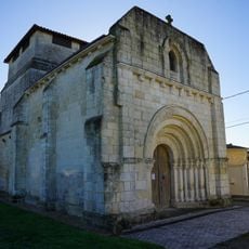
Église Saint-Pierre de Machennes
6.3 km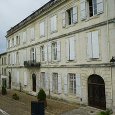
Hôtel Kervilio-Broussard
5.5 km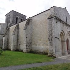
Église Saint-Eulalie de Préguillac
6.1 km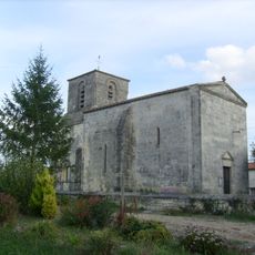
Église de La Jard
3.7 km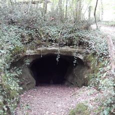
Grotte de Roche-Madame
1.2 km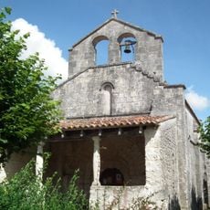
Église Notre-Dame de Mazerolles
8.1 km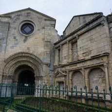
Maison, près du jardin public
5.5 km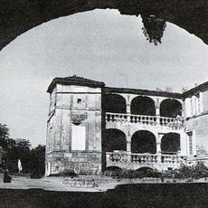
Couvent des cordeliers de Pons
5.5 km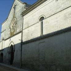
Chapelle des Ursulines de Pons
5.5 kmVisited this place? Tap the stars to rate it and share your experience / photos with the community! Try now! You can cancel it anytime.
Discover hidden gems everywhere you go!
From secret cafés to breathtaking viewpoints, skip the crowded tourist spots and find places that match your style. Our app makes it easy with voice search, smart filtering, route optimization, and insider tips from travelers worldwide. Download now for the complete mobile experience.

A unique approach to discovering new places❞
— Le Figaro
All the places worth exploring❞
— France Info
A tailor-made excursion in just a few clicks❞
— 20 Minutes