
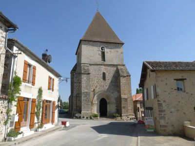
Saulgond, commune in Charente, France
Location: canton of Chabanais
Location: Charente
Location: arrondissement of Confolens
Elevation above the sea: 217 m
Shares border with: Brigueuil, Chabrac, Étagnac, Lesterps, Saint-Christophe, Saint-Maurice-des-Lions, Saint-Junien
Phone: +33545855290
Email: mairiesaulgond@wanadoo.fr
GPS coordinates: 45.95028,0.78417
Latest update: May 27, 2025 22:38
Château de Rochebrune
6 km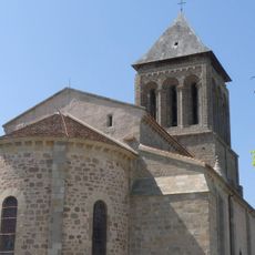
Abbatiale Saint-Pierre de Lesterps
6.7 km
Site Corot
10.1 km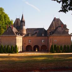
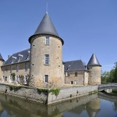
Château de Villevert
10.8 km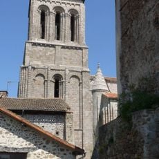
Abbatiale Saint-Pierre de Lesterps
6.7 km
Château de Brigueuil
5.8 km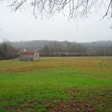
Prieuré d'Étricor
9.1 km
Arboretum du Chêne-Vert
9.1 km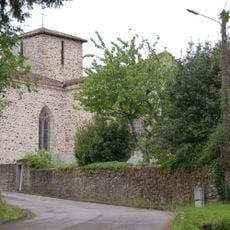
Église Saint-Saturnin de Chaillac-sur-Vienne
10.5 km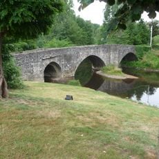
Pont Sainte-Élisabeth (Saint-Junien)
10.4 km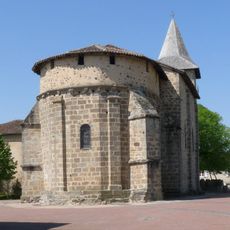
Église Saint-Étienne
10.3 km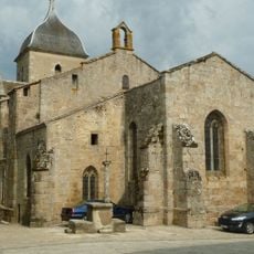
Église Saint-Martial de Brigueuil
5.8 km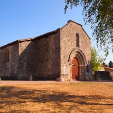
Chapelle de la Commanderie
10.7 km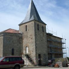
Église de Saint-Christophe
7.8 km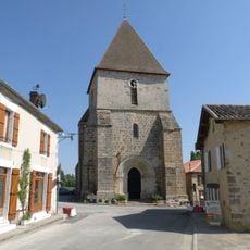
Église Saint-Genis
27 m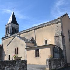
Église Saint-Sulpice
9.5 km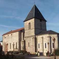
Église Saint-Pierre de Étagnac
6.1 km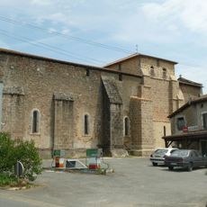
Église Notre-Dame de Chabrac
4.1 km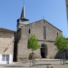
Église Saint-Maurice de Saint-Maurice-des-Lions
6.5 km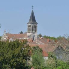
Église Saint-Sébastien
9.5 km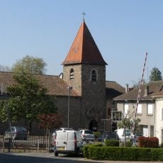
Église Saint-Pierre de Chabanais
9.9 km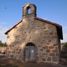
Cemetery chapel of Chirac
10.7 km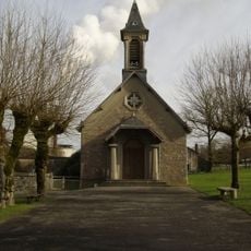
Église Notre-Dame-des-Anges de Saillat-sur-Vienne
9 km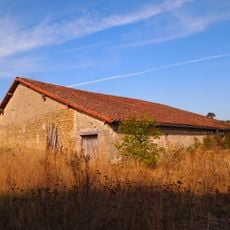
Mausolée de Brigueuil
9.7 km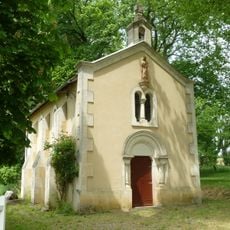
Chapelle du Rhus
3.6 km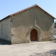
Chapelle de l'Image de Lesterps
6.8 km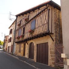
Maison à pans de bois, 24-26 rue des Buttes
11 km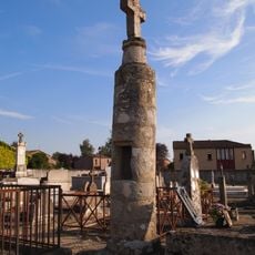
Lanterne des morts de Brigueuil
6.1 kmVisited this place? Tap the stars to rate it and share your experience / photos with the community! Try now! You can cancel it anytime.
Discover hidden gems everywhere you go!
From secret cafés to breathtaking viewpoints, skip the crowded tourist spots and find places that match your style. Our app makes it easy with voice search, smart filtering, route optimization, and insider tips from travelers worldwide. Download now for the complete mobile experience.

A unique approach to discovering new places❞
— Le Figaro
All the places worth exploring❞
— France Info
A tailor-made excursion in just a few clicks❞
— 20 Minutes