
Oppidum d'Olonzac, human settlement in France
Location: Olonzac
Address: Serre Méjean Bassanel
GPS coordinates: 43.25750,2.75560
Latest update: April 7, 2025 03:07
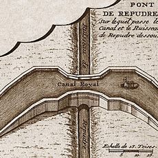
Répudre Aqueduct
6.9 km
Argent-Double Aqueduct
7.3 km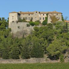
Beaufort Château
4.7 km
Église Saint-Félix de Lézignan-Corbières
6.2 km
Church of St Martin of Escales
6.1 km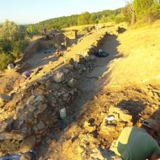
Oppidum du Cayla
8 km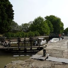
Argens Lock
2.7 km
Homps Lock
2.5 km
Pechlaurier Lock
818 m
Jouarres Aqueduct
4.9 km
Ognon Lock
1.9 km
Église Saint-Saturnin de Pouzols-Minervois
6.4 km
Écluse de Jouarres
5.6 km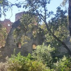
Moulin fortifié de Canet
7.6 km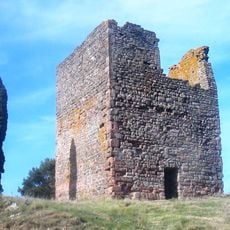
Tour romane d'Escales
6 km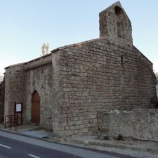
Chapelle Saint-Michel d'Homps
3.2 km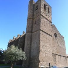
Église Saint-Étienne de Pépieux
7.5 km
Chapelle seigneuriale sur le Plô
7.6 km
Maison Cros
7.9 km
Église Saint-Laurent d'Azillanet
7.6 km
Église Saint-Martin de Beaufort
4.5 km
The nymph at the source
6.4 km
Église de l'Invention-de-Saint-Étienne d'Oupia
3.7 km
Église Sainte-Valérie de Sainte-Valière
7.2 km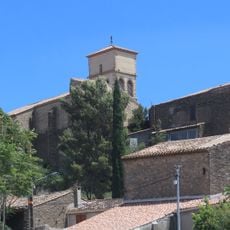
Église Notre-Dame de Tourouzelle
2.8 km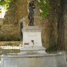
Fontaine monumentale
6.6 km
Café Plana
3.7 km
Église de l'Assomption-de-Notre-Dame d'Olonzac
3.6 kmReviews
Visited this place? Tap the stars to rate it and share your experience / photos with the community! Try now! You can cancel it anytime.
Discover hidden gems everywhere you go!
From secret cafés to breathtaking viewpoints, skip the crowded tourist spots and find places that match your style. Our app makes it easy with voice search, smart filtering, route optimization, and insider tips from travelers worldwide. Download now for the complete mobile experience.

A unique approach to discovering new places❞
— Le Figaro
All the places worth exploring❞
— France Info
A tailor-made excursion in just a few clicks❞
— 20 Minutes