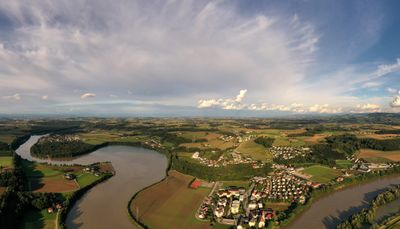
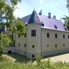
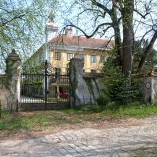
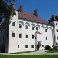
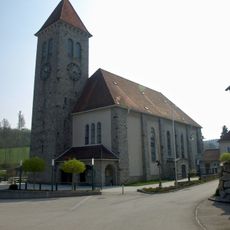
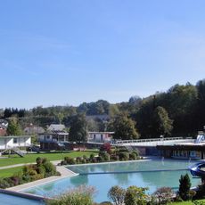
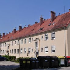
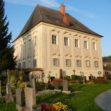
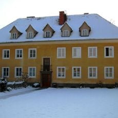
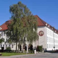
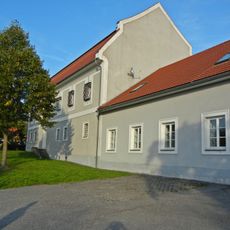
Haidershofen, municipality in Amstetten District, Lower Austria, Austria
Location: Amstetten District
Elevation above the sea: 285 m
Shares border with: Kronstorf, Ernsthofen, Haag, Weistrach, Sankt Peter in der Au, Behamberg, Steyr, Dietach
Email: gemeinde@haidershofen.gv.at
Website: http://haidershofen.gv.at
GPS coordinates: 48.07667,14.45972
Latest update: April 1, 2025 07:40
Schloss Vestenthal
2.9 km
Schlossanlage Dorf an der Enns
2.1 km
Schloss Rohrbach
8.1 km
Hügelgräberfeld Winkling
4.1 km
Schloss Ramingdorf
1.2 km
Pfarrkirche hl. Martin, Behamberg
5.5 km
Neue Pfarrkirche Münichholz
3 km
Steyr Karl Punzer-Straße 45 Alte Pfarrkirche Münichholz
3 km
Pfarrkirche Vestenthal
4.4 km
Maria Winkling
688 m
Johannes Nepomuk-Kapelle Dorf an der Enns
2 km
Adlberger-Kapelle
5.9 km
Kirchenanlage Steyr-Münichholz, Christkönig
3 km
Stadtbad, Außenbereichsbauten
3.6 km
Steyr Herta Schweiger-Straße Werksiedlung
2.5 km
Pfarrhof Haidershofen
160 m
Steyr Hans Wagner-Straße 2, 4
3 km
Steyr Karl Punzer-Straße 45a Pfarrhof
3 km
Wohnhaus
3 km
Volks- und Mittelschule Punzerstraße
2.6 km
Berufsschulzentrum
2.6 km
Pfarrhof Behamberg
5.5 km
Befestigungsanlage Staning
2.4 km
Grenzstein
4.2 km
Johannes Nepomuk Vestenthal
4.4 km
Wohnhaus
3.4 km
Schlüsselhof, ehem. Wirtschaftshof
3.7 km
Plenklberg-Schule
3.2 kmReviews
Visited this place? Tap the stars to rate it and share your experience / photos with the community! Try now! You can cancel it anytime.
Discover hidden gems everywhere you go!
From secret cafés to breathtaking viewpoints, skip the crowded tourist spots and find places that match your style. Our app makes it easy with voice search, smart filtering, route optimization, and insider tips from travelers worldwide. Download now for the complete mobile experience.
A unique approach to discovering new places❞
— Le Figaro
All the places worth exploring❞
— France Info
A tailor-made excursion in just a few clicks❞
— 20 Minutes