
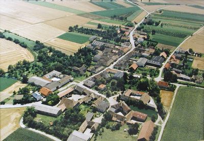
Sitzenhart, locality and cadastral municipality in Hollabrunn District
Location: Sitzendorf an der Schmida
Elevation above the sea: 297 m
GPS coordinates: 48.61137,15.97803
Latest update: March 9, 2025 05:03
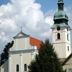
Pfarrkirche Sitzendorf
2.9 km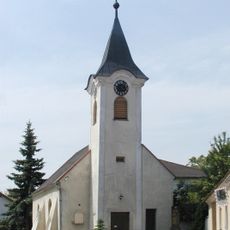
Ortskapelle Sitzenhart
145 m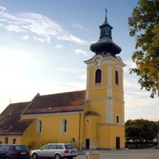
Pfarrkirche Großnondorf
2.6 km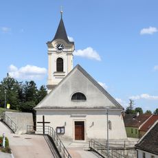
Pfarrkirche Mittergrabern
2.8 km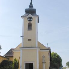
Ortskapelle Pranhartsberg
1.6 km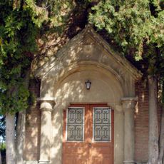
Friedhofskapelle
2.2 km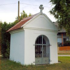
Pestkapelle Großnondorf
2.6 km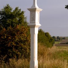
Bildstock Großnondorf, Gemeinde Guntersdorf
2.1 km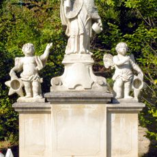
Figur heiliger Johannes Nepomuk
2.7 km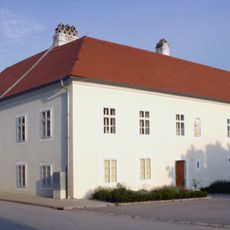
Pfarrhof Großnondorf, Gemeinde Guntersdorf
2.5 km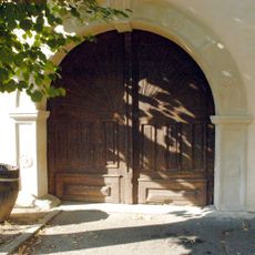
Ehemaliger herrschaftlicher Wirtschaftsbau
2.9 km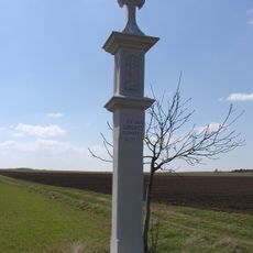
Bildstock
1.9 km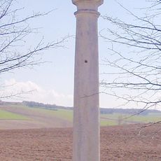
Figurenbildstock Maria Immaculata
1.6 km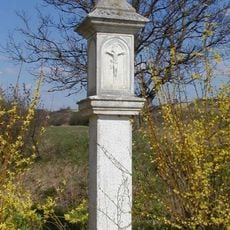
Bildstock
2.8 km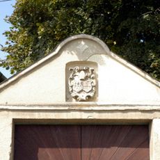
Wappenkartusche
2.7 km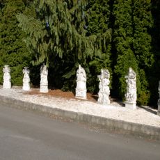
Mittergrabern Grabsteine
2.2 km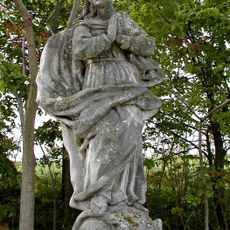
Figur Maria Immaculata
2.8 km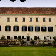
Schloss Mittergrabern
2.9 km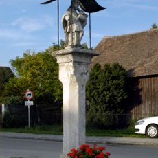
Figurenbildstock heiliger Johannes Nepomuk
2.6 km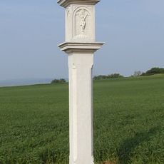
Bildstock
895 m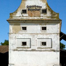
Ehemaliger Schüttkasten
2.5 km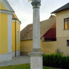
Großnondorf Gnadenstuhl
2.5 km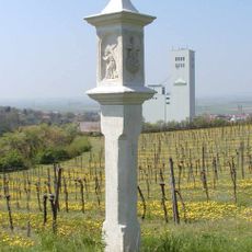
Bildstock
2.2 km
Bildstock
1.8 km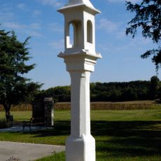
Bildstock Obergrabern, Gemeinde Grabern
1.6 km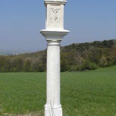
Bildstock
1.6 km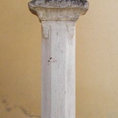
Figurenbildstock Gnadenstuhl
1.6 km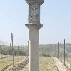
Bildstock
2.9 kmReviews
Visited this place? Tap the stars to rate it and share your experience / photos with the community! Try now! You can cancel it anytime.
Discover hidden gems everywhere you go!
From secret cafés to breathtaking viewpoints, skip the crowded tourist spots and find places that match your style. Our app makes it easy with voice search, smart filtering, route optimization, and insider tips from travelers worldwide. Download now for the complete mobile experience.

A unique approach to discovering new places❞
— Le Figaro
All the places worth exploring❞
— France Info
A tailor-made excursion in just a few clicks❞
— 20 Minutes