
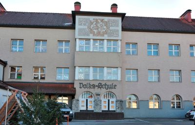
Volks- und Hauptschule, exkl. Turnsaal, building in Pettenbach, Austria
Location: Pettenbach
Address: Scharnsteiner Straße 1, 3
GPS coordinates: 47.95875,14.01605
Latest update: March 3, 2025 20:15
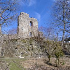
Seisenburg
4.2 km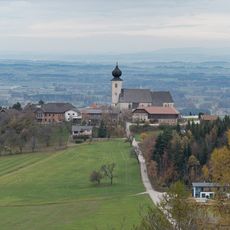
Pfarrkirche hl. Magdalena, Pettenbach
3.1 km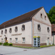
Gemeindeamt Inzersdorf im Kremstal
6 km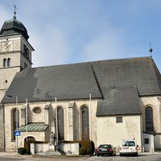
Pfarrkirche hl. Benedikt, Pettenbach
264 m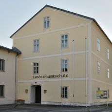
Schloss Pettenbach
245 m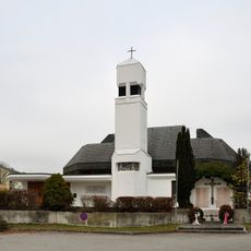
Filialkirche Inzersdorf im Kremstal
5.9 km
Burgstall Kögerl
2.8 km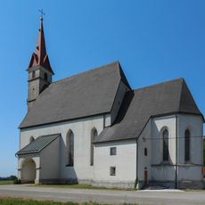
Kath. Filialkirche hl. Leonhard - Heiligenleiten, Pettenbach
1.8 km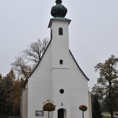
Kath. Filialkirche hl. Bartholomäus mit Friedhofsfläche
5.6 km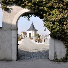
Friedhof mit Friedhofskapelle
320 m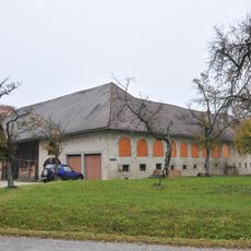
Bauernhof (Anlage), Kleines Höllnbergergut
3.2 km
Bauernhofanlage Sternberg
5.8 km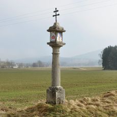
Bildstock, Zöhrböckstraßer Kreuz
833 m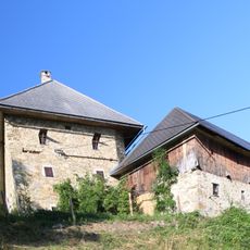
Strutzenbauer, Steinbach am Ziehberg
5.1 km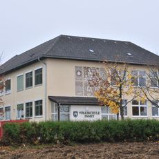
Altes Schulgebäude
4 km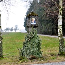
Bildstock, sog. Pestsäule
5.3 km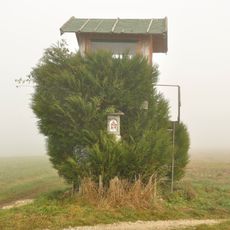
Bildstock
4.4 km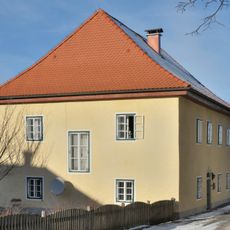
Pfarrhof
3.1 km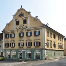
Bürgerhaus, Schmied- oder Lindinger Taverne
222 m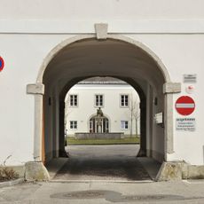
Pfarrhof
344 m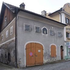
Schmiede, Schmidten-Haus
227 m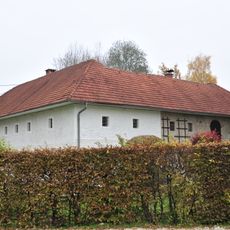
Sog. Hutterermühle
2.8 km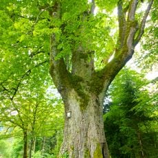
Sommerlinde am Bäckerberg
5.2 km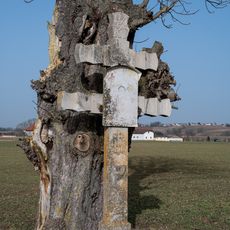
Wegkreuz Brandstatt, Pettenbach
4.6 km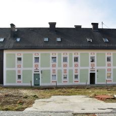
Bürgerhaus, Glasererhaus
231 m
Eibe bei der Ruine Seisenburg
4.1 km
Rotbuche am Bäckerberg
4.3 km
Kirchenbauerlinde
6 kmReviews
Visited this place? Tap the stars to rate it and share your experience / photos with the community! Try now! You can cancel it anytime.
Discover hidden gems everywhere you go!
From secret cafés to breathtaking viewpoints, skip the crowded tourist spots and find places that match your style. Our app makes it easy with voice search, smart filtering, route optimization, and insider tips from travelers worldwide. Download now for the complete mobile experience.

A unique approach to discovering new places❞
— Le Figaro
All the places worth exploring❞
— France Info
A tailor-made excursion in just a few clicks❞
— 20 Minutes