
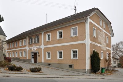
Gemeindeamt, Denkmalgeschütztes Objekt in Wartberg an der Krems (103468)
Location: Wartberg an der Krems
Address: Hauptstraße 21
GPS coordinates: 47.98926,14.11851
Latest update: March 5, 2025 10:32
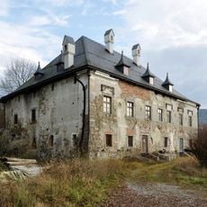
Schloss Dorff
5.2 km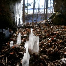
Teufelshöhle
5.1 km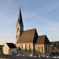
Saint Leonard Church (Nußbach, Upper Austria)
3.9 km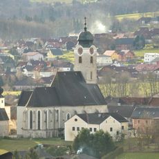
Kath. Pfarrkirche hl. Kilian, Wartberg
61 m
Kath. Pfarrkirche hl. Nikolaus, Ried im Traunkreis
5.2 km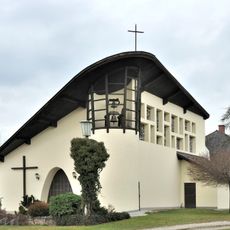
Ubald of Gubbio Church (Schlierbach, Austria)
4.3 km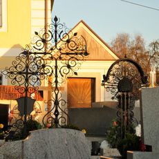
Friedhof christlich
5.2 km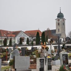
Friedhof christlich
231 m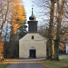
Wallfahrtskirche Maria Haslach, Ried im Traunkreis
4.6 km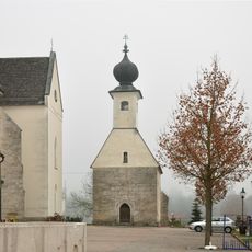
Annakapelle, Wartberg
35 m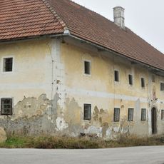
Bauernhof (Anlage), Kiliangut zu Oberndorf
4.2 km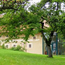
Baumgartnerhof, Oberschlierbach
5.3 km
Bauernhof (Anlage), Gasthaus Forstner
4.6 km
Bildstock
4 km
Landesmusikschule
31 m
Volksschule
5.2 km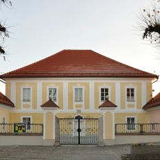
Pfarrhof
5.2 km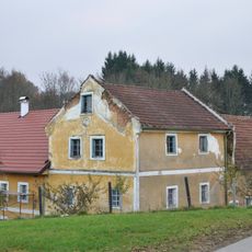
Pfarrkirchen bei Bad Hall, Sandlmühle
5.5 km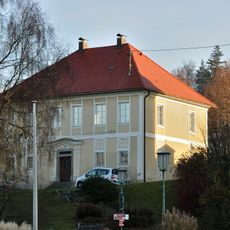
Pfarrhof
3.9 km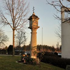
Bildstock
5.2 km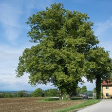
Winterlinde in der Gemeinde Nußbach
3.4 km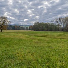
Kremsauen
2.8 km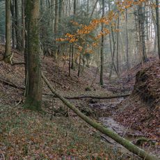
Schäffelbach
5.5 km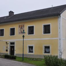
Pfarrhof
79 m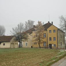
Volksschule Krühub
4.4 km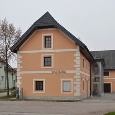
Kath. Pfarrheim
100 m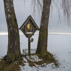
Wegkreuz Großortnergut
4.9 km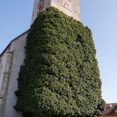
Efeustock am Kirchturm
5.2 kmReviews
Visited this place? Tap the stars to rate it and share your experience / photos with the community! Try now! You can cancel it anytime.
Discover hidden gems everywhere you go!
From secret cafés to breathtaking viewpoints, skip the crowded tourist spots and find places that match your style. Our app makes it easy with voice search, smart filtering, route optimization, and insider tips from travelers worldwide. Download now for the complete mobile experience.

A unique approach to discovering new places❞
— Le Figaro
All the places worth exploring❞
— France Info
A tailor-made excursion in just a few clicks❞
— 20 Minutes