
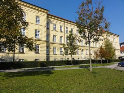
Kommunaler Wohnbau, ehem. Landwehr-Cavallerie-Kaserne, building in Wels, Austria
Location: Wels
Address: Linzer Straße 83
GPS coordinates: 48.16392,14.03492
Latest update: March 30, 2025 14:33
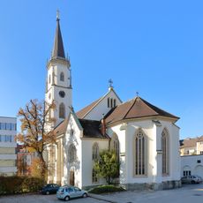
Christuskirche Wels
731 m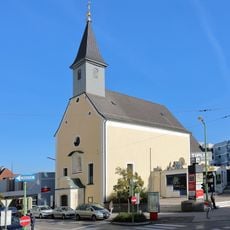
Ehem. Kapuzinerkirche, Marienkirche, Mariä Verkündigung
703 m
Schloss Eisenfeld
167 m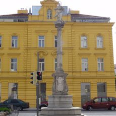
Mariensäule
746 m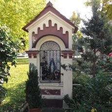
Nischenkapelle
162 m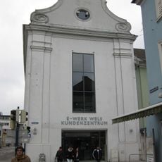
Hospital Church of St. Elisabeth
777 m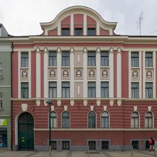
Wohn- und Geschäftshaus
790 m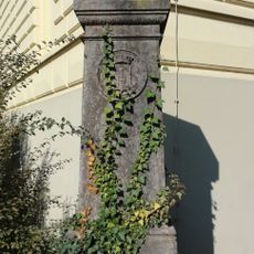
Gedenkstein
38 m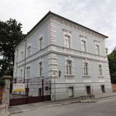
Villa, Kindergarten
247 m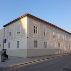
Stadtpfarrhof
841 m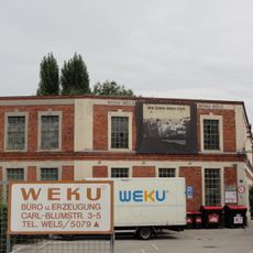
Ehem. Hutfabrik Blum
183 m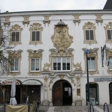
Wels Kaiser-Josef-Platz 56
834 m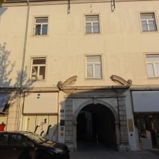
Bürgerhaus
844 m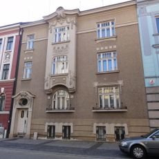
Wohn- und Geschäftshaus
787 m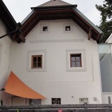
Bürgerhaus
671 m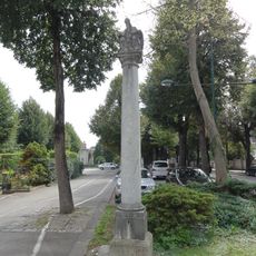
Dreifaltigkeitssäule
846 m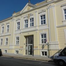
Kindergarten der Kreuzschwestern, sog. Herz-Jesu-Anstalt
797 m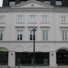
Wohn- und Geschäftshaus
819 m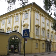
BH Wels-Land, Palais Tilly
585 m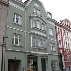
Wohn- und Geschäftshaus
793 m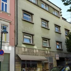
Bahnhofstraße 15
776 m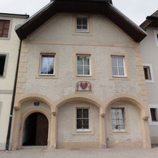
Bürgerhaus
705 m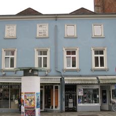
Bürgerhaus
807 m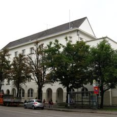
Öffentliche Volksschule 3
391 m
Bürgerhaus
695 m
Wohn- und Geschäftshaus
795 m
Bürgerhaus
683 m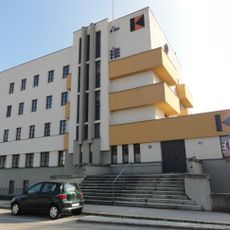
Kolpinghaus
833 mVisited this place? Tap the stars to rate it and share your experience / photos with the community! Try now! You can cancel it anytime.
Discover hidden gems everywhere you go!
From secret cafés to breathtaking viewpoints, skip the crowded tourist spots and find places that match your style. Our app makes it easy with voice search, smart filtering, route optimization, and insider tips from travelers worldwide. Download now for the complete mobile experience.

A unique approach to discovering new places❞
— Le Figaro
All the places worth exploring❞
— France Info
A tailor-made excursion in just a few clicks❞
— 20 Minutes