
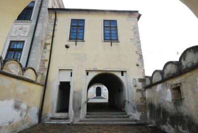
Ehemaliges Rathaus, building in Wullersdorf, Austria
Location: Wullersdorf
Inception: 1498
Address: Hauptplatz 26
GPS coordinates: 48.62724,16.10246
Latest update: March 3, 2025 21:06
Marienfeld Abbey
2.2 km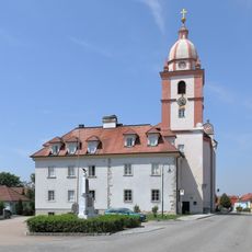
Kirche Maria Roggendorf
2.7 km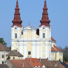
Pfarrkirche hl. Georg, Wullersdorf
42 m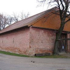
Bauernmuseum Kalladorf
2.4 km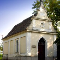
Rosaliakapelle in Wullersdorf
235 m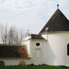
Karner in Wullersdorf
68 m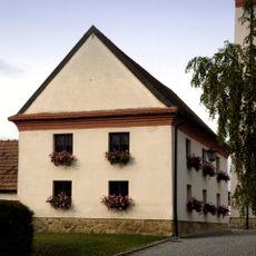
Ehem. Schüttkasten, St. Joseph-Kapelle
2.6 km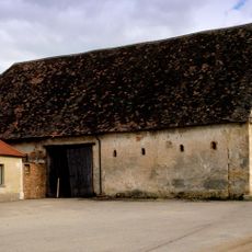
Melkerhof Wullersdorf
187 m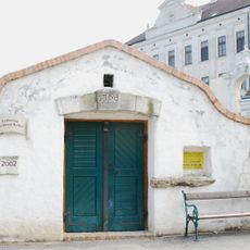
Fluchtkeller, Gemeinde Wullersdorf
43 m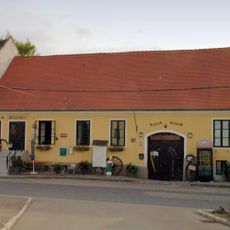
Ehemalige Taverne in Wullersdorf
59 m
Ehemalige Schule
19 m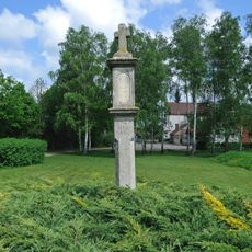
Bildstock
2.6 km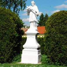
Johannes-Nepomuk-Statue
2 km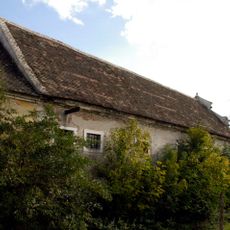
Granary in Wullersdorf
147 m
Rectory in Wullersdorf
136 m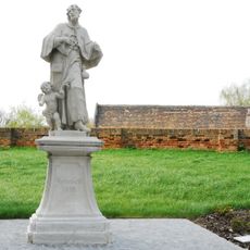
Koloman Wullersdorf
15 m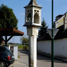
Bildstock
2.5 km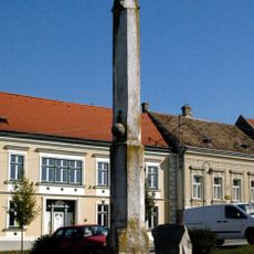
Pranger Wullersdorf
67 m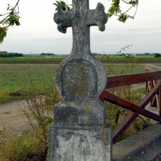
Grabstein
736 m
Figurenbildstock, Kreuzigung
142 m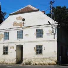
Choleraspital
108 m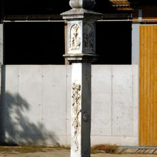
Türkenkreuz Wullersdorf
217 m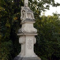
Pietà in Wullersdorf
380 m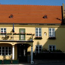
Wohnhaus Hauptplatz 39, Wullersdorf
45 m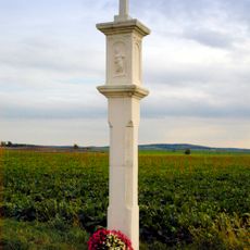
Bildstock
2.5 km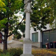
Mariensäule, Maria vom Siege
135 m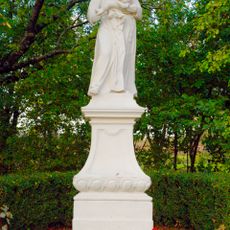
Figurenbildstock heiliger Antonius
2 km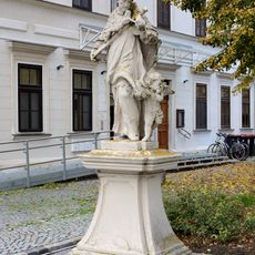
Nepomuk Wullersdorf
14 mReviews
Visited this place? Tap the stars to rate it and share your experience / photos with the community! Try now! You can cancel it anytime.
Discover hidden gems everywhere you go!
From secret cafés to breathtaking viewpoints, skip the crowded tourist spots and find places that match your style. Our app makes it easy with voice search, smart filtering, route optimization, and insider tips from travelers worldwide. Download now for the complete mobile experience.

A unique approach to discovering new places❞
— Le Figaro
All the places worth exploring❞
— France Info
A tailor-made excursion in just a few clicks❞
— 20 Minutes