
Hauszeichen, house mark at a building in Steinbrunn, Austria
Location: Steinbrunn
Address: Untere Hauptstraße 11
GPS coordinates: 47.83653,16.41537
Latest update: March 8, 2025 08:39

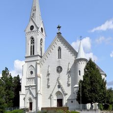
Pfarrkirche hl. Ägidius, Müllendorf
3.3 km
Pfarrkirche hl. Petrus und Paulus, Zillingtal
2.7 km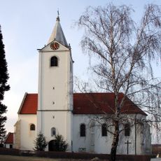
Pfarrkirche zum heiligen Kreuz, Steinbrunn
527 m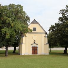
Johannes Nepomuk-Kapelle
3.5 km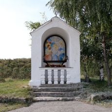
Weißes Kreuz
2.4 km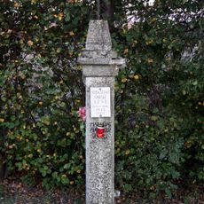
Bildstock, ehem. Sebastianspfeiler
905 m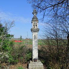
Bildstock, Pestkreuz
184 m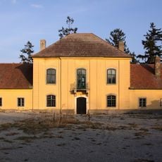
Jagdschloss Stinkenbrunn
1.5 km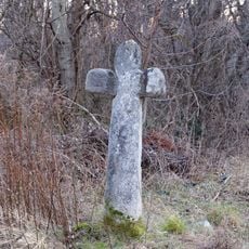
Sühnekreuz
3.1 km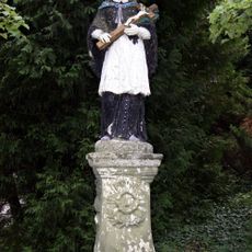
Statue of Johannes Nepomuk, Zillingtal
2.6 km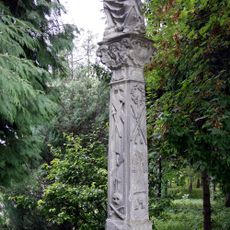
Figurenbildstock, Christus i. d. Rast
2.7 km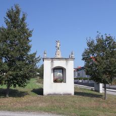
Sebastiankreuz Großhöflein
3.9 km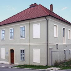
Pfarrhof, Zillingtal
2.5 km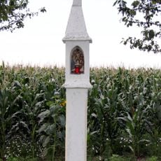
Josephikreuz, Zillingtal
3.3 km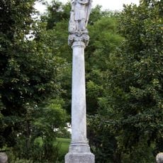
Figurenbildstock, hl. Florian
2.6 km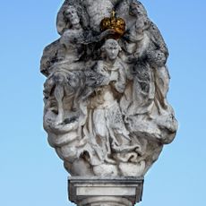
Figurenbildstock, Marienkrönung
180 m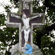
Kruzifix/Kreuz
2.7 km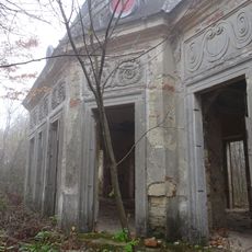
Hunting lodge at the Föllig
3.8 km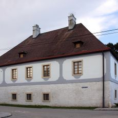
Wohnhaus, ehem. Pfarrhof
2.5 km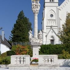
Dreifaltigkeitssäule Müllendorf
3.3 km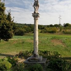
Mariensäule
3.4 km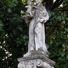
Figurenbildstock, Antonisäule
146 m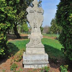
Grabstein/Grabplatte
540 m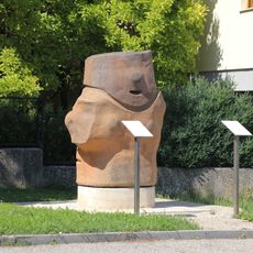
Zilli-Skulptur, Zillingtal
2.5 km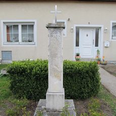
Bildstock
3.2 km
Jagdschloss Großhöflein
3.8 km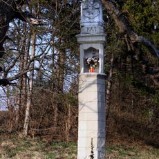
Throne of mercy in Zillingtal
2.2 km
Anlage ehem. Karner und Kalvarienberg mit Friedhofskreuz und zwei Grabsteinen
557 mReviews
Visited this place? Tap the stars to rate it and share your experience / photos with the community! Try now! You can cancel it anytime.
Discover hidden gems everywhere you go!
From secret cafés to breathtaking viewpoints, skip the crowded tourist spots and find places that match your style. Our app makes it easy with voice search, smart filtering, route optimization, and insider tips from travelers worldwide. Download now for the complete mobile experience.

A unique approach to discovering new places❞
— Le Figaro
All the places worth exploring❞
— France Info
A tailor-made excursion in just a few clicks❞
— 20 Minutes