
Flur-/Wegkapelle hl. Johannes Nepomuk, building in Wöllersdorf-Steinabrückl, Austria
Location: Wöllersdorf-Steinabrückl
GPS coordinates: 47.87061,16.20226
Latest update: March 2, 2025 22:14

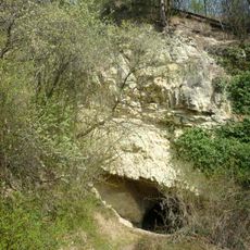
Höhlturmhöhle
2.1 km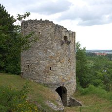
Höhlturm
2.1 km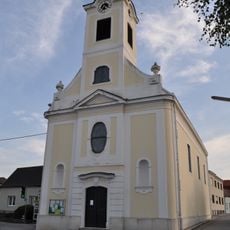
Pfarrkirche Matzendorf
2.5 km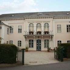
Immakulatakloster Wöllersdorf
2.3 km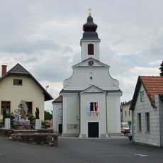
Pfarrkirche hl. Georg, Wöllersdorf
2.3 km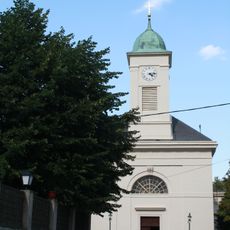
Pfarrkirche Steinabrückl
112 m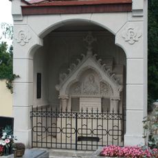
Gruftkapelle Fam. Roth
205 m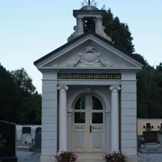
Gruftkapelle der Brüder Glanz
191 m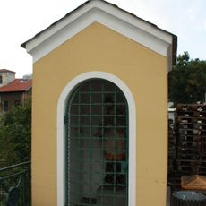
Nepomukkapelle
2.4 km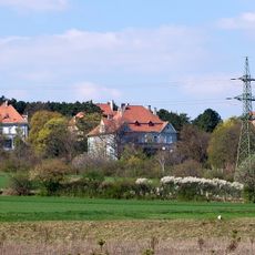
Villenkolonie, Wöllersdorf
2.5 km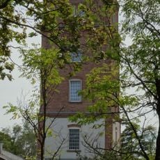
Water tower (Object 38)
2.7 km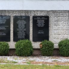
War memorial Matzendorf
2.5 km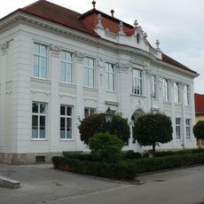
Volksschule
2.5 km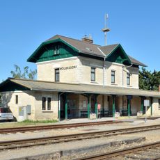
Station building and goods shed at Wöllersdorf railway station
2.1 km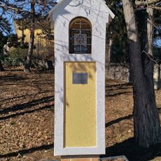
Wayside shrine
468 m
Teil der 1. Wiener Hochquellenleitung
2.2 km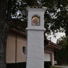
Bildstock Schießplatzstraße, Hölles
2.6 km
Teil der 1. Wiener Hochquellenleitung
1.8 km
Pfarrhof
2.5 km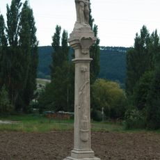
Figurenbildstock hl. Sebastian
1.9 km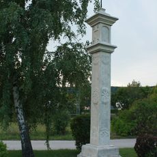
Bildstock
1.6 km
Peststein
2.5 km
Wayside shrine
2.1 km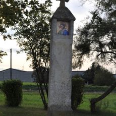
Bildstock
2.4 km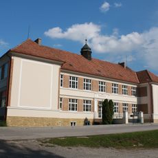
Volksschule
289 m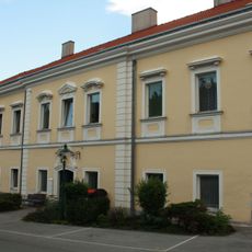
Wohnhaus
2.3 km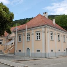
Sog. Schlössl, ehem. Herrenhaus
2.4 km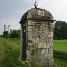
Teil der 1. Wiener Hochquellenleitung
2.5 kmReviews
Visited this place? Tap the stars to rate it and share your experience / photos with the community! Try now! You can cancel it anytime.
Discover hidden gems everywhere you go!
From secret cafés to breathtaking viewpoints, skip the crowded tourist spots and find places that match your style. Our app makes it easy with voice search, smart filtering, route optimization, and insider tips from travelers worldwide. Download now for the complete mobile experience.

A unique approach to discovering new places❞
— Le Figaro
All the places worth exploring❞
— France Info
A tailor-made excursion in just a few clicks❞
— 20 Minutes