
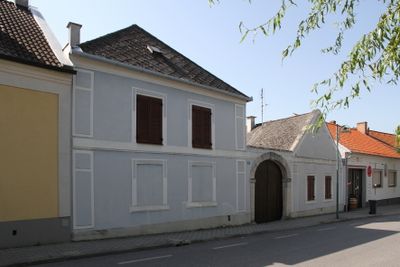
Wohnhaus, ehemaliges Bauernhaus, human settlement in Austria
Location: Jois
Address: Untere Hauptstraße 28
GPS coordinates: 47.95980,16.79375
Latest update: April 14, 2025 14:52

Weingut Leo Hillinger
957 m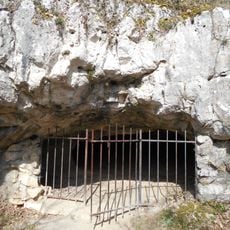
Bear Cave
3.1 km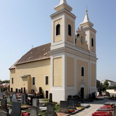
Pfarrkirche hl. Florian, Winden am See
3 km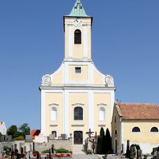
Alte Pfarrkirche hl. Georg, Jois
255 m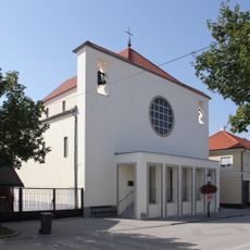
Sacred Heart Church
62 m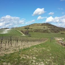
Hackelsberg
1.7 km
Brunnenhaus
1.7 km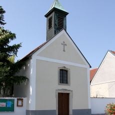
Johann-Nepomuk-Kapelle
3.2 km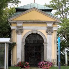
Florianikapelle
2.6 km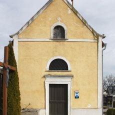
Friedhofskapelle
225 m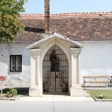
Annakapelle
3 km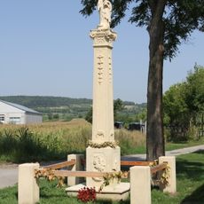
Figurenbildstock, Russenkreuz
502 m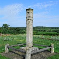
Greiner- (od. Zehetner-)Kreuz
1.8 km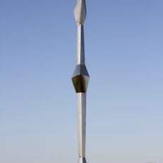
Sonnenanbeter - Stahlplastik von Wander Bertoni
2.3 km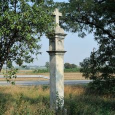
Floridankreuz, sogen. Pestsäule
1.7 km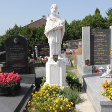
Figurenbildstock, hl. Johannes Nepomuk
198 m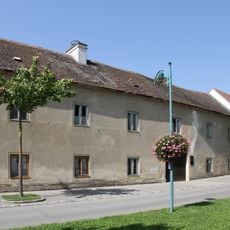
Bauernhof (Anlage), Wetschkahof, Edelhof
289 m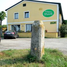
Mautsäule
1.6 km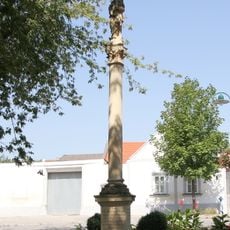
Mariensäule, Immaculatasäule
300 m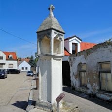
Lichtsäule
3.2 km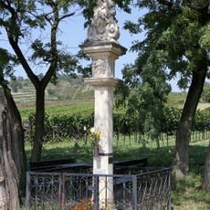
Kreuzsäule
572 m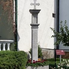
Pestkreuz
2.8 km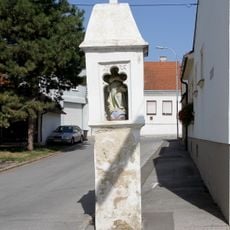
Lentsch-Kreuz
342 m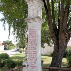
Pestkreuz
3.1 km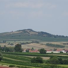
Jungerberg
1.2 km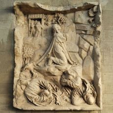
Ölbergrelief
3 km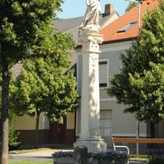
Blaues Kreuz, Immaculatasäule
3 km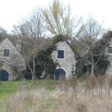
Anlage Lehmgruberkeller
2.6 kmVisited this place? Tap the stars to rate it and share your experience / photos with the community! Try now! You can cancel it anytime.
Discover hidden gems everywhere you go!
From secret cafés to breathtaking viewpoints, skip the crowded tourist spots and find places that match your style. Our app makes it easy with voice search, smart filtering, route optimization, and insider tips from travelers worldwide. Download now for the complete mobile experience.

A unique approach to discovering new places❞
— Le Figaro
All the places worth exploring❞
— France Info
A tailor-made excursion in just a few clicks❞
— 20 Minutes