
Bauernhaus vulgo Hödl, human settlement in Austria
Location: Mettersdorf am Saßbach
Address: Rannersdorf 4
GPS coordinates: 46.79729,15.70673
Latest update: March 3, 2025 17:33

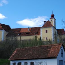
Schloss Weinburg am Saßbach
4.8 km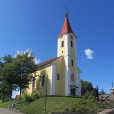
Kath. Pfarrkirche Hl. Herz-Jesu
919 m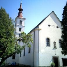
Pfarrkirche Sankt Peter am Ottersbach
4 km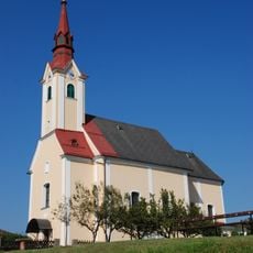
Kath. Pfarrkirche hl. Nikolaus
4 km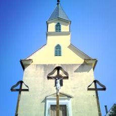
Kalvarienberg, St. Peter am Ottersbach
4.6 km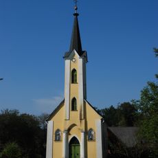
Ortskapelle
5.6 km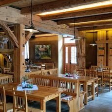
Ottersbachmühle
5 km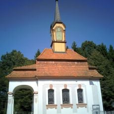
Friedhofskapelle
3.6 km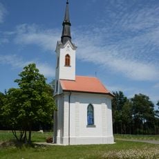
Kapelle Maria Trost im Elend
3.9 km
Ortskapelle
5.4 km
Ortskapelle
4.7 km
Ortskapelle Maria Hilf
5.5 km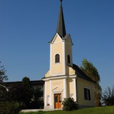
Ortskapelle Rothüttl
5.2 km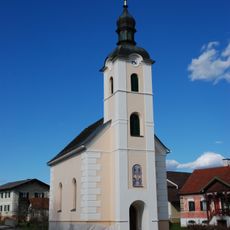
Ortskapelle Rannersdorf, hl. Maria
48 m
Figurenbildstock
4 km
Pestsäule Perbersdorf bei St. Veit
4.8 km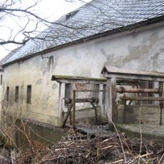
Industriemühle, Sixt-Mühle
5 km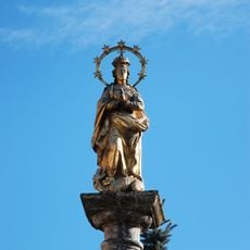
Mariensäule
5.1 km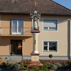
Figurenbildstock
3.9 km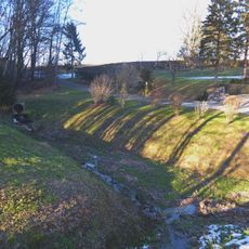
Rückhaltebecken Rohrbach
1.5 km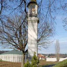
Bildstock Pestkreuz
3.7 km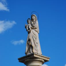
Mariensäule
5 km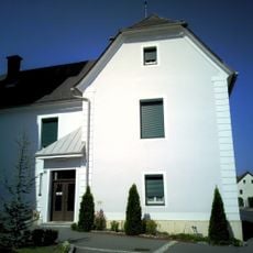
Pfarrhof
4 km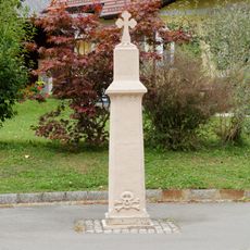
Bildstock
1.2 km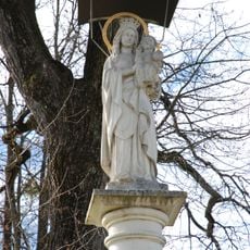
Mariensäule
1 km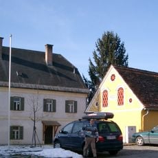
Ehem. Pfarrhof und Wirtschaftsgebäude
4 km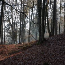
Barrow cemetery Silberberg
4.5 km
Barrow cemetery Haintbrunnholz
3.5 kmReviews
Visited this place? Tap the stars to rate it and share your experience / photos with the community! Try now! You can cancel it anytime.
Discover hidden gems everywhere you go!
From secret cafés to breathtaking viewpoints, skip the crowded tourist spots and find places that match your style. Our app makes it easy with voice search, smart filtering, route optimization, and insider tips from travelers worldwide. Download now for the complete mobile experience.

A unique approach to discovering new places❞
— Le Figaro
All the places worth exploring❞
— France Info
A tailor-made excursion in just a few clicks❞
— 20 Minutes