
Göriach, human settlement in Lienz District
Location: Schlaiten
Elevation above the sea: 1,155 m
GPS coordinates: 46.88638,12.63658
Latest update: March 3, 2025 02:18
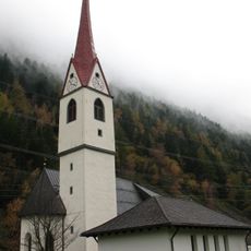
Pfarrkirche hl. Johannes der Täufer (St. Johann im Walde)
1.9 km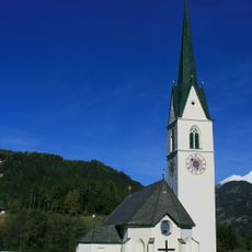
Saint Paul Church
1.7 km
Gonzach
2.3 km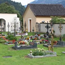
Friedhof
1.6 km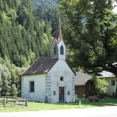
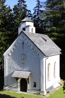
Kapelle zu den Sieben Schmerzen Mariens
2 km
Saints Chrysanthus and Daria Church (Schlaiten)
236 m
Kriegergedächtniskapelle zu Unserer Lieben Frau Mariae Schmerzen
2.2 km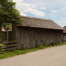
Holzlege Gantschnig
2 km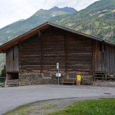
Wirtschaftsgebäude Mesnerstadl
1.8 km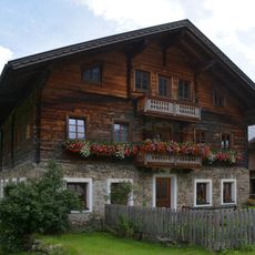
Bauernhaus Rösch
2.1 km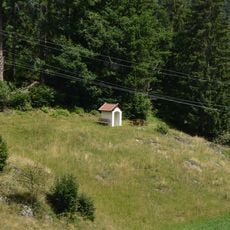
Herz-Jesu-Bildstock Gantschach
1.3 km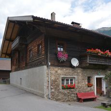
Bauernhaus Gantschnig
2.1 km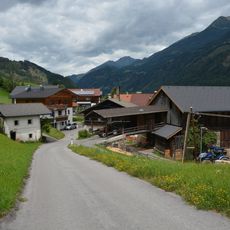
Wirtschaftsgebäude Zenzer
2.1 km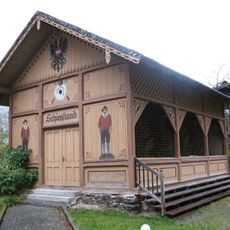
Schießstand
2 km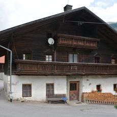
Bauernhaus Zenzer
2.1 km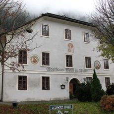
Ehem. Gasthof Moar im Walde
1.9 km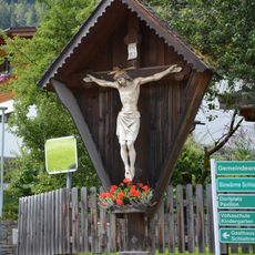
Wegkreuz
1.8 km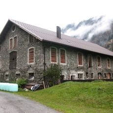
St. Johann im Walde, Wirtschaftsgebäude
1.9 km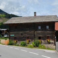
Bauernhaus Jörl
1.7 km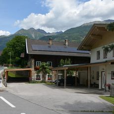
Bauernhaus Anderler
1.1 km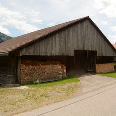
Wirtschaftsgebäude Gantschnig
2 km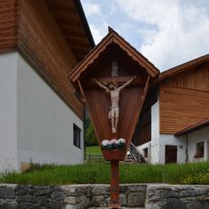
Wegkreuz Zenzer
2.1 km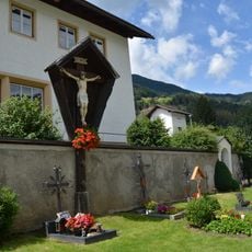
Friedhofskreuz Schlaiten
1.7 km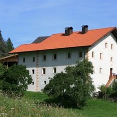
Wohnhaus des Paarhofes Gridling, ehem. Knappenhaus
76 m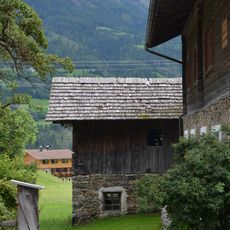
Austraghaus Gantschnig
2.1 km
Gantschnigbildstock
2 km
Wegkreuz in Schlaiten
2 km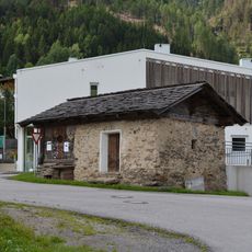
Schneiderkasten Schlaiten
1.8 kmReviews
Visited this place? Tap the stars to rate it and share your experience / photos with the community! Try now! You can cancel it anytime.
Discover hidden gems everywhere you go!
From secret cafés to breathtaking viewpoints, skip the crowded tourist spots and find places that match your style. Our app makes it easy with voice search, smart filtering, route optimization, and insider tips from travelers worldwide. Download now for the complete mobile experience.

A unique approach to discovering new places❞
— Le Figaro
All the places worth exploring❞
— France Info
A tailor-made excursion in just a few clicks❞
— 20 Minutes