
Bildsäule Hochwasser 1965/66 in Nikolsdorf, Denkmal in Nikolsdorf, Osttirol
Location: Nikolsdorf
Inception: 1970
GPS coordinates: 46.79117,12.89755
Latest update: March 13, 2025 14:51

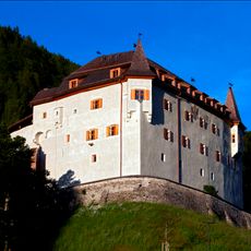
Lengberg Castle
778 m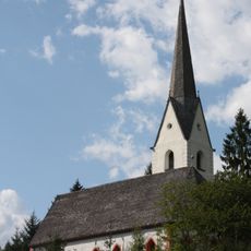
Wallfahrtskirche St. Chrysanthen
2.5 km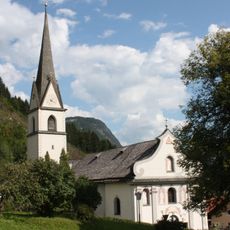
Nikolsdorf, Kath. Pfarrkirche hl. Bartholomäus
1 km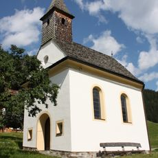
Lengberg, Kapelle Mariae Heimsuchung
1.1 km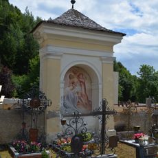
Nischenbildstock mit Fresko Kreuzabnahme
1.1 km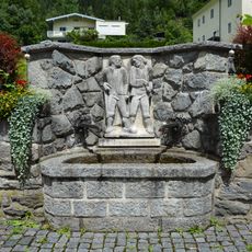
Laufbrunnen mit Kunstrelief
999 m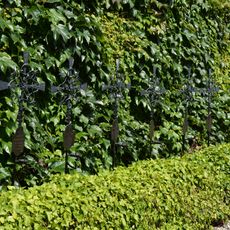
Kriegerdenkmal 2. Weltkrieg Nikolsdorf
1 km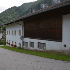
Einhof Eder
2.7 km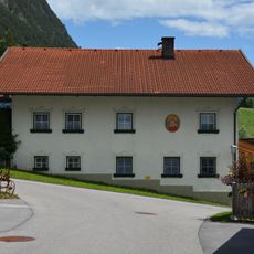
Wohnhaus Binter
2.6 km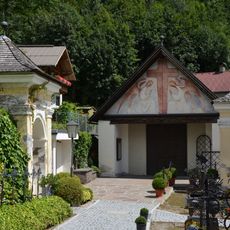
Friedhofskapelle Nikolsdorf
1.1 km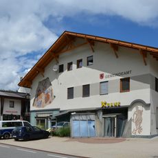
Gemeindeamt Nikolsdorf
896 m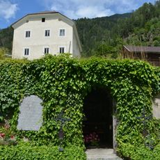
Lourdesgrotte Nikolsdorf
1 km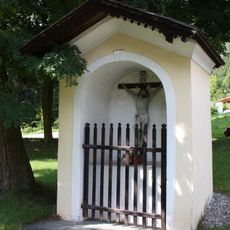
Zeiner-Stöckl
749 m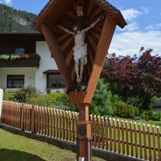
Wegkreuz Plautz
2.6 km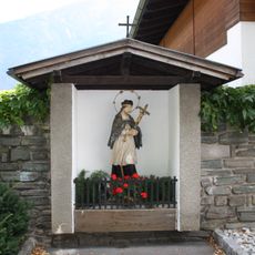
Bildstock hl. Joh. Nepomuk
973 m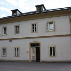
Alte Volksschule
1 km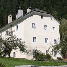
Widum
1 km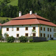
Getzenhof
822 m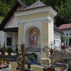
Nischenbildstock mit Fresko Jesus begegnet seiner Mutter
1.1 km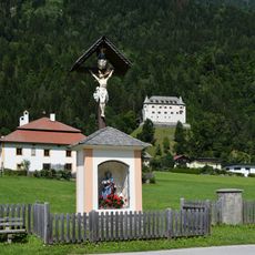
Ledererstöckl
816 m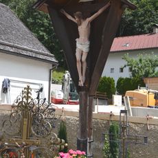
Friedhofskreuz Nikolsdorf
1.1 km
Bachler-Mühle
968 m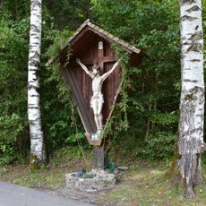
Wegkreuz Chrysantenbach
2.3 km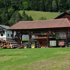
Ledererharpfe
905 m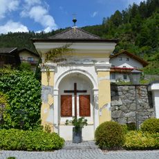
Kriegerdenkmal 1. Weltkrieg Nikolsdorf
1.1 km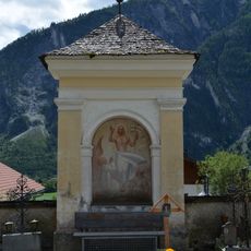
Nischenbildstock mit Fresko Auferstehung
1.1 km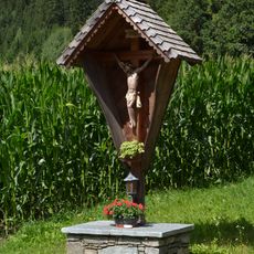
Wegkreuz am Zappernitzbach
240 m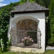
Steinwenderstöckl
1.4 kmVisited this place? Tap the stars to rate it and share your experience / photos with the community! Try now! You can cancel it anytime.
Discover hidden gems everywhere you go!
From secret cafés to breathtaking viewpoints, skip the crowded tourist spots and find places that match your style. Our app makes it easy with voice search, smart filtering, route optimization, and insider tips from travelers worldwide. Download now for the complete mobile experience.

A unique approach to discovering new places❞
— Le Figaro
All the places worth exploring❞
— France Info
A tailor-made excursion in just a few clicks❞
— 20 Minutes