
Blanc-Sablon, municipality in Quebec, Canada
Location: Le Golfe-du-Saint-Laurent Regional County Municipality
Inception: January 1, 1990
Elevation above the sea: 2 m
Shares border with: L'Anse-au-Clair
GPS coordinates: 51.41339,-57.20181
Latest update: March 11, 2025 12:51

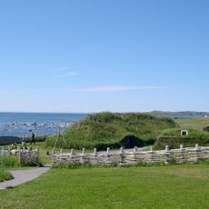
L'Anse aux Meadows
117.5 km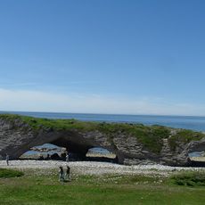
The Arches Provincial Park
148.3 km
Port au Choix
79 km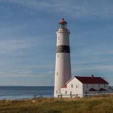
Point Amour Lighthouse
24.4 km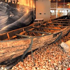
Red Bay National Historic Site
64.2 km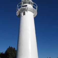
Belle Isle Northeast Light
148.1 km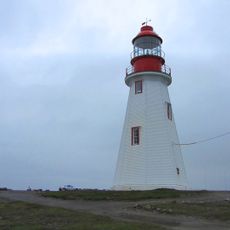
Point Riche Lighthouse
80.9 km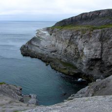
Burnt Cape Ecological Reserve
102.5 km
L'Anse Amour archeological site
24 km
St. Lewis Inlet
136 km
Sandy Cove Ecological Reserve
36.8 km
Hare Bay Islands Ecological Reserve
88.4 km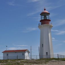
New Ferrolle Peninsula light
44.1 km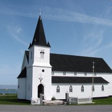
St. Barnabas Anglican Church
34.3 km
East Side Interdenominational Cemetery
113.6 km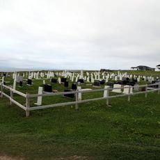
Old Anglican Cemetery
34.3 km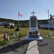
War Memorial
112.7 km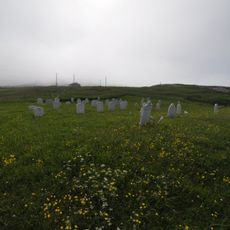
Old Anglican Cemetery
171.5 km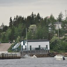
Grenfell Shed and Wharf
137.1 km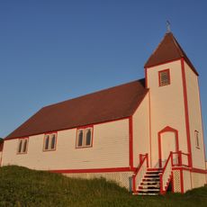
St. James Anglican Church
146.7 km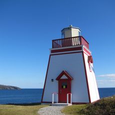
Fox Point Lighthouse
114.6 km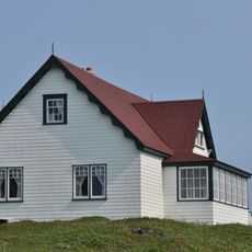
Grenfell Cottage
146.7 km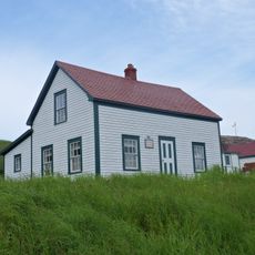
Isaac Smith House
146.7 km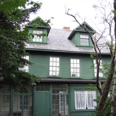
Grenfell House
112.3 km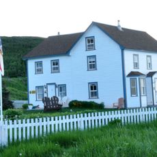
Adams Home
111.3 km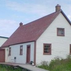
Bunkhouse/Cookhouse
146.8 km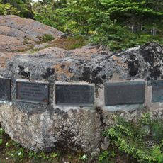
The Grenfell Plaques
112.3 km
Site archéologique de l'Île-au-Bois
5.1 kmVisited this place? Tap the stars to rate it and share your experience / photos with the community! Try now! You can cancel it anytime.
Discover hidden gems everywhere you go!
From secret cafés to breathtaking viewpoints, skip the crowded tourist spots and find places that match your style. Our app makes it easy with voice search, smart filtering, route optimization, and insider tips from travelers worldwide. Download now for the complete mobile experience.

A unique approach to discovering new places❞
— Le Figaro
All the places worth exploring❞
— France Info
A tailor-made excursion in just a few clicks❞
— 20 Minutes