
Bolton-Est, municipality in Quebec
Location: Memphrémagog
Inception: December 28, 1876
Shares border with: Saint-Étienne-de-Bolton
Website: http://boltonest.ca
GPS coordinates: 45.20000,-72.35000
Latest update: March 6, 2025 02:45
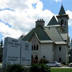
Saint Benedict Abbey
7.2 km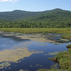
Mont-Orford National Park
19.9 km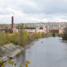
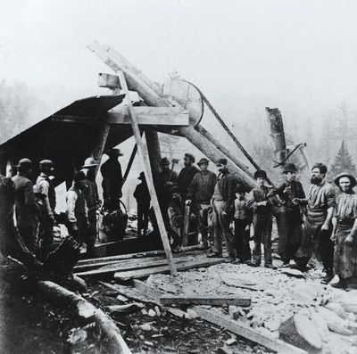
Magog Textile Mill
17.8 km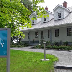
Maison Merry
16.9 km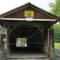
Pont Narrows
16.8 km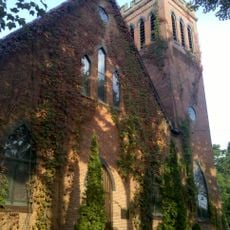
Église Saint-Luke de Waterloo
20.7 km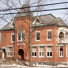
Pettes Memorial Library
12.7 km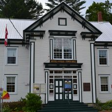
Bolton-Est Town Hall
592 m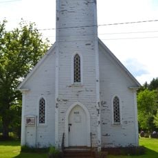
Église Holy Trinity de South Bolton
5.1 km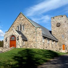
Église anglicane Saint-Paul
10.2 km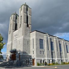
Église Sainte-Marguerite-Marie
18.1 km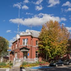
Noyau institutionnel de Knowlton
12.6 km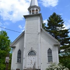
Église Methodist United
519 m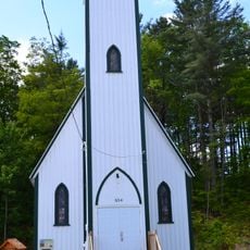
Église Saint-Patrick de Bolton Centre
593 m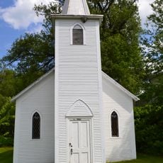
Église Saint-Andrew de The Pass
8 km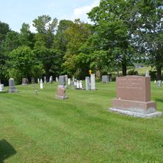
Cimetière Blunt
9.8 km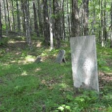
Cimetière Fuller
8.3 km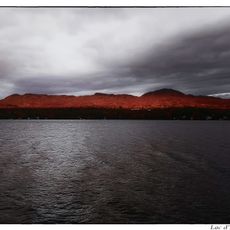
Lac d'Argent
12.6 km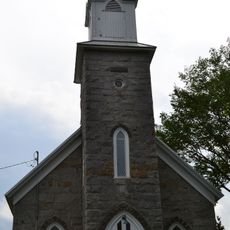
Église Saint-Matthew de Stukely-Sud
14.3 km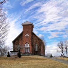
St. Paul's United Church
20.7 km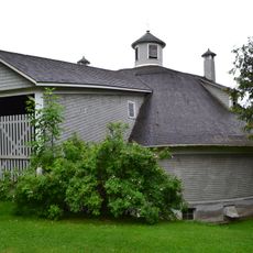
Grange circulaire Damase-Amédée-Dufresne
7.8 km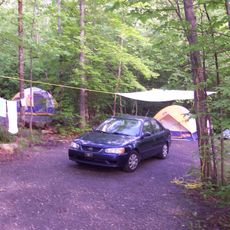
Camping du Lac-Stukely
19.9 km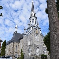
Ensemble institutionnel de Saint-Patrice
17 km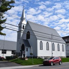
Ensemble institutionnel de Saint-Luke
17.2 km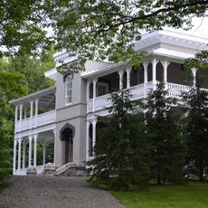
Manoir Maplewood
20.2 km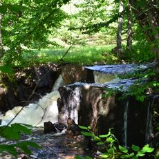
Complexe des moulins d'Austin
4.8 km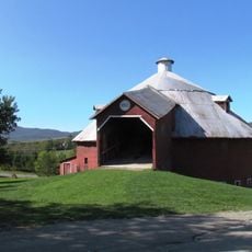
Grange ronde de Mansonville
16.7 km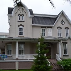
Presbytère de Saint-Bernardin
20.7 kmVisited this place? Tap the stars to rate it and share your experience / photos with the community! Try now! You can cancel it anytime.
Discover hidden gems everywhere you go!
From secret cafés to breathtaking viewpoints, skip the crowded tourist spots and find places that match your style. Our app makes it easy with voice search, smart filtering, route optimization, and insider tips from travelers worldwide. Download now for the complete mobile experience.

A unique approach to discovering new places❞
— Le Figaro
All the places worth exploring❞
— France Info
A tailor-made excursion in just a few clicks❞
— 20 Minutes