
Sainte-Anne-de-la-Pérade, municipality in Mauricie, Quebec, Canada
Location: Les Chenaux Regional County Municipality
Inception: May 10, 1989
Shares border with: Saint-Adelphe, Saint-Ubalde, Batiscan, Deschambault-Grondines, Saint-Casimir, Sainte-Geneviève-de-Batiscan, Saint-Prosper-de-Champlain, Saint-Pierre-les-Becquets
Website: https://sadlp.ca
GPS coordinates: 46.58330,-72.20000
Latest update: March 4, 2025 15:14

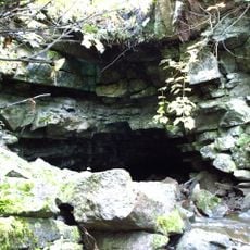
Trou du Diable
13.5 km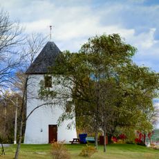
Moulin à vent de Grondines
12.4 km
Église Sainte-Geneviève-de-Batiscan
12.2 km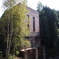
Centrale hydroélectrique de Saint-Alban
16.4 km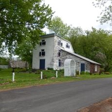
Saint-Anne Seignorial Estate
1.9 km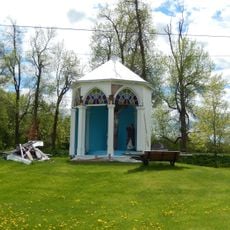
Lacoursière Calvary
7.5 km
Sainte-Élisabeth Parish
12.2 km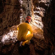
Grotte aux Cascatelles
16.7 km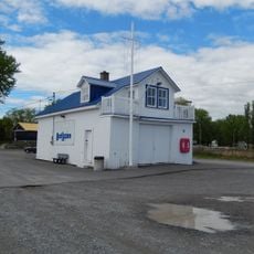
Office of the signals
9.9 km
Grondines
12.1 km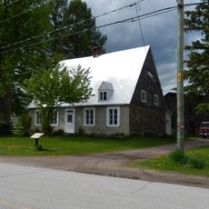
Maison Rivard-Dit-Lanouette
1.7 km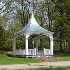
Calvaire de la Rivière-à-Veillet
12.2 km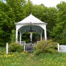
Calvaire du Bas de Sainte-Anne
4.7 km
Édifice des Chevaliers de Colomb
9.6 km
Saint-Charles-Borromée Church
12.1 km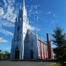
Église Sainte-Emmélie
15.3 km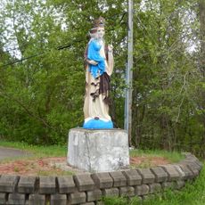
Statue de la Montée d'Enseigne
987 m
Centre des Roches
12.1 km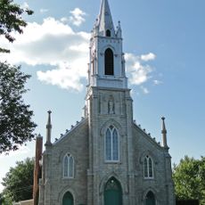
Saint-François-Xavier Church
10.5 km
Monument du Sacré-Cœur
16 km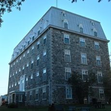
Vieux couvent de Saint-Casimir
9.3 km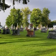
Site patrimonial de l'Église-Saint-François-Xavier-de-Batiscan
10.6 km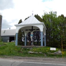
Calvaire du Rapide Nord
4.7 km
Mausolée Adélard-Vézina
16.1 km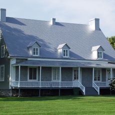
Presbytère de Saint-Charles-des-Grondines
12.2 km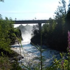
François-Naud Bridge
16.8 km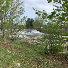
Chute à Goulet
16.4 km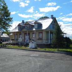
Presbytère de Sainte-Emmélie
15.3 kmReviews
Visited this place? Tap the stars to rate it and share your experience / photos with the community! Try now! You can cancel it anytime.
Discover hidden gems everywhere you go!
From secret cafés to breathtaking viewpoints, skip the crowded tourist spots and find places that match your style. Our app makes it easy with voice search, smart filtering, route optimization, and insider tips from travelers worldwide. Download now for the complete mobile experience.

A unique approach to discovering new places❞
— Le Figaro
All the places worth exploring❞
— France Info
A tailor-made excursion in just a few clicks❞
— 20 Minutes