
Sainte-Aurélie, municipality in Quebec, Canada
Location: Les Etchemins
Inception: April 3, 1909
Website: http://www.ste-aurelie.qc.ca
Shares border with: Saint-Louis-de-Gonzague, Saint-Zacharie
Website: http://ste-aurelie.qc.ca
GPS coordinates: 46.18330,-70.36670
Latest update: March 29, 2025 15:15
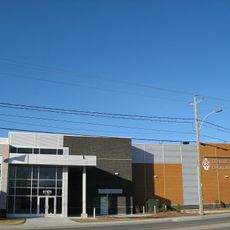
Centre Sportif Lacroix-Dutil
25.1 km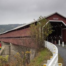
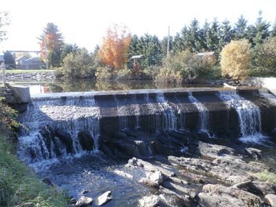
Pont Perrault
27 km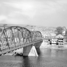
Pont David-Roy
24.8 km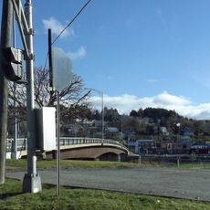
Pont Joseph-Édouard Fortin
31.7 km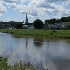
Saint-François-Ouest
32 km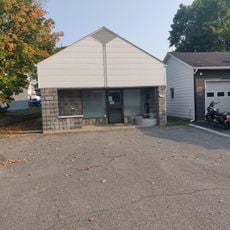
Saint-Victor Telephone Exchange
41.7 km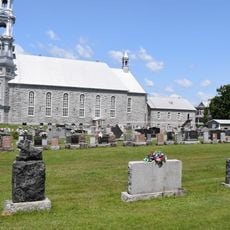
Saint-Victor cemetery
41.7 km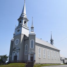
Église Saint-Martin
33.4 km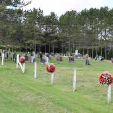
Deuxième cimetière de Saint-Léon-de-Standon
38 km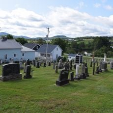
Premier cimetière de Saint-Léon-de-Standon
38.1 km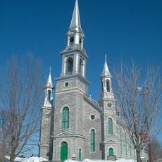
Église Saint-Victor
41.7 km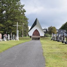
Troisième cimetière de Saint-Léon-de-Standon
38.8 km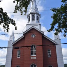
Église Saint-Léon de Saint-Léon-de-Standon
38.1 km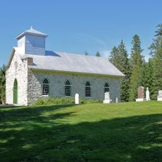
Site de la chapelle Saint-Paul, du cimetière et du manoir Taylor
19.9 km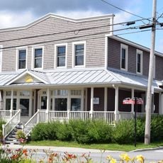
Ancien magasin général Henri-Louis-Poulin
36.6 km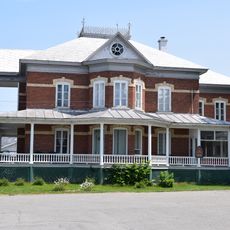
Presbytère de Saint-Victor
41.7 km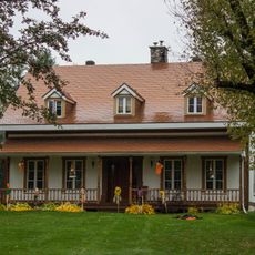
Manoir William-Milburn-Pozer
25.6 km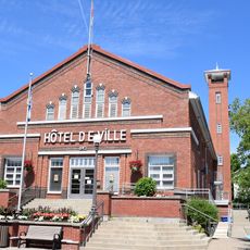
Hôtel de ville de Saint-Joseph-de-Beauce
41.8 km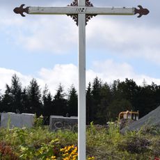
Croix de chemin du Rang-Saint-François
37.8 km
Saint-François-d'Assise
31.9 km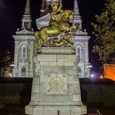
Socle de la Statue-Équestre-de-Saint-Georges
24.7 km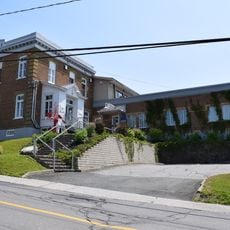
Édifice du Sénateur-Bolduc
31.3 km
Presbytère de Saint-Martin
33.5 km
Ancien presbytère de Saint-Léon-de-Standon
38.2 km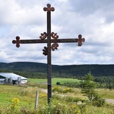
Croix de chemin du Rang-Sainte-Anne
39 km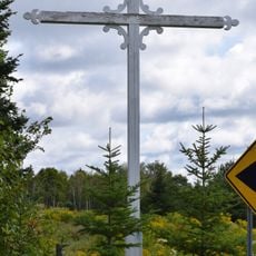
Croix de chemin du Rang-Saint-Guillaume
37.6 km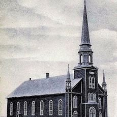
Église Sainte-Sabine
34.4 km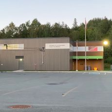
Beauceville Armoury
27.8 kmReviews
Visited this place? Tap the stars to rate it and share your experience / photos with the community! Try now! You can cancel it anytime.
Discover hidden gems everywhere you go!
From secret cafés to breathtaking viewpoints, skip the crowded tourist spots and find places that match your style. Our app makes it easy with voice search, smart filtering, route optimization, and insider tips from travelers worldwide. Download now for the complete mobile experience.

A unique approach to discovering new places❞
— Le Figaro
All the places worth exploring❞
— France Info
A tailor-made excursion in just a few clicks❞
— 20 Minutes