
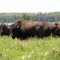
Manipogo Provincial Park, provincial park in Manitoba
Location: Lakeshore
Location: Manitoba
Inception: June 19, 1961
Part of: Parkland Region
Website: https://gov.mb.ca/sd/parks/park-maps-and-locations/western/manipogo.html
GPS coordinates: 51.51667,-99.54972
Latest update: April 24, 2025 10:12
Riding Mountain National Park
80.2 km
Duck Mountain Provincial Park
95.8 km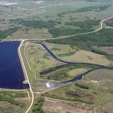
Shellmouth Reservoir
142.7 km
Asessippi Provincial Park
141.5 km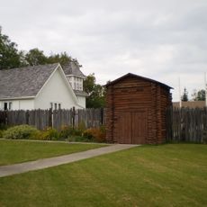
Fort Dauphin
30.1 km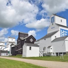
Inglis Grain Elevators National Historic Site
134.5 km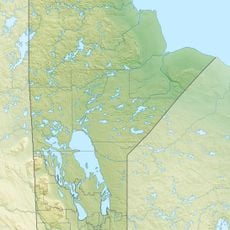
Riding Mountain Biosphere Reserve
126.9 km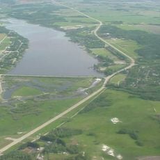
Minnedosa Lake
140.6 km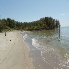
Lundar Beach Provincial Park
125.5 km
Sturgeon Bay Provincial Park
123.9 km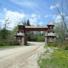
Riding Mountain Park East Gate Registration Complex
92.8 km
Alonsa Wildlife Management Area
66.8 km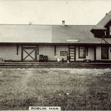
Roblin railway station
129.2 km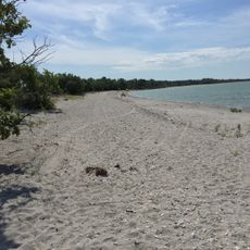
Watchorn Provincial Park
73.6 km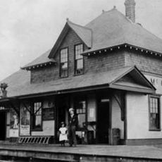
McCreary railway station
82.8 km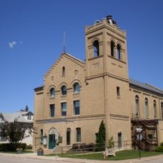
Dauphin Town Hall
53.6 km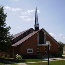
Dauphin First Baptist Church
53.2 km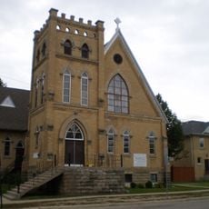
Dauphin, St. Paul's Anglican Church
54.1 km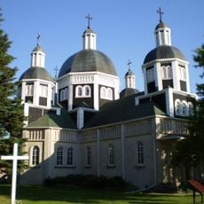
Ukrainian Catholic Church of the Resurrection
54.9 km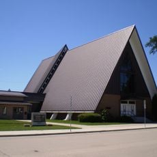
Dauphin First United Church
53.5 km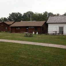
Fort Dauphin Museum
54.1 km
Wasagaming Tennis Clubhouse
100 km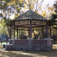
Wasagaming Bandstand
100 km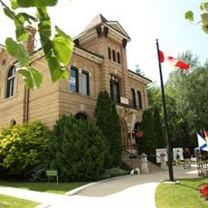
Neepawa Courthouse
143.5 km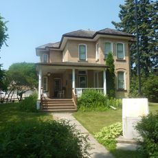
Margaret Laurence House
143.1 km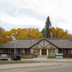
Wasagaming park administration building
100 km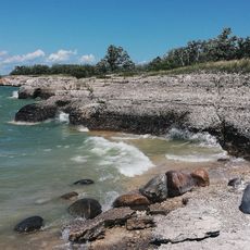
Steep Rock Cliffs
52.3 km
Casa Loma
99.8 kmReviews
Visited this place? Tap the stars to rate it and share your experience / photos with the community! Try now! You can cancel it anytime.
Discover hidden gems everywhere you go!
From secret cafés to breathtaking viewpoints, skip the crowded tourist spots and find places that match your style. Our app makes it easy with voice search, smart filtering, route optimization, and insider tips from travelers worldwide. Download now for the complete mobile experience.

A unique approach to discovering new places❞
— Le Figaro
All the places worth exploring❞
— France Info
A tailor-made excursion in just a few clicks❞
— 20 Minutes