
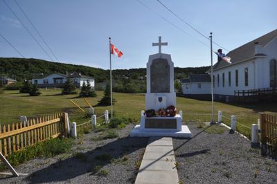
War Memorial, war memorial in St. Anthony, Newfoundland and Labrador
Location: St. Anthony
Address: 296 West Street
GPS coordinates: 51.36067,-55.58183
Latest update: March 17, 2025 12:41
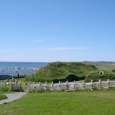
L'Anse aux Meadows
26.4 km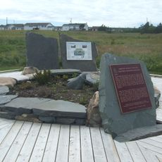
Port au Choix
144.8 km
Point Amour Lighthouse
89.3 km
Red Bay National Historic Site
71.8 km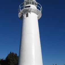
Belle Isle Northeast Light
75.2 km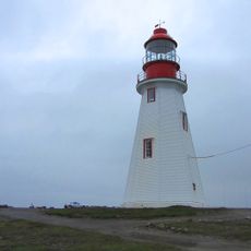
Point Riche Lighthouse
147.7 km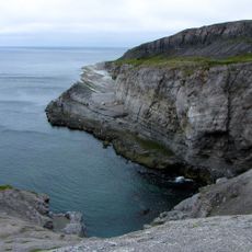
Burnt Cape Ecological Reserve
26.2 km
L'Anse Amour archeological site
90.3 km
St. Lewis Inlet
117.1 km
Sandy Cove Ecological Reserve
76.7 km
Hare Bay Islands Ecological Reserve
28.4 km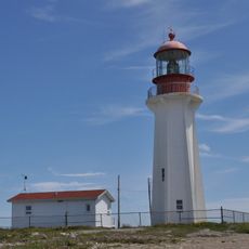
New Ferrolle Peninsula light
112.1 km
East Side Interdenominational Cemetery
966 m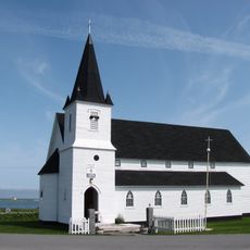
St. Barnabas Anglican Church
81 km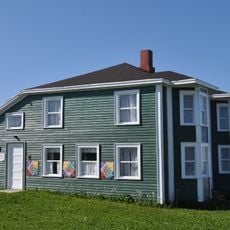
Nurse Myra Bennett House
188.4 km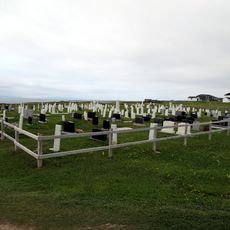
Old Anglican Cemetery
85.9 km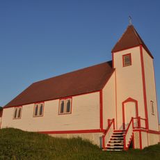
St. James Anglican Church
101.5 km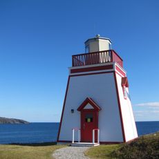
Fox Point Lighthouse
1.9 km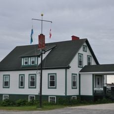
Louie A. Hall Nursing Station
96.3 km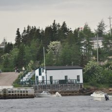
Grenfell Shed and Wharf
107.3 km
Grenfell Cottage
101.7 km
Isaac Smith House
101.5 km
Bunkhouse/Cookhouse
101.7 km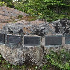
The Grenfell Plaques
452 m
Blanc-Sablon
108.7 km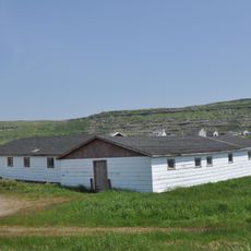
Site patrimonial de Room's Point
108.3 km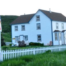
Adams Home
27.9 km
Site archéologique de l'Île-au-Bois
108.3 kmVisited this place? Tap the stars to rate it and share your experience / photos with the community! Try now! You can cancel it anytime.
Discover hidden gems everywhere you go!
From secret cafés to breathtaking viewpoints, skip the crowded tourist spots and find places that match your style. Our app makes it easy with voice search, smart filtering, route optimization, and insider tips from travelers worldwide. Download now for the complete mobile experience.

A unique approach to discovering new places❞
— Le Figaro
All the places worth exploring❞
— France Info
A tailor-made excursion in just a few clicks❞
— 20 Minutes