
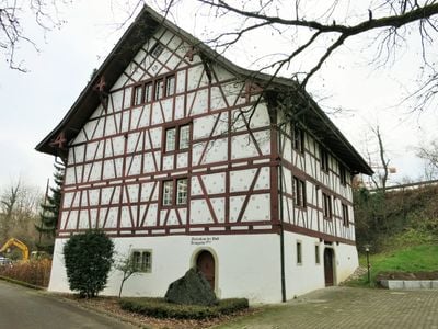
Former infirmary, timber-framed house in Bremgarten in the canton of Aargau, Switzerland
Location: Bremgarten
Part of: list of cultural properties in Bremgarten
Address: Kaserne 1.1, 5620 Bremgarten 5620
GPS coordinates: 47.35329,8.33232
Latest update: March 12, 2025 19:37
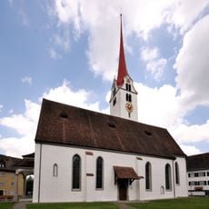
City Church of Bremgarten
611 m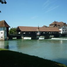
Covered wooden bridge over the river Reuss
693 m
St. Klara Monastery
604 m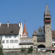
Former Muri-Amthof
713 m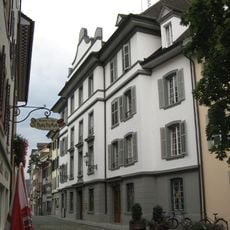
City hall
760 m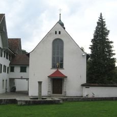
Clara chapel
631 m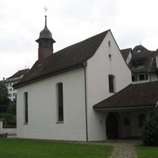
Mother of God chapel
649 m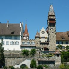
Muri-Amthof extension buildings
732 m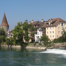
City fortifications (city wall, Hexenturm, Hermannsturm, Meiss-/Katzenturm, Spittelturm, Bollhaus)
514 m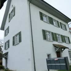
Roman catholic rectory
649 m
Bremgarten city archive
757 m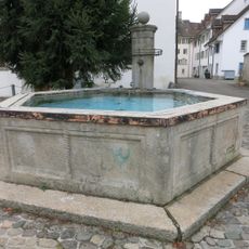
Fountain of 1570
564 m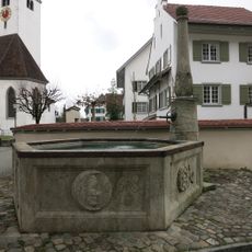
Fountain of 1568
675 m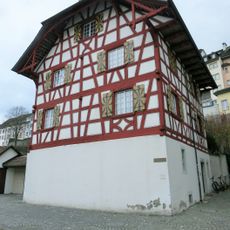
Former Ehrenkaplanei
682 m
Rectory
665 m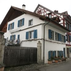
Haus
547 m
Alte Pfrund (Black Castle)
670 m
"zur Sonne" house
715 m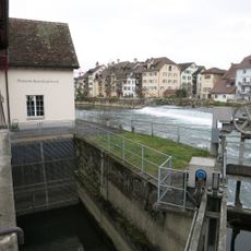
Museum of Reuss power station Bremgarten
686 m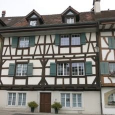
Sigristenhaus
562 m
Gasthaus "zum Sternen"
732 m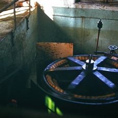
Reussinsel / Turbinen und Generator Kraftwerk Bruggmühle
691 m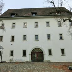
Granary
571 m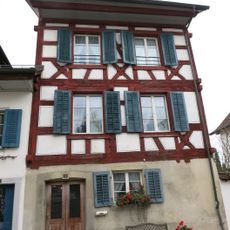
Katechetenhaus
550 m
Zum Strauss former Landschreiberei
684 m
House Reussgasse 17 as well as the rooms overlapping in no. 15
547 m
House (1641)
659 m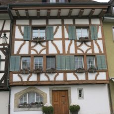
Ehemaliges Kaplaneigebäude St. Anna
565 mReviews
Visited this place? Tap the stars to rate it and share your experience / photos with the community! Try now! You can cancel it anytime.
Discover hidden gems everywhere you go!
From secret cafés to breathtaking viewpoints, skip the crowded tourist spots and find places that match your style. Our app makes it easy with voice search, smart filtering, route optimization, and insider tips from travelers worldwide. Download now for the complete mobile experience.

A unique approach to discovering new places❞
— Le Figaro
All the places worth exploring❞
— France Info
A tailor-made excursion in just a few clicks❞
— 20 Minutes