
Baldegg, neolithische/bonzezeitliche Seeufersiedlung
Baldegg, neolithische/bonzezeitliche Seeufersiedlung, archäologische Stätte in der Schweiz
Location: Hochdorf
Part of: list of cultural properties in Hohenrain
GPS coordinates: 47.18192,8.27375
Latest update: March 8, 2025 08:12
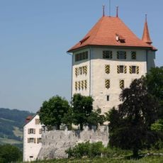
Heidegg Castle
3.9 km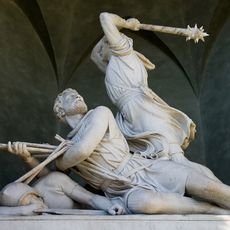
Winkelrieddenkmal
6.1 km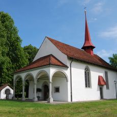
St. Jakob Battle chapel
6.1 km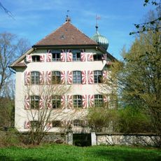
Horben Castle
5.8 km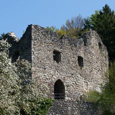
Medieval castle ruin Nünegg
3.8 km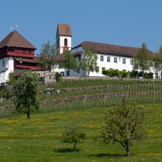
Former Commandery of St. John
3.4 km
Ruine Grünenberg
4.6 km
Kremerhaus
4.6 km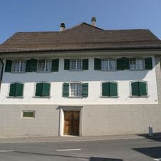
Former Tavern Zum Weissen Kreuz
4.6 km
Baldegg
550 m
Ottenhusen
4.5 km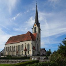
Pfarrkirche St. Maria
4.8 km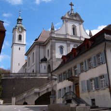
Catholic Church St. Pankratius
4.9 km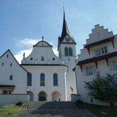
St. Martin's Catholic Church with Ossuary Chapel, Rectory and Cemetery Hall
2.2 km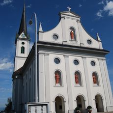
St. Jakob catholic church
5.9 km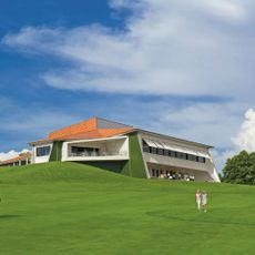
Golf Club Sempachersee
5.3 km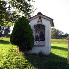
Mariahalden way chapel
6 km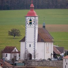
Catholic Church of St. Agatha
4.9 km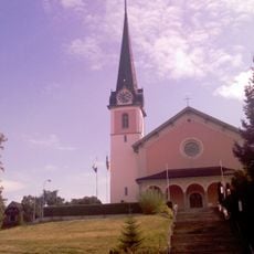
Catholic church of St. Margaret
4.8 km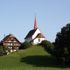
Pilgrimage Chapel Gormund with Kaplanei
4.8 km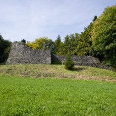
Oberreinach castle ruin
2.9 km
Kloster Baldegg, Archiv
787 m
Schloss Beromünster
5.1 km
Mooskapelle
6.1 km
Collection of Heidegg Castle
3.9 km
Deutschordenskommende Hitzkirch
4.8 km
Tower of Richensee
4.6 km
Ossuary (St. Jakob Battle chapel)
6.1 kmReviews
Visited this place? Tap the stars to rate it and share your experience / photos with the community! Try now! You can cancel it anytime.
Discover hidden gems everywhere you go!
From secret cafés to breathtaking viewpoints, skip the crowded tourist spots and find places that match your style. Our app makes it easy with voice search, smart filtering, route optimization, and insider tips from travelers worldwide. Download now for the complete mobile experience.

A unique approach to discovering new places❞
— Le Figaro
All the places worth exploring❞
— France Info
A tailor-made excursion in just a few clicks❞
— 20 Minutes