
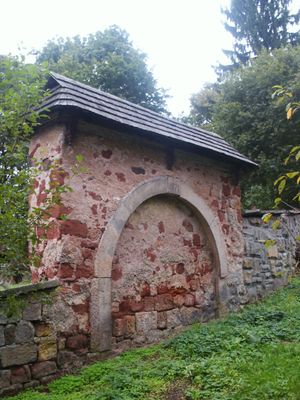
Cemetery gate in Dolní Olešnice, gate in Trutnov District
Location: Dolní Olešnice
Inception: 1573
Part of: Cemetery in Dolní Olešnice
GPS coordinates: 50.52373,15.71064
Latest update: March 7, 2025 12:03
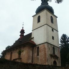
Church of Saint James (Dolní Olešnice)
18 m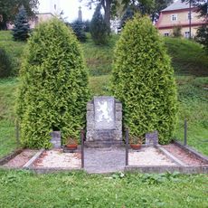
Pomník osvobození
73 m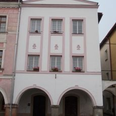
Náměstí čp. 58
2.1 km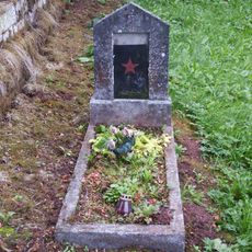
Hrob Rudoarmějce
15 m
Horní Brána čp. 66
2.1 km
Náměstí čp. 62
2.1 km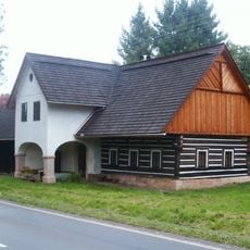
Venkovská usedlost
1.5 km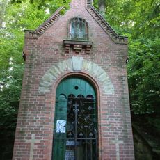
Virgin Mary chapel at Poštovní dvůr
1.3 km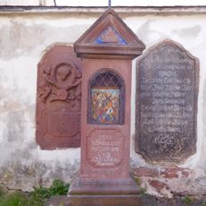
9th station of the cross in Hostinné
2.1 km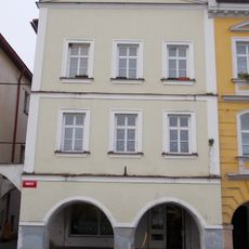
Náměstí čp. 59
2.1 km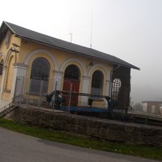
Labský mlýn hydro power station
2 km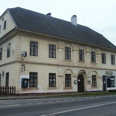
Venkovský dům
2 km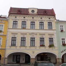
Náměstí čp. 61
2.1 km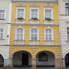
Náměstí čp. 60
2.1 km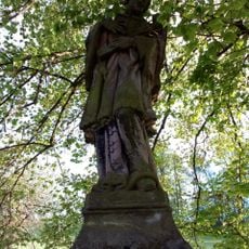
Sloup se sochou svatého Jana Nepomuckého
301 m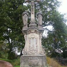
Sousoší Kalvárie
46 m
Dolní Brána čp. 55
2.1 km
Náměstí čp. 64
2.1 km
Dolní Brána čp. 54
2.1 km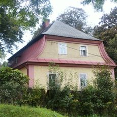
Fara
32 m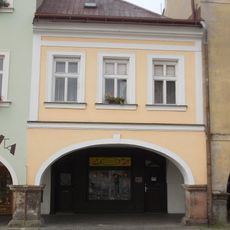
Náměstí čp. 63
2.1 km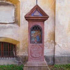
8th station of the cross in Hostinné
2.1 km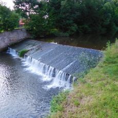
Weir in Hostinné (Elbe 218,9 km)
1.9 km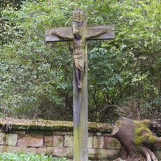
Cemetery cross in Dolní Olešnice
27 m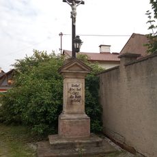
Cross in Labská fortna street
2 km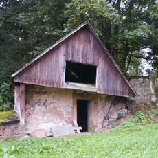
Cemetery in Dolní Olešnice
30 m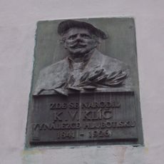
Pamětní deska Karla Klíče v Hostinném
2.1 km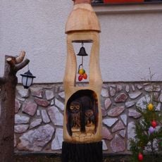
Bell tower in Luční street
2 kmReviews
Visited this place? Tap the stars to rate it and share your experience / photos with the community! Try now! You can cancel it anytime.
Discover hidden gems everywhere you go!
From secret cafés to breathtaking viewpoints, skip the crowded tourist spots and find places that match your style. Our app makes it easy with voice search, smart filtering, route optimization, and insider tips from travelers worldwide. Download now for the complete mobile experience.

A unique approach to discovering new places❞
— Le Figaro
All the places worth exploring❞
— France Info
A tailor-made excursion in just a few clicks❞
— 20 Minutes