
Cavertitz, German municipality
Location: Nordsachsen
Elevation above the sea: 103 m
Shares border with: Belgern-Schildau, Dahlen
Website: https://cavertitz.de
GPS coordinates: 51.38694,13.13000
Latest update: March 5, 2025 23:59
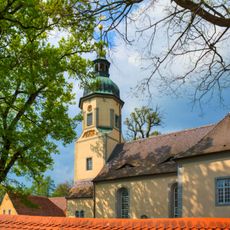
Church Lampertswalde
4.4 km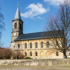
Kirche Liebschütz
4.5 km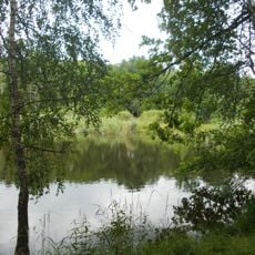
Reudnitz
4.4 km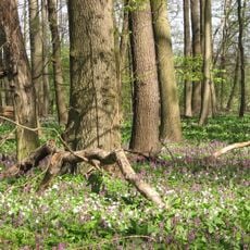
Langes Holz - Radeland
6.1 km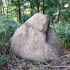
Menhir von Bucha
4.3 km
Liebschützer Höhenzug
3.8 km
Glacial erratic rock near Hospitalhütte Dahlen
7.5 km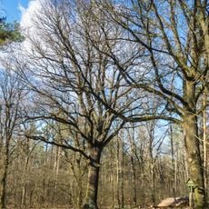
Quercus robur near Wohlau
4.6 km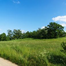
Quarry at Burschenberg near Cavertitz
923 m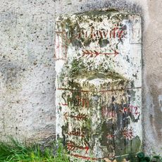
Wegestein Sahlassan
5 km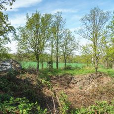
Großer Stein-Berg
4.6 km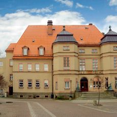
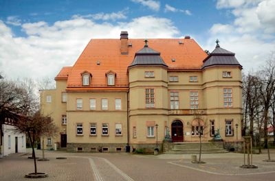
Neues Schloss Cavertitz
241 m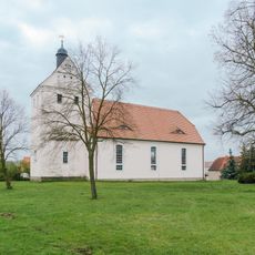
Church Schirmenitz
4 km
Transformatorenstation
5.6 km
Twin tree in Lausa
7.3 km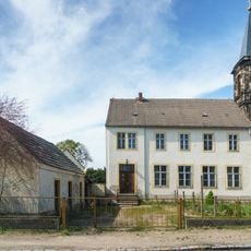
Clanzschwitzer Straße 10
4.5 km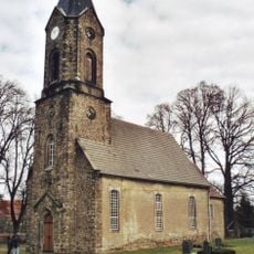
Kirche Sörnewitz
2.6 km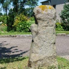
Steinkreuz Lampertswalde
5 km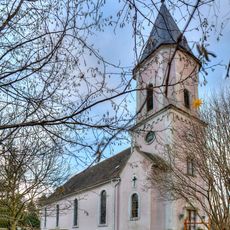
Kirche Bucha
6.1 km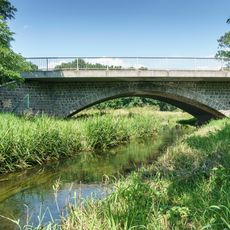
Rundbogenbrücke Cavertitz
219 m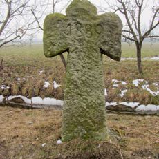
Sühnekreuz Paußnitz
4.5 km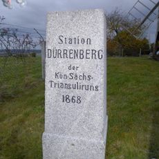
Station 105 Dürrenberg
3.8 km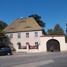
Pfarrhaus Lampertswalde
4.5 km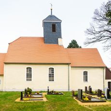
Kirche Olganitz
2.9 km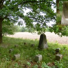
Saxon-Prussian boundary stone Pilar Nr. 6
3 km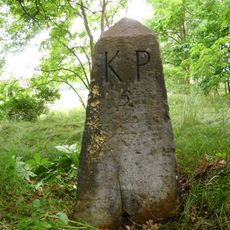
Saxon-Prussian boundary stone Pilar Nr. 5
2.6 km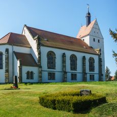
St. Thomas (Paußnitz)
5 km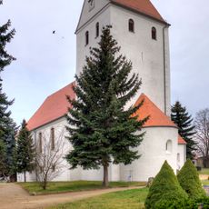
Kirche Laas
2.5 kmReviews
Visited this place? Tap the stars to rate it and share your experience / photos with the community! Try now! You can cancel it anytime.
Discover hidden gems everywhere you go!
From secret cafés to breathtaking viewpoints, skip the crowded tourist spots and find places that match your style. Our app makes it easy with voice search, smart filtering, route optimization, and insider tips from travelers worldwide. Download now for the complete mobile experience.

A unique approach to discovering new places❞
— Le Figaro
All the places worth exploring❞
— France Info
A tailor-made excursion in just a few clicks❞
— 20 Minutes