
Landsberied, municipality of Germany
Location: Fürstenfeldbruck
Elevation above the sea: 555 m
Part of: Verwaltungsgemeinschaft Mammendorf
Shares border with: Mammendorf, Jesenwang
Website: http://landsberied.de
GPS coordinates: 48.16667,11.16667
Latest update: March 7, 2025 05:21


Scala
4.3 km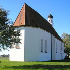
St. Willibald
1.7 km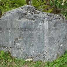
Forstlicher Versuchsgarten Grafrath
4 km
St. Johannes Baptist
4.8 km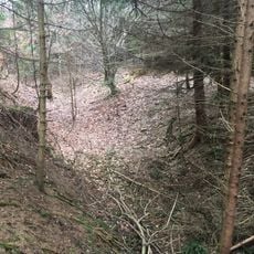
Abschnittsbefestigung Puch
4.1 km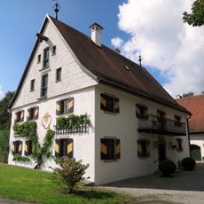
Zellhofstraße 1
4.6 km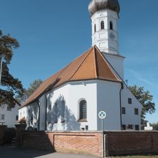
St. Michael (Jesenwang)
2.7 km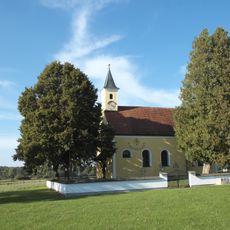
St. Vitus (Zellhof)
4.6 km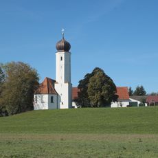
St. Maria (Bergkirchen)
2.4 km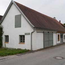
Ehemalige Schmiede
2 km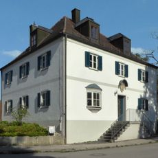
Pfarrhaus (Schöngeising)
4.6 km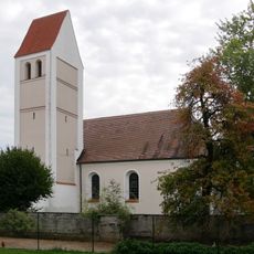
St. Johann Baptist
293 m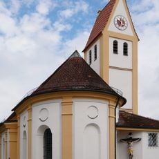
St. Peter und Paul
2.1 km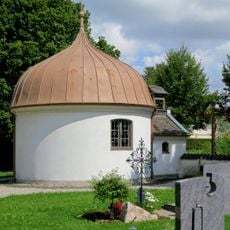
Maria Trost
2.5 km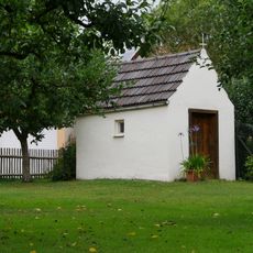
Marienkapelle
2 km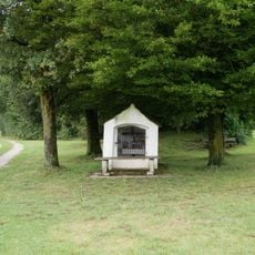
Feldkapelle (Puch)
3.7 km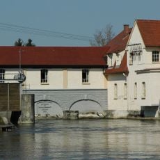
Amperkraftwerk (Schöngeising)
4.5 km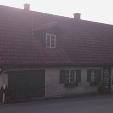
Ehemals Taglöhnerhaus
4.5 km
Bildstock, sog. Heiligensäule
4.3 km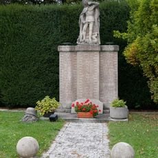
Kriegerdenkmal
457 m
Ehemals Bauernhof
4.2 km
Kruzifix 2
1.8 km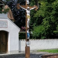
Kruzifix 1
2.5 km
Madonnenfigur
4.6 km
Forsthaus Schöngeising-Nord
4.1 km
Wohnhaus der ehemaligen Wassermühle und Zweihof
4.5 km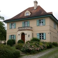
Ehemals Kuratenhaus, jetzt Pfarrhaus
2.1 km
Wohnhaus
4.3 kmReviews
Visited this place? Tap the stars to rate it and share your experience / photos with the community! Try now! You can cancel it anytime.
Discover hidden gems everywhere you go!
From secret cafés to breathtaking viewpoints, skip the crowded tourist spots and find places that match your style. Our app makes it easy with voice search, smart filtering, route optimization, and insider tips from travelers worldwide. Download now for the complete mobile experience.

A unique approach to discovering new places❞
— Le Figaro
All the places worth exploring❞
— France Info
A tailor-made excursion in just a few clicks❞
— 20 Minutes