
Stadtamhof, human settlement
Location: Regensburg
Elevation above the sea: 330 m
GPS coordinates: 49.02440,12.09720
Latest update: March 7, 2025 05:22

Spitalkirche St. Katharina
73 m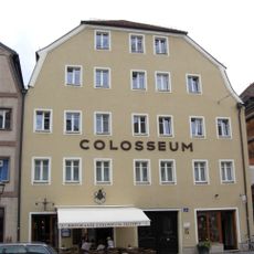
Wohn- und Geschäftshaus, ehemaliges Colosseum
51 m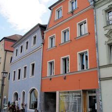
Wohn- und Geschäftshaus
110 m
Ehemalige Tabakmühle
96 m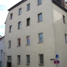
Wohnhaus
126 m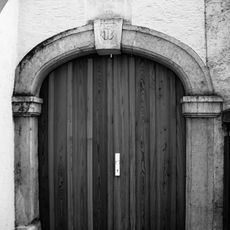
Portal
107 m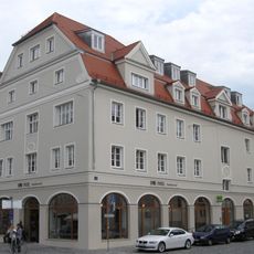
Wohn- und Geschäftshaus
50 m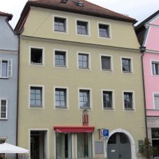
Ehemalige Brauereigaststätte
83 m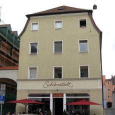
Wohn- und Geschäftshaus
87 m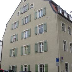
Doppelhaus
117 m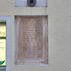
Gedenktafel mit Maria Immaculata zum Andenken an die im Spanischen Erbfolgekrieg am 12. August 1704 bei der Verteidigung von Stadtamhof gefallenen Bürger
86 m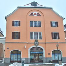
Ehemaliges Rathaus, 1812 als Königliches Hallamt erbaut
68 m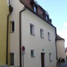
Ehemaliges Kaufmannshaus aus Wohnhaus und Salzniederlage
81 m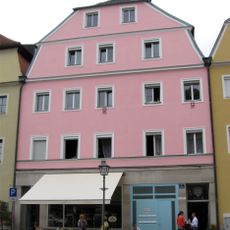
Wohn- und Geschäftshaus
81 m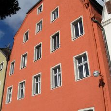
Ehemalige Rotgerberei
94 m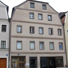
Wohn- und Geschäftshaus
48 m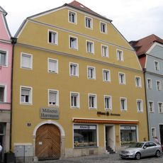
Wohn- und Geschäftshaus
67 m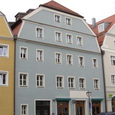
Wohn- und Geschäftshaus
44 m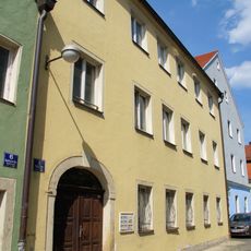
Wohnhaus
123 m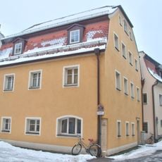
Wohnhaus
80 m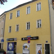
Wohnhaus
81 m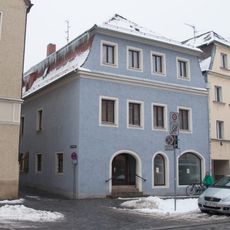
Wohn- und Geschäftshaus
94 m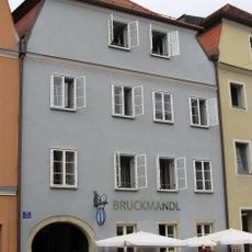
Wohn- und Geschäftshaus
100 m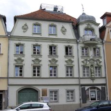
Wohn- und Geschäftshaus
112 m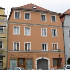
Ehemalige Brauereigaststätte
118 m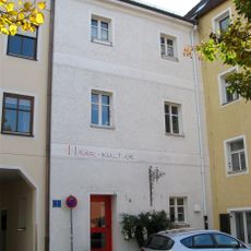
Wohnhaus, ehemaliges Lagerhaus
52 m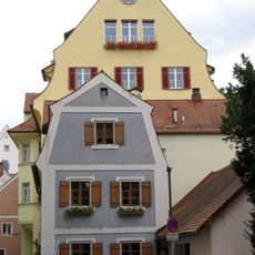
Kleinhaus
119 m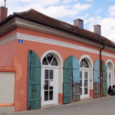
Sogenannter Brückenbasar
28 mReviews
Visited this place? Tap the stars to rate it and share your experience / photos with the community! Try now! You can cancel it anytime.
Discover hidden gems everywhere you go!
From secret cafés to breathtaking viewpoints, skip the crowded tourist spots and find places that match your style. Our app makes it easy with voice search, smart filtering, route optimization, and insider tips from travelers worldwide. Download now for the complete mobile experience.

A unique approach to discovering new places❞
— Le Figaro
All the places worth exploring❞
— France Info
A tailor-made excursion in just a few clicks❞
— 20 Minutes