
Achtrup, municipality of Germany
Location: Nordfriesland district
Elevation above the sea: 11 m
Website: http://achtrup.de
GPS coordinates: 54.79020,9.02790
Latest update: March 5, 2025 09:52
Medelby Church
9.8 km
Rantzauhöhe
5.8 km
St.-Jürgen-Kirche
11 km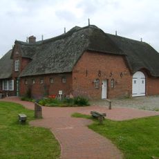
Leck-Huus
4.3 km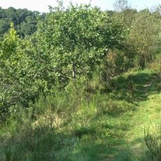
Eichenwälder der Böxlunder Geest
11.5 km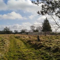
Leckfeld
4.5 km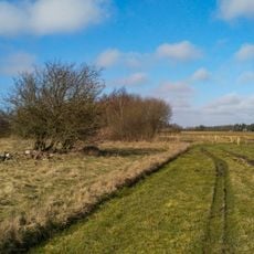
Leckfeld
4.2 km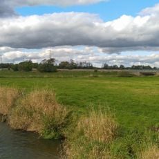
Gewässer des Bongsieler Kanal-Systems
5.8 km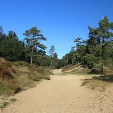
Heide- und Magerrasenlandschaft am Ochsenweg und im Soholmfeld
5.7 km
Wälder an der Lecker Au
2.6 km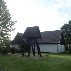
Læk Danske Kirke
3.6 km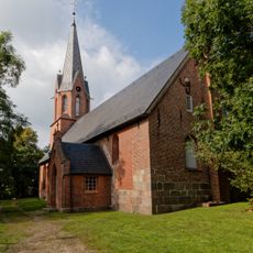
St. Willehadus Church
4.1 km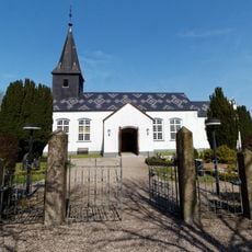
Ladelund Kirche
5.7 km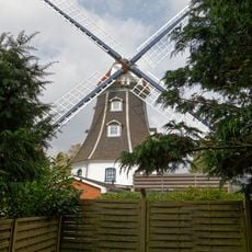
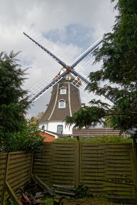
Windmühle „Jenny“
661 m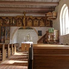
Kirche mit Ausstattung
11 km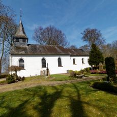
St. Laurentius
5.7 km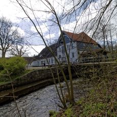
Brücke mit Stauwehr
10.9 km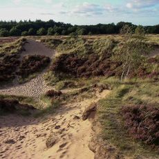
Süderlügumer Binnendünen
9.5 km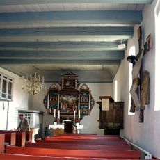
Kirche mit Ausstattung
9.8 km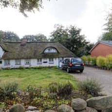
Wohnhaus
3.7 km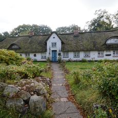
Wohnhaus
3.7 km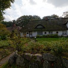
Wohnhaus
3.7 km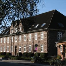
Finanzamt Nordfriesland
4.1 km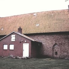
Catherine's Church
7.7 km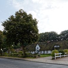
Wohnhausgruppe Fischerhäuser
3.7 km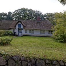
Wohnhaus
3.7 km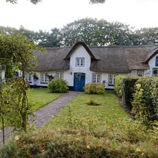
Wohnhaus
3.7 km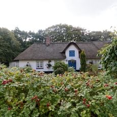
Wohnhaus
3.7 kmVisited this place? Tap the stars to rate it and share your experience / photos with the community! Try now! You can cancel it anytime.
Discover hidden gems everywhere you go!
From secret cafés to breathtaking viewpoints, skip the crowded tourist spots and find places that match your style. Our app makes it easy with voice search, smart filtering, route optimization, and insider tips from travelers worldwide. Download now for the complete mobile experience.

A unique approach to discovering new places❞
— Le Figaro
All the places worth exploring❞
— France Info
A tailor-made excursion in just a few clicks❞
— 20 Minutes