
Alte Schule, school in Hünfelden, Germany
Location: Hünfelden
Address: Schulstraße
GPS coordinates: 50.31630,8.11251
Latest update: April 27, 2025 23:10

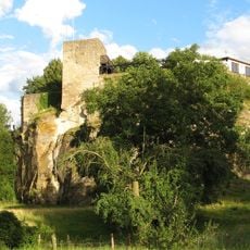
Burg Kirberg
3.1 km
Evangelische Kirche Mensfelden
2.9 km
Evangelische Kirche
3.3 km
Altes Rathaus
3.2 km
Evangelische Kirche
53 m
Langgasse 45
3.3 km
Burgstraße 19
3.3 km
Evangelisches Pfarrhaus
3.2 km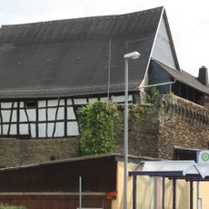
Zehntscheune
3.2 km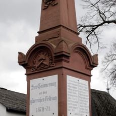
Denkmal 1870/71
3.3 km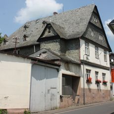
Burgstraße 48
3.2 km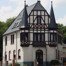
Kaltenholzhäuser Weg 3
3.1 km
Hauptstraße 23
162 m
Wallrabensteinsches Haus
3.3 km
Langgasse 33
3.2 km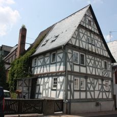
Ehem. Synagoge (Nr. 5)
3.3 km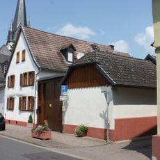
Burgstraße 24
3.3 km
Wassergasse 10
3.3 km
Wassergasse 7
3.3 km
Hohlgasse 8
3.3 km
Limburger Straße 27
3.2 km
Evangelische Kirche Neesbach
3.3 km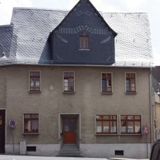
Gesamtanlage Kirberg
3.3 km
Langgasse 52
3.2 km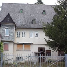
Bubenheimer Hof
3.3 km
Burgstraße 22
3.3 km
Ehem. Volksschule und Schulscheune
2.8 km
Pfarrhaus
2.9 kmReviews
Visited this place? Tap the stars to rate it and share your experience / photos with the community! Try now! You can cancel it anytime.
Discover hidden gems everywhere you go!
From secret cafés to breathtaking viewpoints, skip the crowded tourist spots and find places that match your style. Our app makes it easy with voice search, smart filtering, route optimization, and insider tips from travelers worldwide. Download now for the complete mobile experience.

A unique approach to discovering new places❞
— Le Figaro
All the places worth exploring❞
— France Info
A tailor-made excursion in just a few clicks❞
— 20 Minutes