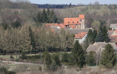
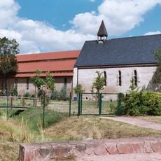
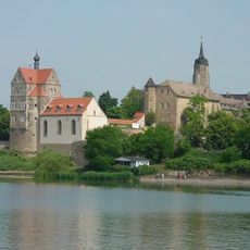
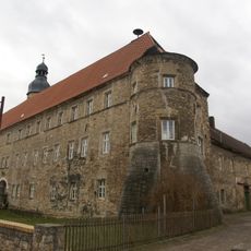
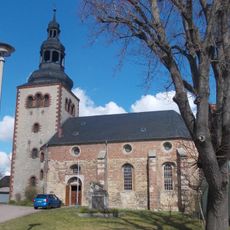
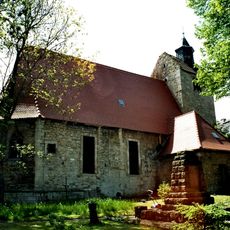
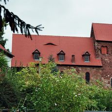
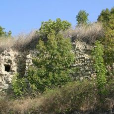
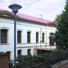
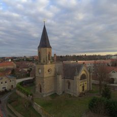
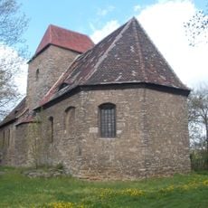
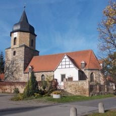
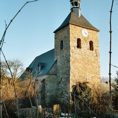
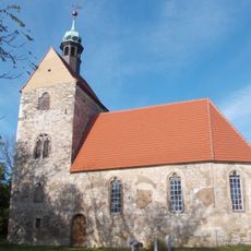
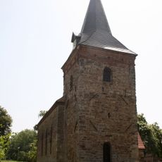
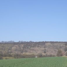
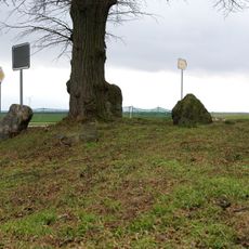
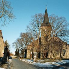
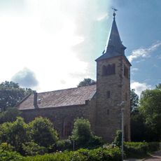
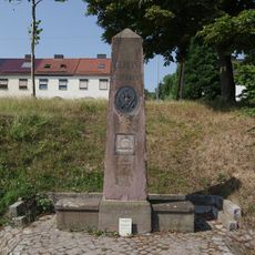
Seegebiet Mansfelder Land, municipality of Germany
The community of curious travelers
AroundUs brings together thousands of curated places, local tips, and hidden gems, enriched daily by 60,000 contributors worldwide.
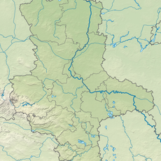
Location
Elevation above the sea
95 m
Shares border with
Obhausen, Gerbstedt
GPS coordinates
51.47360,11.68970
Latest update
March 3, 2025 06:21