
Leidersbach, municipality of Germany
Location: Miltenberg
Elevation above the sea: 196 m
Shares border with: Hohe Wart, Sulzbach am Main, Mespelbrunn
Website: http://leidersbach.de
GPS coordinates: 49.90000,9.21667
Latest update: March 4, 2025 06:04
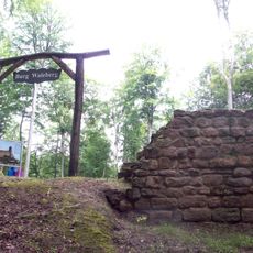
Altes Schloss
3.4 km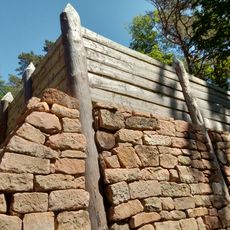
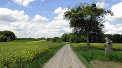
Altenburg
2 km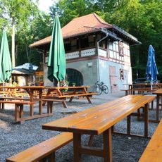
Hohe Wart Haus
3.5 km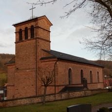
Pfarrkirche
164 m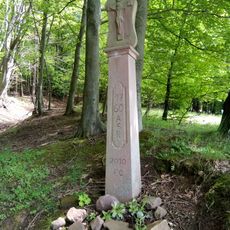
Bildstock
3.5 km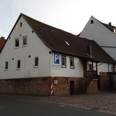
Wohnhaus
279 m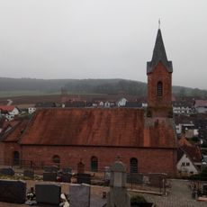
Kirche
3.2 km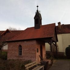
Wegkapelle
1.1 km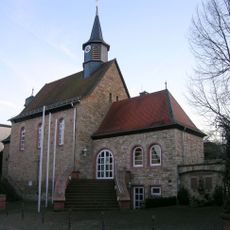
Kirche
2.1 km
Kapelle
3.8 km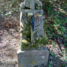
Gedenkstein
932 m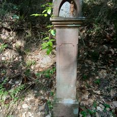
Gedenkstein
2.8 km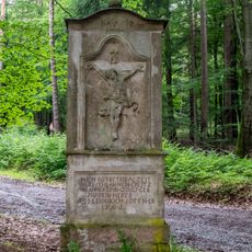
Weisses Bild
2.9 km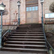
Fußweg Friedhofsweg 1 in Leidersbach
180 m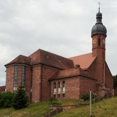
Pfarrkirche
2.9 km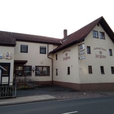
Gasthaus
282 m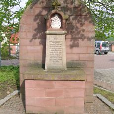
Bildstock
2.1 km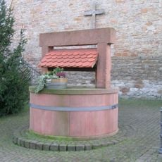
Ziehbrunnen
2.1 km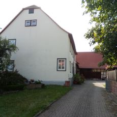
Wohnhaus
3.7 km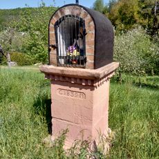
Bildstock
1 km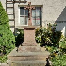
Kreuz
570 m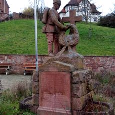
Kriegerdenkmal
2.8 km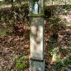
Bildstock
2.7 km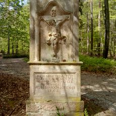
Bildstock
2.5 km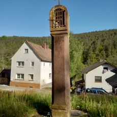
Bildstock
2.2 km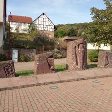
Kriegerdenkmal
3.7 km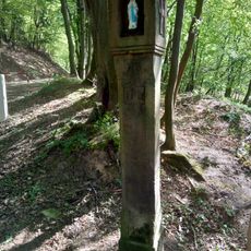
Bildstock
2.4 km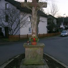
Kreuz
1.5 kmVisited this place? Tap the stars to rate it and share your experience / photos with the community! Try now! You can cancel it anytime.
Discover hidden gems everywhere you go!
From secret cafés to breathtaking viewpoints, skip the crowded tourist spots and find places that match your style. Our app makes it easy with voice search, smart filtering, route optimization, and insider tips from travelers worldwide. Download now for the complete mobile experience.

A unique approach to discovering new places❞
— Le Figaro
All the places worth exploring❞
— France Info
A tailor-made excursion in just a few clicks❞
— 20 Minutes