
Marktzeuln, market municipality of Germany
Location: Lichtenfels
Elevation above the sea: 292 m
Part of: Verwaltungsgemeinschaft Hochstadt-Marktzeuln
Shares border with: Redwitz an der Rodach, Burgkunstadt
Website: https://marktzeuln.de
GPS coordinates: 50.16667,11.16778
Latest update: March 8, 2025 01:42
Schloss
2.9 km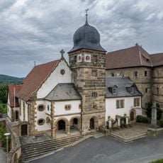
Pfarrkirche
2.8 km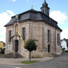
St. Laurentius (Lettenreuth)
1.2 km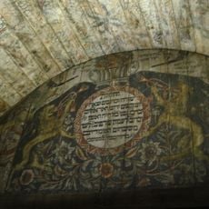
Horb Synagogue
2.5 km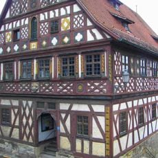
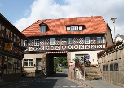
Rathaus
117 m
Kirche
1.2 km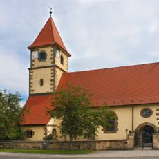
Pfarrkirche
1.3 km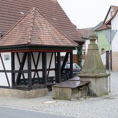
Dorfbrunnen
1.2 km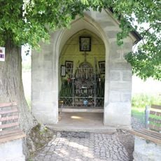
Wegkapelle
1.4 km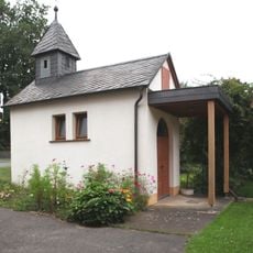
Kapelle
1 km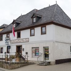
Gasthaus
1.2 km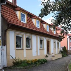
Wohnhaus
1.2 km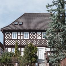
Wohnhaus
80 m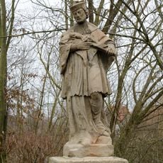
Statue
258 m
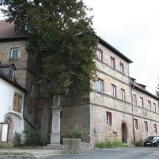
Landgericht
1.2 km
Wohnhaus
111 m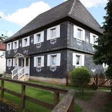
Wohnhaus
1.1 km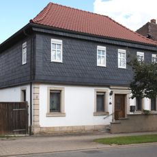
Wohnhaus
1.2 km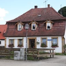
Wohnhaus
1.1 km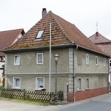
Wohnhaus
1.2 km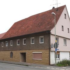
Wohnhaus
2.7 km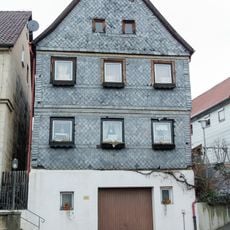
Wohnhaus
54 m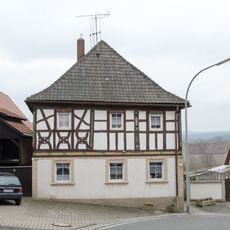
Wohnhaus
1.2 km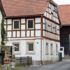
Wohnhaus
1.3 km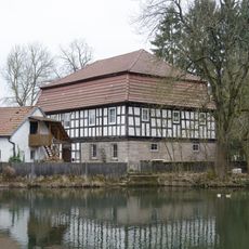
Mühle
173 m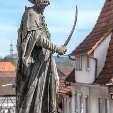
Gartenskulptur
116 m
Am Flecken 14
160 m
Wohnhaus
189 mReviews
Visited this place? Tap the stars to rate it and share your experience / photos with the community! Try now! You can cancel it anytime.
Discover hidden gems everywhere you go!
From secret cafés to breathtaking viewpoints, skip the crowded tourist spots and find places that match your style. Our app makes it easy with voice search, smart filtering, route optimization, and insider tips from travelers worldwide. Download now for the complete mobile experience.

A unique approach to discovering new places❞
— Le Figaro
All the places worth exploring❞
— France Info
A tailor-made excursion in just a few clicks❞
— 20 Minutes