Lichtenfels, Administrative district in Upper Franconia, Germany
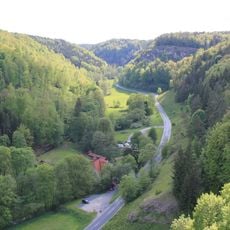
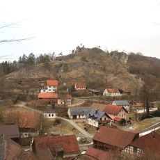
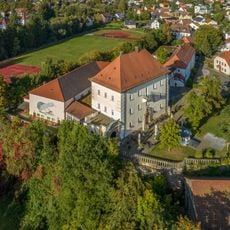
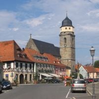
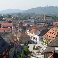
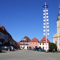
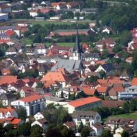
Lichtenfels is an administrative district in Upper Franconia that encompasses several small municipalities and two forest areas arranged around the Main River valley. The region forms a cohesive territory with diverse landscapes and settlement patterns.
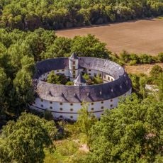
The territory was created in 1862 through the consolidation of several smaller administrative units that previously fell under different rulers, including the Bishopric of Bamberg. This merger established the modern administrative framework that continues today.
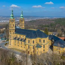
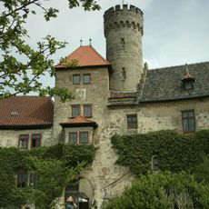
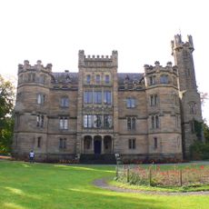
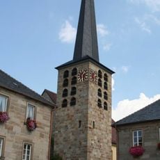
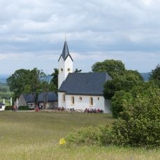
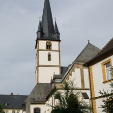
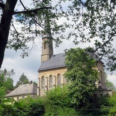
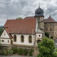
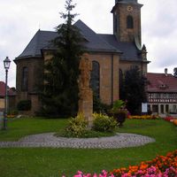
The district brings together the heritage of several historic territories, reflected in its symbols and local names. This connection is visible today in the traditions and buildings of individual towns, each maintaining its own character.
The district is well connected by road to surrounding areas, making it easy to explore multiple neighboring regions from this location. Visitors should have access to a vehicle to reach the scattered municipalities and forest areas comfortably.
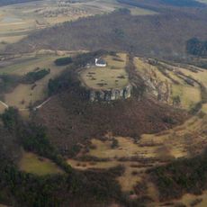
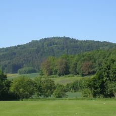
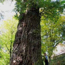
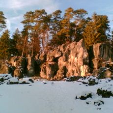
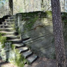
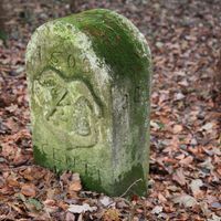
The district includes two extensive forest reserves, Breitengüßbacher Forst and Neuensorger Forst, which function as natural islands within the otherwise settled landscape. These woods offer quiet retreat and shelter local wildlife in the heart of the inhabited territory.
The community of curious travelers
AroundUs brings together thousands of curated places, local tips, and hidden gems, enriched daily by 60,000 contributors worldwide.