Enable Location

We need your location to show you interesting places around you

Discover nearby places

Find interesting locations and hidden gems around you

Precise directions

Get accurate directions and distances to places

Your location is never shared with other users. It's only used when you tap the location button.

Lichtenfels

Log in to your account

Join the adventure

Create your free account and start exploring (like 60k+ others)

We will send you a code to connect

or
Continue with Google
Continue with Apple
By continuing, you accept our Terms and Conditions and our Privacy Policy

Check your inbox

We've sent a pincode in your inbox. Please enter the code below.

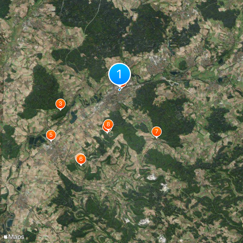
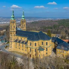
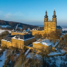
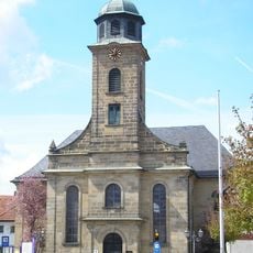
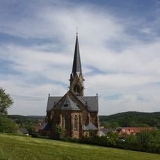
Lichtenfels, Administrative district capital in Upper Franconia, Germany

Description

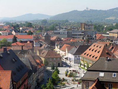
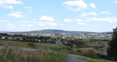
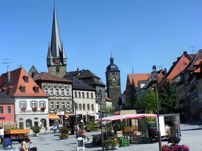
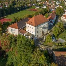
Lichtenfels sits on both sides of the Main River with the Franconian Jura hills rising around it. The town spreads through a valley setting that creates its natural framework in Upper Franconia.

History

The town was founded in 1142 and received its charter in 1231 from Otto III. This recognition launched its development as a regional trading center.

Culture

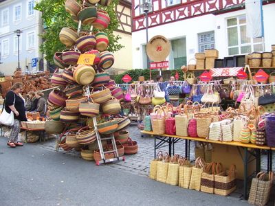
The town has earned its reputation as Germany's Basket City through centuries of weaving tradition that remains visible in workshops and shops throughout the streets. This craft remains woven into the local identity and shapes how residents define their community.

Practical

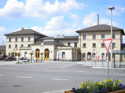
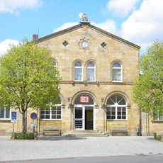
The train station connects the town to neighboring cities through regular rail services and serves as a main arrival point. Visitors can use the central location of the station as a starting point to explore the town center and surrounding areas.

Did you know?

Each year the Korbmarkt festival transforms the town into a gathering place where basket makers from many countries come to display their techniques and work. This event brings together people who continue to practice and share the weaving craft.

Location
Elevation above the sea
271 m
Shares border with
Bad Staffelstein, Altenkunstadt
GPS coordinates
50.14694,11.06833
Latest update
December 14, 2025 17:50

AroundUs brings together thousands of curated places, local tips, and hidden gems, enriched daily by 60,000 contributors worldwide. Discover all places nearby (Lichtenfels).

« Lichtenfels - Administrative district capital in Upper Franconia, Germany » is provided by Around Us (aroundus.com). Images and texts are derived from Wikimedia project under a Creative Commons license. You are allowed to copy, distribute, and modify copies of this page, under the conditions set by the license, as long as this note is clearly visible.

Discover hidden gems everywhere you go!

From secret cafés to breathtaking viewpoints, skip the crowded tourist spots and find places that match your style. Our app makes it easy with voice search, smart filtering, route optimization, and insider tips from travelers worldwide. Download now for the complete mobile experience.

Around Us App Screenshot

A unique approach to discovering new places

Le Figaro

All the places worth exploring

France Info

A tailor-made excursion in just a few clicks

20 Minutes

Around Us
Travel Guide & Maps
Download

Send to your phone

QR Code
1

Open the camera app on your mobile.

2

Point at the QR code with your camera. A notification will appear.

3

Tap the notification to open the link.