Staffelberg, Mountain and geotope in Bad Staffelstein, Germany
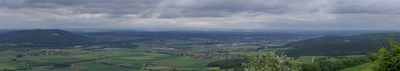
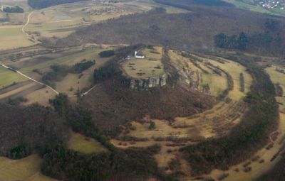
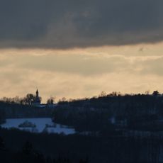
Staffelberg rises 539 meters above sea level and forms a flat-topped hill in Franconian Switzerland with a plateau roughly 150 meters long and 200 meters wide. Its steep limestone cliffs rise above wooded slopes and offer open views across the valleys from the top.
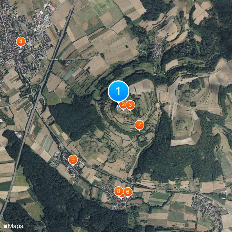
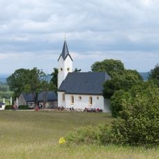
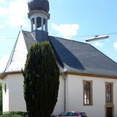
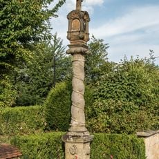
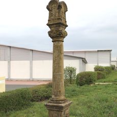
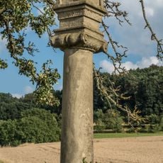
Around 2300 years ago, during the La Tène period, Celtic settlers built a fortified site called Menosgada on the plateau. In the Middle Ages the summit became a place of pilgrimage, and the present chapel was constructed in the 18th century.
The chapel near the summit carries the name of a Franconian noblewoman from the 7th century and still welcomes pilgrims who come to pray or rest. Hikers often pause there before heading back down, taking in the sweeping view over the winding Main river below.
Several hiking trails lead from Bad Staffelstein up to the summit, and most walkers need about an hour to reach the top. Sturdy footwear is a good idea since some sections can be rocky and steep.
The rock layers along the cliff faces show deposits from the entire Jurassic period, spanning roughly 200 to 140 million years, and allow geologists to read Earth's history like an open book. Fossils of marine creatures remind visitors that a warm ocean once covered this spot.
The community of curious travelers
AroundUs brings together thousands of curated places, local tips, and hidden gems, enriched daily by 60,000 contributors worldwide.