Enable Location

We need your location to show you interesting places around you

Discover nearby places

Find interesting locations and hidden gems around you

Precise directions

Get accurate directions and distances to places

Your location is never shared with other users. It's only used when you tap the location button.

Upper Franconia

Log in to your account

Start exploring — it's free

Trusted by 63,024 travelers worldwide

Continue with Google
Continue with Apple
or

We will send you a code to connect

By continuing, you accept our Terms and Conditions and our Privacy Policy

Check your inbox

We've sent a pincode in your inbox. Please enter the code below.

Discussion Reviews 1 Photos
111k Popularity

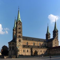
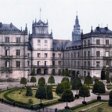
Upper Franconia, Administrative region in Bavaria, Germany

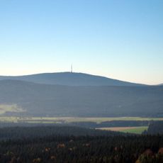
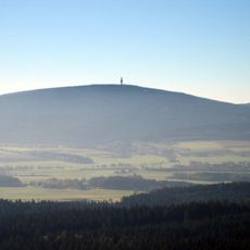
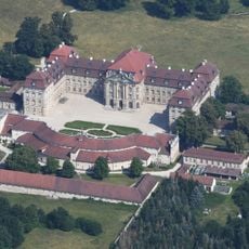
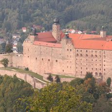
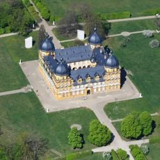
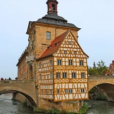
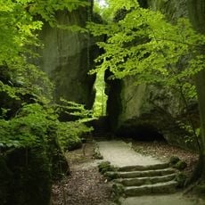
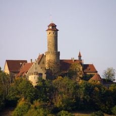
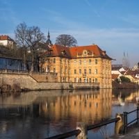
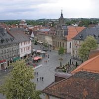
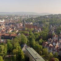
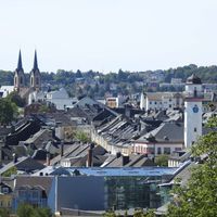
Upper Franconia is a district in northeastern Bavaria, situated between the Fichtel Mountains, Franconian Forest, and Franconian Switzerland. The landscape alternates between forested low mountain ranges, river valleys, and gentle hills dotted with small towns and villages.

Frankish tribes settled the area in the early Middle Ages, bringing their language and culture with them. Following the reorganization of German territories at the beginning of the 19th century, the region became part of the Bavarian state.

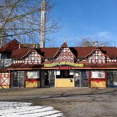
The name reflects the Franconian settlement and distinguishes this area from the neighboring Franconian regions to the south. Visitors today experience a village-based brewing culture with cellar beers and taverns that shape daily life in the towns.

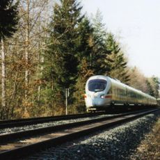
Most places are accessible through a network of country roads and regional rail lines, though traveling between valleys often takes more time. Hiking trails and cycling routes connect smaller communities and often follow historic trade routes.

In some villages, families still brew in their own cellars and serve the beer only a few days each year directly on site. This tradition arose because every property once held the right to produce and sell its own beer.

The community of curious travelers

AroundUs brings together thousands of curated places, local tips, and hidden gems, enriched daily by 60,000 contributors worldwide.

Start exploring
Location
Location
Kingdom of Bavaria
Capital city
Bayreuth
Elevation above the sea
368 m
Shares border with
Lower Franconia, Middle Franconia, Upper Palatinate
GPS coordinates
49.95000,11.58333
Latest update
December 16, 2025 05:54
Reviews
Share your experience

No review yet

Discussions
Start a discussion...

No discussion yet

« Upper Franconia - Administrative region in Bavaria, Germany » is provided by Around Us (aroundus.com). Images and texts are derived from Wikimedia project under a Creative Commons license. You are allowed to copy, distribute, and modify copies of this page, under the conditions set by the license, as long as this note is clearly visible.

Discover hidden gems everywhere you go!

From secret cafés to breathtaking viewpoints, skip the crowded tourist spots and find places that match your style. Our app makes it easy with voice search, smart filtering, route optimization, and insider tips from travelers worldwide. Download now for the complete mobile experience.

Around Us App Screenshot

A unique approach to discovering new places

Le Figaro

All the places worth exploring

France Info

A tailor-made excursion in just a few clicks

20 Minutes

Around Us
Travel Guide & Maps
Download

Send to your phone

QR Code
1

Open the camera app on your mobile.

2

Point at the QR code with your camera. A notification will appear.

3

Tap the notification to open the link.