Enable Location

We need your location to show you interesting places around you

Discover nearby places

Find interesting locations and hidden gems around you

Precise directions

Get accurate directions and distances to places

Your location is never shared with other users. It's only used when you tap the location button.

Log in to your account

Start exploring — it's free

Trusted by 63,026 travelers worldwide

Continue with Google
Continue with Apple
or

We will send you a code to connect

By continuing, you accept our Terms and Conditions and our Privacy Policy

Check your inbox

We've sent a pincode in your inbox. Please enter the code below.

Discussion Reviews Photo
20.5k Popularity

Kulmbach, Administrative district in Upper Franconia, Germany

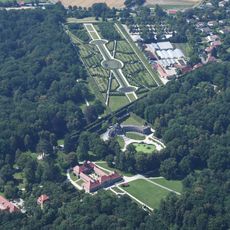
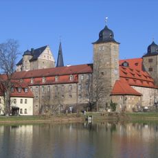
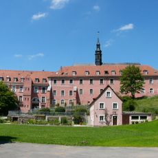
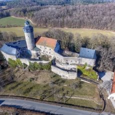
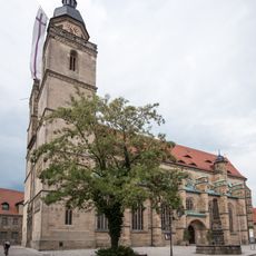
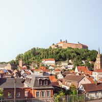
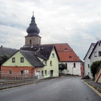
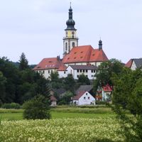
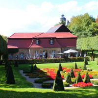
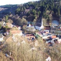
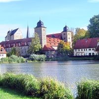
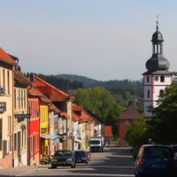
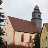
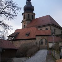
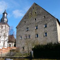
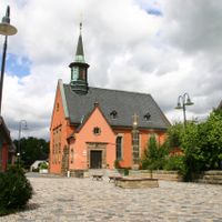
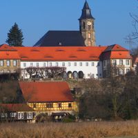
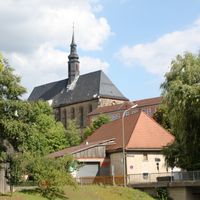
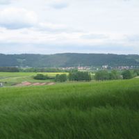
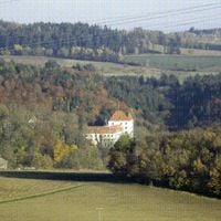
Kulmbach is an administrative district in Upper Franconia that spans multiple municipalities across northern Bavaria. The area features a landscape shaped by rivers and gentle hills, with various towns and villages connected by rural roads and farmland.

The district was established in 1862 as part of Bavaria's administrative reorganization that created new territorial divisions. This reform shaped the modern boundaries of the region as it exists today.

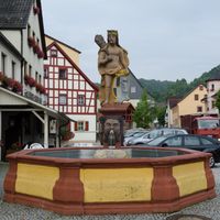
Visitors can observe daily life in the villages, where May festivals and local celebrations keep Franconian culture alive. These gatherings show how people come together to share their customs through music, regional food, and crafts passed down through generations.

The region is rural and best explored by car, as villages and towns are spread across countryside roads. Plan travel time between locations and check local information centers in larger towns for regional recommendations and directions.

At the district boundary, the White Main and Red Main rivers meet, forming a geographical point that influences local water management and farming practices. This river confluence shapes the land and serves as a distinctive landmark for visitors exploring the area.

The community of curious travelers

AroundUs brings together thousands of curated places, local tips, and hidden gems, enriched daily by 60,000 contributors worldwide.

Start exploring
Location
Inception
July 1, 1862
Capital city
Kulmbach
Elevation above the sea
391 m
Shares border with
Hof, Kronach, Lichtenfels, Bayreuth
GPS coordinates
50.08667,11.39729
Latest update
December 7, 2025 10:05
Reviews
Share your experience

No review yet

Discussions
Start a discussion...

No discussion yet

« Kulmbach - Administrative district in Upper Franconia, Germany » is provided by Around Us (aroundus.com). Images and texts are derived from Wikimedia project under a Creative Commons license. You are allowed to copy, distribute, and modify copies of this page, under the conditions set by the license, as long as this note is clearly visible.

Discover hidden gems everywhere you go!

From secret cafés to breathtaking viewpoints, skip the crowded tourist spots and find places that match your style. Our app makes it easy with voice search, smart filtering, route optimization, and insider tips from travelers worldwide. Download now for the complete mobile experience.

Around Us App Screenshot

A unique approach to discovering new places

Le Figaro

All the places worth exploring

France Info

A tailor-made excursion in just a few clicks

20 Minutes

Around Us
Travel Guide & Maps
Download

Send to your phone

QR Code
1

Open the camera app on your mobile.

2

Point at the QR code with your camera. A notification will appear.

3

Tap the notification to open the link.