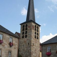
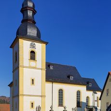
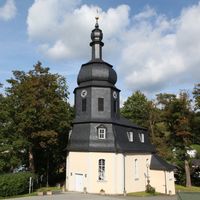
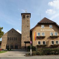
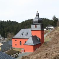
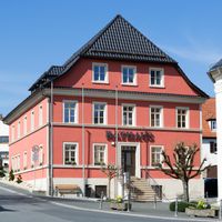
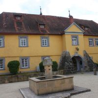
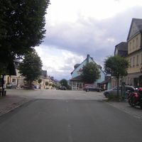
Kronach, Administrative district in Upper Franconia, Bavaria, Germany.
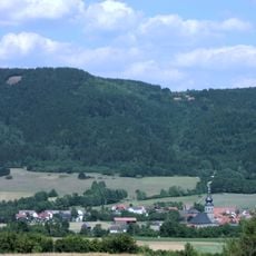
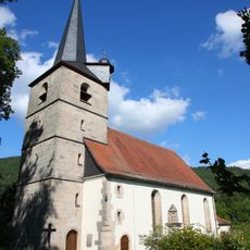
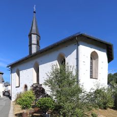
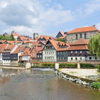
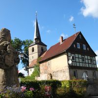
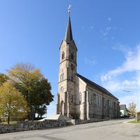
Kronach is an administrative district in Upper Franconia, Bavaria, encompassing about 651 square kilometers across 18 municipalities and portions of the Franconian Forest. The territory is traversed by several rivers that shape the landscape and link it to neighboring regions.
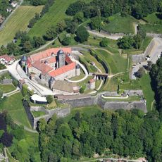
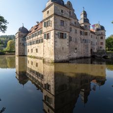
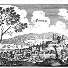
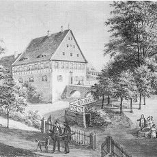
The territory came under the control of the Prince-Bishopric of Bamberg in the 12th century, remaining so until 1803, which shaped its economic and political development. The modern district was formed in 1931 through the merger of the former Kronach and Teuschnitz districts.
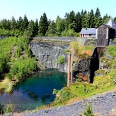
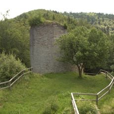
The coat of arms displays two lions representing Bamberg and Orlamünde alongside a wheel symbolizing the water mills that once powered the local economy. These symbols reflect the region's heritage and the importance of waterways to its communities.
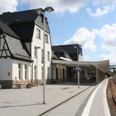
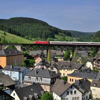
The district is well-connected to neighboring areas through major roads and railway routes, making travel to other parts of Franconia straightforward. Vehicle registration codes KC and SAN help identify the local origin of registered cars.
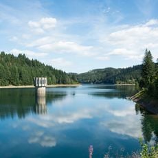
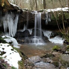
The Kronach River flows southward through multiple municipalities within the district before joining the Main River system beyond its boundaries. These waterways were historically vital to the development of settlements and mills throughout the region.
The community of curious travelers
AroundUs brings together thousands of curated places, local tips, and hidden gems, enriched daily by 60,000 contributors worldwide.