
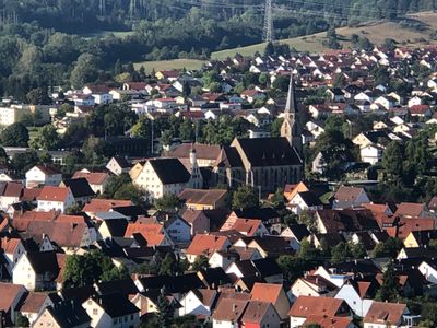
Rangendingen, municipality in Germany
Location: Zollernalbkreis
Location: Hechingen VVG
Elevation above the sea: 421 m
Shares border with: Grosselfingen, Hechingen, Haigerloch, Rottenburg am Neckar, Hirrlingen, Starzach
Website: https://rangendingen.eu
GPS coordinates: 48.38111,8.88889
Latest update: March 2, 2025 23:11
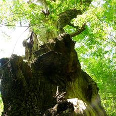
Muttereiche
3.4 km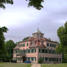
Schloß Lindich
3.1 km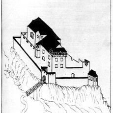
Stauffenberg Castle
2.1 km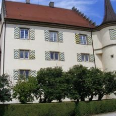
Schloss Wachendorf
5.7 km
Neuhaus Oak
6 km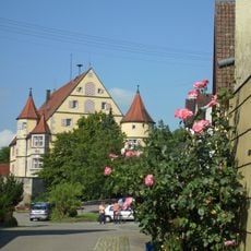
Schloss Hirrlingen
3.3 km
Vollmershalde
4.9 km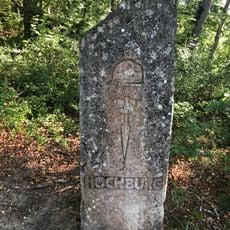
Burg Hohenrangendingen
934 m
Kapfhalde
4.4 km
Espenloch-Hintere Halde
1.5 km
Breilried
4.3 km
Neckar und Seitentäler bei Rottenburg
6.1 km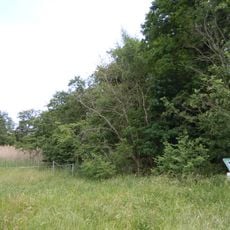
Salenhofweiher
4.4 km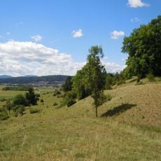
Stettener Weinberg
4.8 km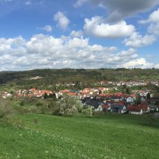
Mittleres Starzeltal
2.8 km
Vollmershalde
4.9 km
Eichenberg
4.8 km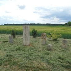
Grenzsteine bei Höfendorf (Rangendingen)
4.1 km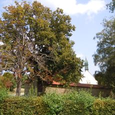
4 Linden, 1 Kastanie
5.8 km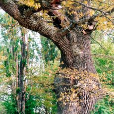
1 Eiche bei Neuhaus
6 km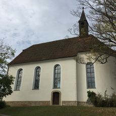
St.-Wendelinskapelle
6 km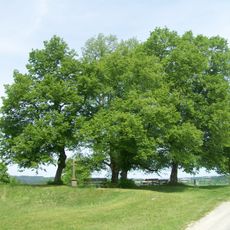
5 Linden mit Steinkreuz
4.2 km
26 Linden am Galgenrain
951 m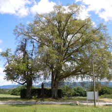
2 Linden mit Kriegerdenkmal
4.2 km
2 Kastanien u. 1 Robinie am Steinkreuz
3.3 km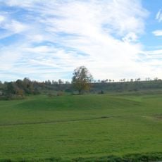
1 Linde auf dem Weiherbuckel (Weilheim)
3.6 km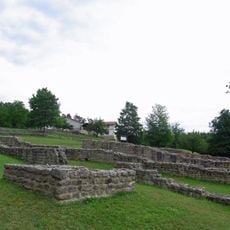
Villa Rustica (Hechingen-Stein)
3.5 km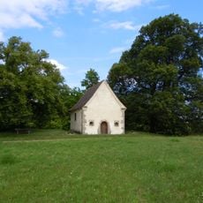
2 Linden bei der Kapelle
916 mVisited this place? Tap the stars to rate it and share your experience / photos with the community! Try now! You can cancel it anytime.
Discover hidden gems everywhere you go!
From secret cafés to breathtaking viewpoints, skip the crowded tourist spots and find places that match your style. Our app makes it easy with voice search, smart filtering, route optimization, and insider tips from travelers worldwide. Download now for the complete mobile experience.

A unique approach to discovering new places❞
— Le Figaro
All the places worth exploring❞
— France Info
A tailor-made excursion in just a few clicks❞
— 20 Minutes