
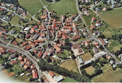
Dirlammen, human settlement
Location: Lautertal
Elevation above the sea: 451 m
GPS coordinates: 50.60639,9.30306
Latest update: April 4, 2025 17:28
Evangelische Kirche Dirlammen
34 m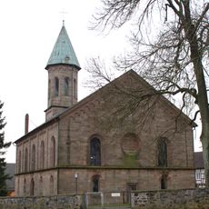
Evangelische Kirche Engelrod
3.9 km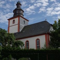
Evangelische Kirche Hopfmannsfeld
2.1 km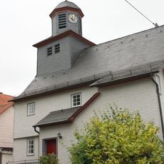
Evangelische Kirche
3.7 km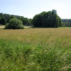
Naturschutzgebiet Münchswiesen bei Frischborn
2.7 km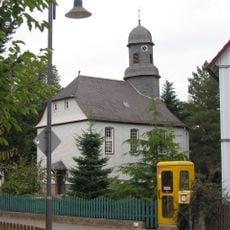
Talstrasse 12
3.1 km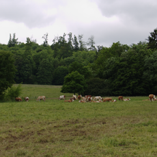
Naturschutzgebiet Bienwiesen bei Allmenrod
2.2 km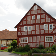
Querweg 3
3 km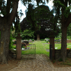
Friedhof
3.5 km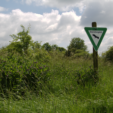
Naturschutzgebiet Heidberg bei Sickendorf
4.1 km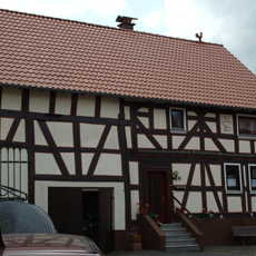
Talstraße 25
3 km
Steigersweg 7
3 km
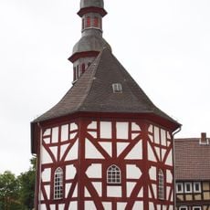
Spritzenhaus
3.2 km
Lauterweg 3
3 km
Oberdorf 2
3 km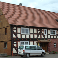
Oberdorf 5
3.1 km
Talstraße 30
3 km
Steigersweg 1
3 km
Steigersweg 2
3 km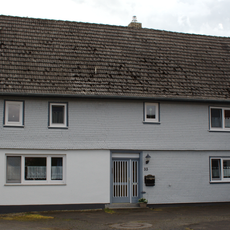
Talstraße 33
3 km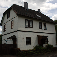
Ehemaliges Schulhaus
3.2 km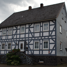
Talstraße 29
3 km
Talstraße 27
3 km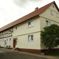
Talstraße 23
3 km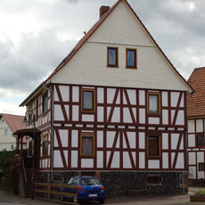
Talstraße 21
3.1 km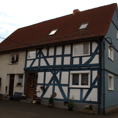
Talstraße 22
3.1 km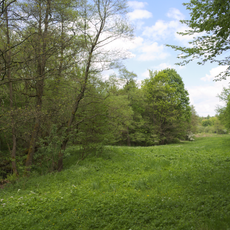
Talauen von Brenderwasser,Sengersbach,Wannbach- und Köpfelbachtal
3.9 km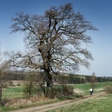
Eiche in der Kreuzwiese von Engelrod
3.6 kmVisited this place? Tap the stars to rate it and share your experience / photos with the community! Try now! You can cancel it anytime.
Discover hidden gems everywhere you go!
From secret cafés to breathtaking viewpoints, skip the crowded tourist spots and find places that match your style. Our app makes it easy with voice search, smart filtering, route optimization, and insider tips from travelers worldwide. Download now for the complete mobile experience.

A unique approach to discovering new places❞
— Le Figaro
All the places worth exploring❞
— France Info
A tailor-made excursion in just a few clicks❞
— 20 Minutes