
Perasdorf, municipality of Germany
Location: Straubing-Bogen
Elevation above the sea: 503 m
Part of: Verwaltungsgemeinschaft Schwarzach
Website: https://perasdorf.de
GPS coordinates: 48.95000,12.80000
Latest update: March 7, 2025 05:27
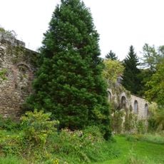
Burg Degenberg
2.9 km
Rettenbach 12
4.7 km
Schopf
3.2 km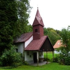
Kapelle
3.3 km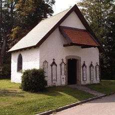
Ortskapelle
4.5 km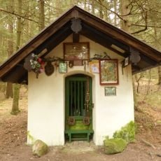
Waldkapelle
2.2 km
Kleiner Kapellenbau
2 km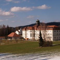
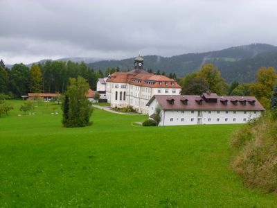
Kloster Kostenz
3.1 km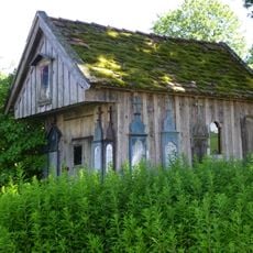
Kleine hölzerne Hofkapelle
2.8 km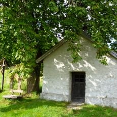
Wegkapelle
4.5 km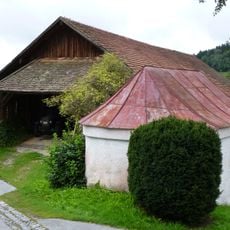
Kapelle
2.5 km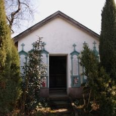
Hofkapelle
2.2 km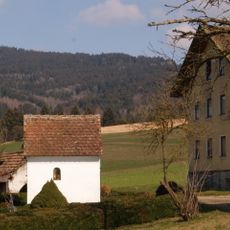
Kapelle
2 km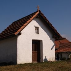
Kapelle
2.7 km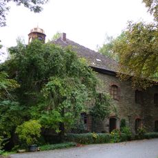
Meierhof
3.2 km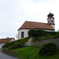
Pfarrkirche
151 m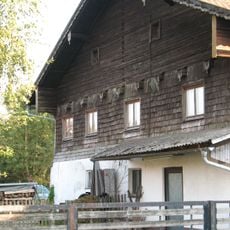
Ehemalige Schmiede
3.5 km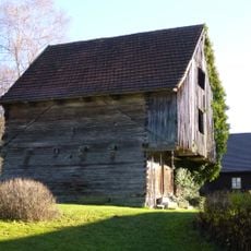
Rettenbach 24
4.6 km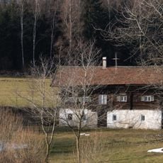
Kleinhaus mit Blockbau-Obergeschoss und Giebellaube
4.6 km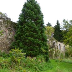
Ruine der Burg Degenberg
2.9 km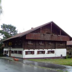
Gasthof
3.3 km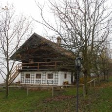
Zuhaus mit Troadboden
3.5 km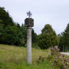
Pestmarterl
3.5 km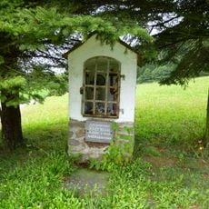
Bildstock
3.2 km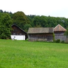
Wohnstallhaus
3.2 km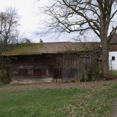
Traidkasten
2.2 km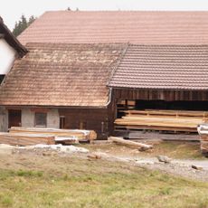
Hierzu Ausnahmshaus
2 km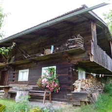
Hilm 8
4.3 kmVisited this place? Tap the stars to rate it and share your experience / photos with the community! Try now! You can cancel it anytime.
Discover hidden gems everywhere you go!
From secret cafés to breathtaking viewpoints, skip the crowded tourist spots and find places that match your style. Our app makes it easy with voice search, smart filtering, route optimization, and insider tips from travelers worldwide. Download now for the complete mobile experience.

A unique approach to discovering new places❞
— Le Figaro
All the places worth exploring❞
— France Info
A tailor-made excursion in just a few clicks❞
— 20 Minutes