Wiepke, human settlement
Location: Gardelegen
Elevation above the sea: 37 m
GPS coordinates: 52.59972,11.33167
Latest update: March 5, 2025 01:32
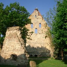
Kalbe Castle
7.5 km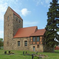
Dorfkirche Engersen
2.4 km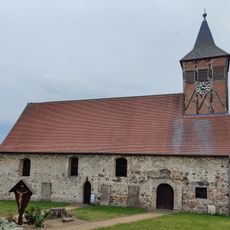
Dorfkirche Berge
5.7 km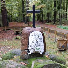
Eisernes Kreuz
7.5 km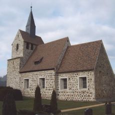
Protestant Church (Wiepke)
125 m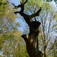
Zichtau Oak
3.1 km
Saint Peter Church
7.1 km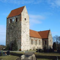
Dorfkirche Kakerbeck
8.2 km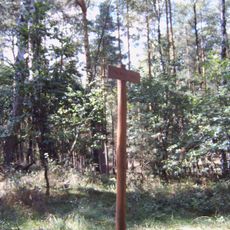
Stakenberg
2.5 km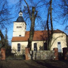
Dorfkirche Zichtau
2.4 km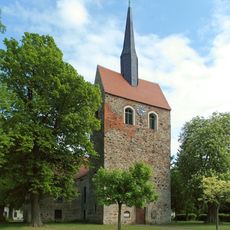
Saint Nicholas Church (Kalbe, Milde)
6.9 km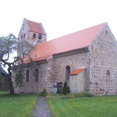
Dorfkirche Schwiesau
5.1 km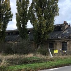
Lokschuppen Kalbe
7.8 kmMühle Wiepke
510 m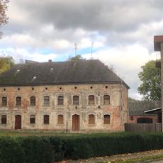
Wassermühlenwerke Otto Wernecke
7.7 km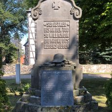
Kriegerdenkmal Breitenfeld
6.4 km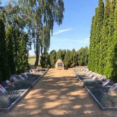
Gedenkstätte auf dem Friedhof Breitenfeld
6.3 km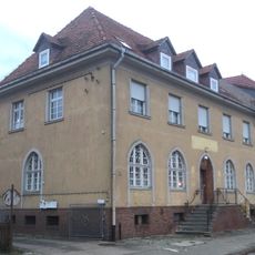
Postamt Kalbe
7.4 km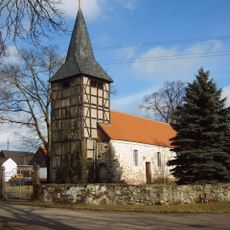
Dorfkirche Breitenfeld
6.3 km
Dorfkirche Estedt
2.7 km
Dorfkirche Lüffingen
6.2 km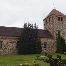
Dorfkirche Algenstedt
7.3 km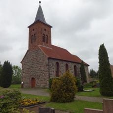
Dorfkirche Hemstedt
7.6 km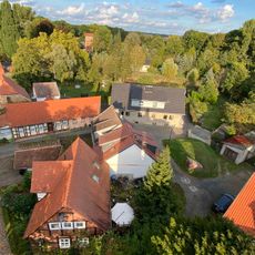
Kalbe castle
7.5 km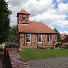
Dorfkirche
8.7 km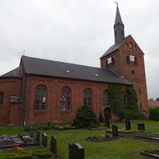
Dorfkirche Schenkenhorst
4.3 km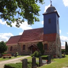
Dorfkirche Wernstedt
4.8 km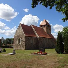
Dorfkirche Klein Engersen
3.4 kmVisited this place? Tap the stars to rate it and share your experience / photos with the community! Try now! You can cancel it anytime.
Discover hidden gems everywhere you go!
From secret cafés to breathtaking viewpoints, skip the crowded tourist spots and find places that match your style. Our app makes it easy with voice search, smart filtering, route optimization, and insider tips from travelers worldwide. Download now for the complete mobile experience.

A unique approach to discovering new places❞
— Le Figaro
All the places worth exploring❞
— France Info
A tailor-made excursion in just a few clicks❞
— 20 Minutes