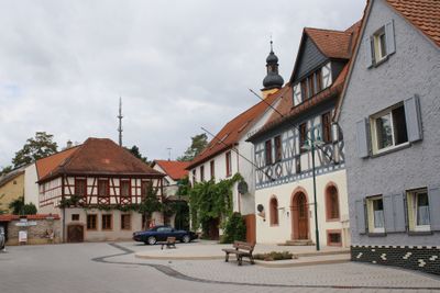
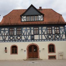
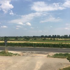
Nackenheim, municipality of Landkreis Mainz-Bingen, Germany
Location: Bodenheim
Elevation above the sea: 84 m
Website: http://nackenheim.de
GPS coordinates: 49.91528,8.33889
Latest update: March 7, 2025 23:17
Astheim
3.8 km
Hessenaue
3.6 km
St. Gereon
183 m
Weingut Heyl zu Herrnsheim
4.8 km
Weingut Gunderloch
365 m
Niersteiner Glöck
5 km
Paläontologisches Museum Nierstein
4.5 km
Laubenheimer-Bodenheimer Ried
4.1 km
Martinskirche Nierstein
4.6 km
St. Alban
2.6 km
Wallfahrtskapelle Maria Oberndorf
2 km
St. Michael
3.3 km
Menhir von Mainz-Laubenheim
4 km
Sender Bodenheim
104 m
Rathaus (Nackenheim)
251 m
Altes Rathaus (Bodenheim)
2.8 km
Wasserbehälter
3.1 km
Wasserbehälter
464 m
Menhir von Nierstein
4.9 km
Rothenberg
955 m
Erweiterung Laubenheimer - Bodenheimer Ried
3.5 km
Langer Stein (Nackenheim)
544 m
Niersteiner Wartturm
4.2 km
Lörzweiler Königstuhl
3.2 km
Schlossbergturm
5.4 km
St. Kilian
4.1 km
St. Martin
4.6 km
Pfarrkirche St. Petrus in Ketten
3.8 kmReviews
Visited this place? Tap the stars to rate it and share your experience / photos with the community! Try now! You can cancel it anytime.
Discover hidden gems everywhere you go!
From secret cafés to breathtaking viewpoints, skip the crowded tourist spots and find places that match your style. Our app makes it easy with voice search, smart filtering, route optimization, and insider tips from travelers worldwide. Download now for the complete mobile experience.
A unique approach to discovering new places❞
— Le Figaro
All the places worth exploring❞
— France Info
A tailor-made excursion in just a few clicks❞
— 20 Minutes