
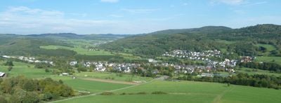
Rodenbach, human settlement in Germany
Location: Haiger
Elevation above the sea: 284 m
GPS coordinates: 50.77170,8.20917
Latest update: April 1, 2025 13:23
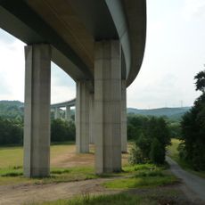
Haiger Bridge
1.9 km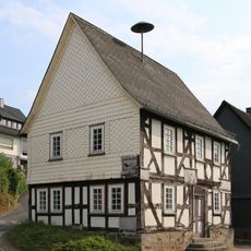
Ehemaliges Rathaus und Schule
2.5 km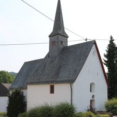
Evangelische Kirche Haiger-Rodenbach
87 m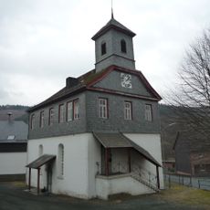
Evangelische Kirche Fellerdilln
2.3 km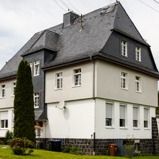
Alte Schule
2.4 km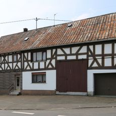
Fellerdillner Straße 3
51 m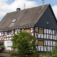
Haigerer Straße 22
2.4 km
Haigerer Straße 33
2.3 km
Rommelstraße 8/10
2.4 km
Seelbachstraße 16
2.3 km
Im Gelmbach 7/8
2.3 km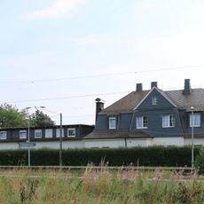
Bahnhof
417 m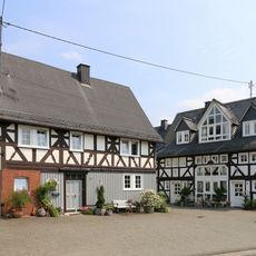
Oranienstraße 29
243 m
Haigerseelbacher Straße 25/27
2.1 km
Obergasse 1
129 m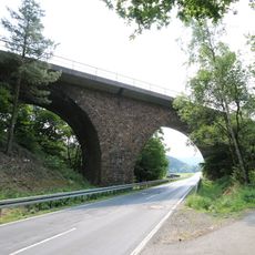
Eisenbahnbrücke L3442
1.1 km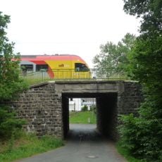
Eisenbahnbrücke
1.4 km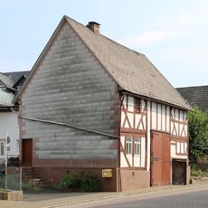
Grundstraße 43
2.4 km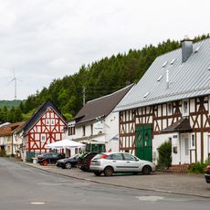
Historischer Ortskern Seelbach (Gesamtanlage)
2.3 km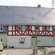
Oranienstraße 17
138 m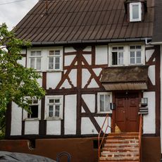
Haigerseelbacher Straße 41
2.2 km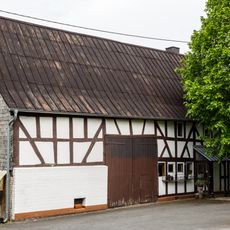
Haigerseelbacher Straße 42
2.3 km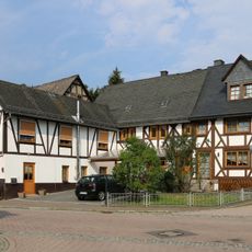
Grundstraße 33/35
2.4 km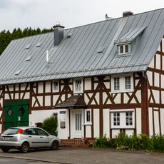
Seelbachstraße 12
2.3 km
Seelbachstraße 13a
2.3 km
Dillenburger Straße 12
2.3 km
Seelbachstraße 19
2.3 km
Seelbacher Mühle
1.5 kmVisited this place? Tap the stars to rate it and share your experience / photos with the community! Try now! You can cancel it anytime.
Discover hidden gems everywhere you go!
From secret cafés to breathtaking viewpoints, skip the crowded tourist spots and find places that match your style. Our app makes it easy with voice search, smart filtering, route optimization, and insider tips from travelers worldwide. Download now for the complete mobile experience.

A unique approach to discovering new places❞
— Le Figaro
All the places worth exploring❞
— France Info
A tailor-made excursion in just a few clicks❞
— 20 Minutes