
Ginseldorf, human settlement in Germany
Location: Marburg
Elevation above the sea: 197 m
GPS coordinates: 50.83920,8.81944
Latest update: April 22, 2025 09:57
Lahnberge
2.5 km
Cölbe station
2.5 km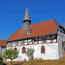
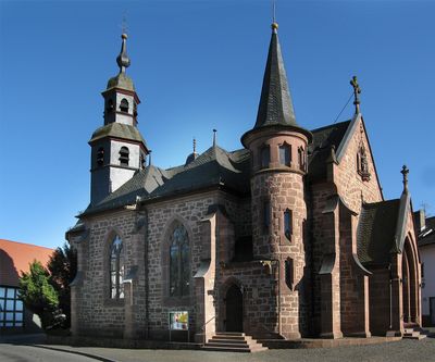
Alte Kirche Bürgeln
1.7 km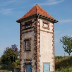
Transformatorenhäuschen
3.2 km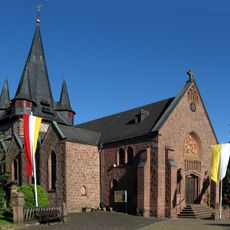
St. Cyriakus
2.5 km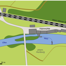
Hunburg
1.6 km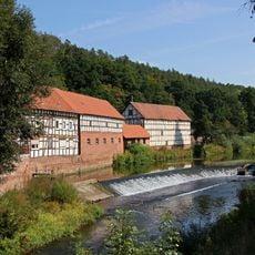
Hainmühle
1.7 km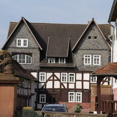
Ordensmühle (Anzefahr)
3.1 km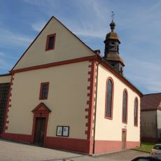
St. Michael (Anzefahr)
3.3 km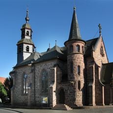
St. Johannes Church
268 m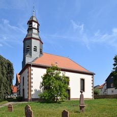
Evangelische Pfarrkirche
3.1 km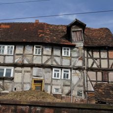
Schmittgasse 6
3.1 km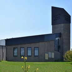
Neue Kirche
1.7 km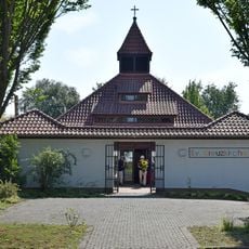
Holy Cross Church
2.1 km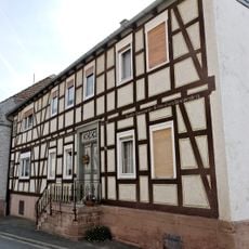
Marburger Straße 33
3.3 km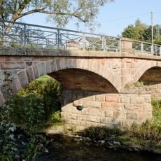
Ohm Bridge
1.6 km
Landschaftsschutzgebiet Auenverbund Lahn-Ohm
3.3 km
Schmittgasse 3
3.2 km
Kirchweg 1
3.2 km
Sindersfelder Straße 1
3.2 km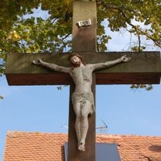
Hochkruzifix Sindersfelder Straße/Pfarrweg
3.2 km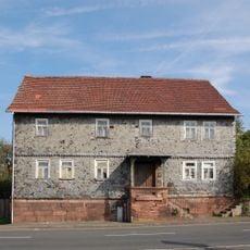
Marburger Straße 50
3.1 km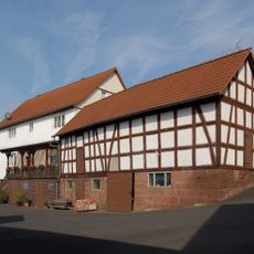
Marburger Straße 47
3.2 km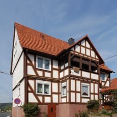
Marburger Straße 44
3.2 km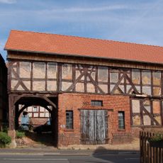
Marburger Straße 42
3.2 km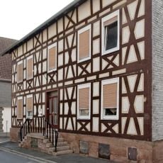
Marburger Straße 31
3.3 km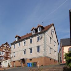
Kirchweg 3
3.2 km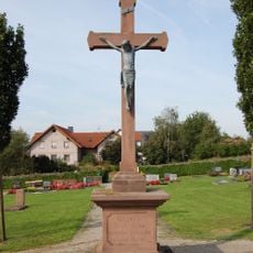
Hochkruzifix
3.2 kmReviews
Visited this place? Tap the stars to rate it and share your experience / photos with the community! Try now! You can cancel it anytime.
Discover hidden gems everywhere you go!
From secret cafés to breathtaking viewpoints, skip the crowded tourist spots and find places that match your style. Our app makes it easy with voice search, smart filtering, route optimization, and insider tips from travelers worldwide. Download now for the complete mobile experience.

A unique approach to discovering new places❞
— Le Figaro
All the places worth exploring❞
— France Info
A tailor-made excursion in just a few clicks❞
— 20 Minutes