
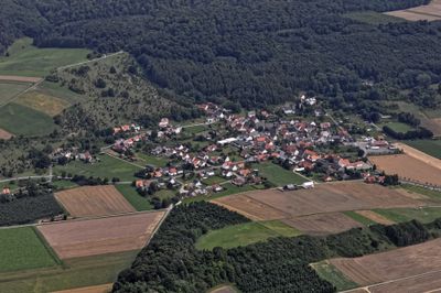
Ostheim, quartier de Liebenau, Hesse
Location: Liebenau
Elevation above the sea: 146 m
GPS coordinates: 51.50610,9.32111
Latest update: March 10, 2025 20:51
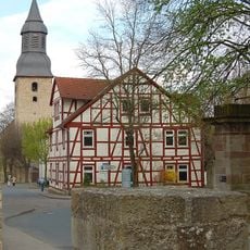
Altstädter Kirche
4.1 km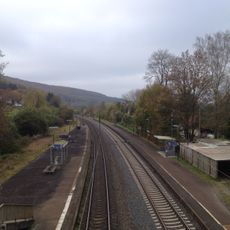
Gare de Liebenau
3.6 km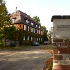
Schloss Liebenau
3 km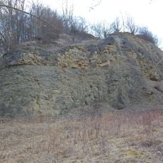
Burg Stenderberg
776 m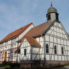
Hugenottenkirche
1.9 km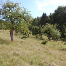
Ostheimer Hute
328 m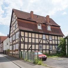
Entengasse 8
4.3 km
St. Blasius
4.3 km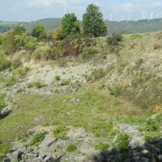
Kalkmagerrasen und Diemelaltwasser bei Lamerden
2.6 km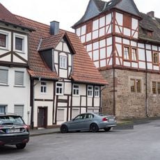
Altstädter Kirchplatz 4
4.2 km
Altstädter Kirchplatz 6
4.1 km
Petristraße 13
4.3 km
Altstädter Kirchplatz 2
4.2 km
Altstädter Kirchgasse 2 und 4
4.2 km
Altstädter Kirchplatz 5
4.1 km
Altstädter Kirchgasse 1
4.1 km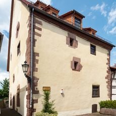
Apothekenstraße 5
4.3 km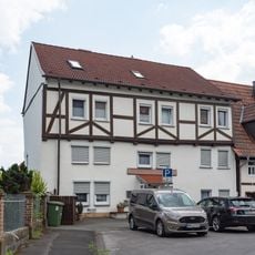
Altstädter Kirchplatz 3
4.2 km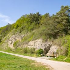
Schwiemelkopf
1.6 km
Farbestraße 1, Hochzeitshausfassade (Hofgeismar)
4.3 km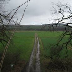
Landschaftsschutzgebiet Auenverbund Diemel
4 km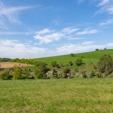
Ostheimer Hute
541 m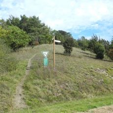
Warmberg-Osterberg
3 km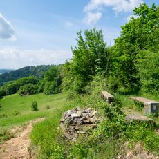
Schwiemelkopf
1.7 km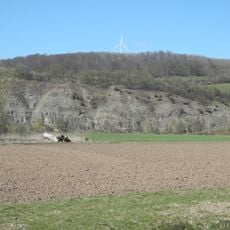
Siechenberg bei Liebenau
2.3 km
Mittelberg bei Hofgeismar
3.2 km
Der Bunte Berg bei Eberschütz
4 km
Kalkmagerrasen entlang der Diemel
2.5 kmVisited this place? Tap the stars to rate it and share your experience / photos with the community! Try now! You can cancel it anytime.
Discover hidden gems everywhere you go!
From secret cafés to breathtaking viewpoints, skip the crowded tourist spots and find places that match your style. Our app makes it easy with voice search, smart filtering, route optimization, and insider tips from travelers worldwide. Download now for the complete mobile experience.

A unique approach to discovering new places❞
— Le Figaro
All the places worth exploring❞
— France Info
A tailor-made excursion in just a few clicks❞
— 20 Minutes