
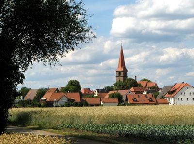
Poppenreuth, human settlement in Germany
Location: Fürth
Elevation above the sea: 302 m
GPS coordinates: 49.48220,11.01440
Latest update: April 26, 2025 05:13
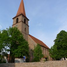
St. Peter und Paul
46 m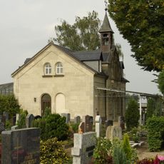
Friedhof Poppenreuth
249 m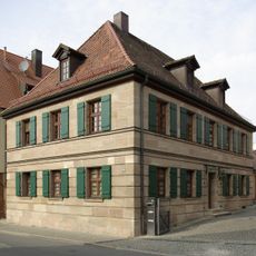
Poppenreuther Straße 133 (Fürth)
47 m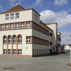
Herderstraße 7
1.3 km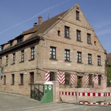
Herrensitz Höfles
1.3 km
Grund- und Mittelschule Pestalozzistraße
922 m
Erlanger Straße 73
1.2 km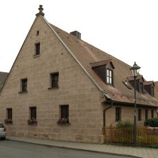
Wohnstallhaus
46 m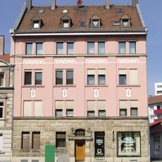
Erlanger Straße 35
1.3 km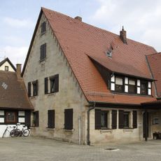
Poppenreuther Straße 139
16 m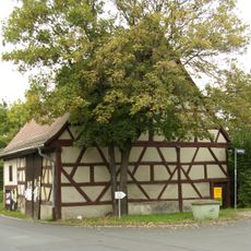
Scheune Poppenreuther Straße
127 m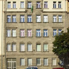
Erlanger Straße 71
1.2 km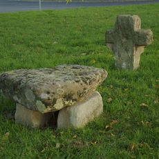
Steinkreuz und Ruhstein Poppenreuth
628 m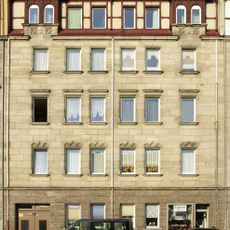
Erlanger Straße 75
1.2 km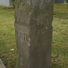
Grenzstein im Laubenweg
1.1 km
Poppenreuther Straße 130
22 m
Höfleser Hauptstraße 82
1.2 km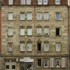
Mietshaus
1.3 km
Mietshaus
1.3 km
Mietshaus
1.2 km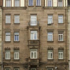
Mietshaus
1.3 km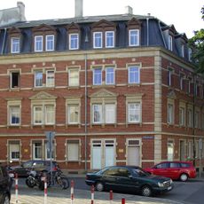
Mietshaus in Ecklage
1.1 km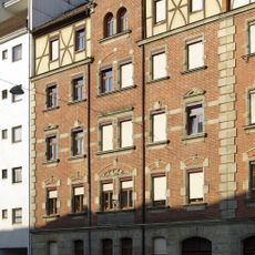
Erlanger Straße 65/67
1.2 km
Ehemaliger Gasthof
98 m
Poppenreuther Straße 120
102 m
Mietshaus
1.2 km
Mietshaus in Ecklage
1.2 km
Erlanger Straße 81
1.3 kmReviews
Visited this place? Tap the stars to rate it and share your experience / photos with the community! Try now! You can cancel it anytime.
Discover hidden gems everywhere you go!
From secret cafés to breathtaking viewpoints, skip the crowded tourist spots and find places that match your style. Our app makes it easy with voice search, smart filtering, route optimization, and insider tips from travelers worldwide. Download now for the complete mobile experience.

A unique approach to discovering new places❞
— Le Figaro
All the places worth exploring❞
— France Info
A tailor-made excursion in just a few clicks❞
— 20 Minutes